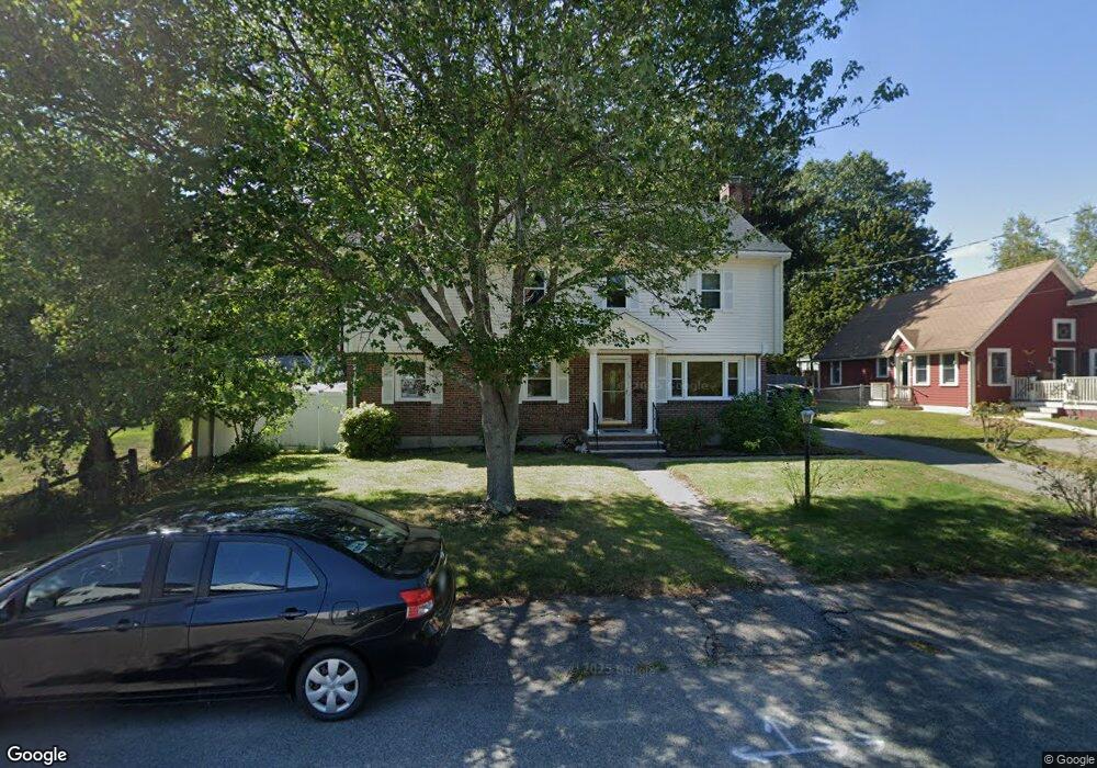
10 Glendale Rd Braintree, MA 02184
South Braintree NeighborhoodEstimated Value: $707,000 - $942,000
5
Beds
4
Baths
2,633
Sq Ft
$317/Sq Ft
Est. Value
About This Home
This home is located at 10 Glendale Rd, Braintree, MA 02184 and is currently estimated at $833,532, approximately $316 per square foot. 10 Glendale Rd is a home located in Norfolk County with nearby schools including Braintree High School, Step Ahead Kindergarten, and Thayer Academy.
Ownership History
Date
Name
Owned For
Owner Type
Purchase Details
Closed on
Feb 28, 2001
Sold by
Hackett Michael P
Bought by
Eng Tan
Current Estimated Value
Home Financials for this Owner
Home Financials are based on the most recent Mortgage that was taken out on this home.
Original Mortgage
$171,200
Interest Rate
7%
Mortgage Type
Purchase Money Mortgage
Create a Home Valuation Report for This Property
The Home Valuation Report is an in-depth analysis detailing your home's value as well as a comparison with similar homes in the area
Home Values in the Area
Average Home Value in this Area
Purchase History
| Date | Buyer | Sale Price | Title Company |
|---|---|---|---|
| Eng Tan | $214,000 | -- |
Source: Public Records
Mortgage History
| Date | Status | Borrower | Loan Amount |
|---|---|---|---|
| Open | Eng Tan | $290,000 | |
| Closed | Eng Tan | $324,000 | |
| Closed | Eng Tan | $171,200 |
Source: Public Records
Tax History
| Year | Tax Paid | Tax Assessment Tax Assessment Total Assessment is a certain percentage of the fair market value that is determined by local assessors to be the total taxable value of land and additions on the property. | Land | Improvement |
|---|---|---|---|---|
| 2025 | $7,520 | $753,500 | $328,900 | $424,600 |
| 2024 | $6,810 | $718,400 | $306,700 | $411,700 |
| 2023 | $6,525 | $668,500 | $275,600 | $392,900 |
| 2022 | $6,386 | $641,800 | $248,900 | $392,900 |
| 2021 | $5,937 | $596,700 | $224,900 | $371,800 |
| 2020 | $5,682 | $576,300 | $204,500 | $371,800 |
| 2019 | $5,315 | $526,800 | $195,600 | $331,200 |
| 2018 | $5,231 | $496,300 | $177,800 | $318,500 |
| 2017 | $5,099 | $474,800 | $168,900 | $305,900 |
| 2016 | $4,733 | $431,100 | $142,200 | $288,900 |
| 2015 | $4,636 | $418,800 | $140,500 | $278,300 |
| 2014 | $4,423 | $387,300 | $128,000 | $259,300 |
Source: Public Records
Map
Nearby Homes
- 29 Saint Michael Rd
- 6 Lunar Ave
- 80 Lake St
- 6 Franklin St
- 145 Hancock St Unit 307
- 145 Hancock St Unit 309
- 614 Pond St Unit 2104
- 47 Addison St
- 5 Woodsum Dr Unit 12
- 418 John Mahar Hwy Unit 408
- 70 Alida Rd
- 6 Oak St
- 422 John Mahar Hwy Unit 408
- 1579 Washington St
- 61 Grove St
- 44 Arlington Ave
- 426 John Mahar Hwy Unit 311
- 15 Alida Rd
- 107 Meadow Ln Unit 107
- 700 North St