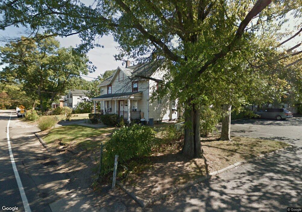
10 Harbor Rd Unit 1 Port Washington, NY 11050
Estimated Value: $834,000 - $1,609,477
3
Beds
2
Baths
5,020
Sq Ft
$243/Sq Ft
Est. Value
About This Home
This home is located at 10 Harbor Rd Unit 1, Port Washington, NY 11050 and is currently estimated at $1,221,739, approximately $243 per square foot. 10 Harbor Rd Unit 1 is a home located in Nassau County with nearby schools including John Philip Sousa Elementary School, Carrie Palmer Weber Middle School, and Paul D. Schreiber Senior High School.
Ownership History
Date
Name
Owned For
Owner Type
Purchase Details
Closed on
Nov 14, 2014
Sold by
Ressa Family Ii Llc and Cibants
Bought by
Ressa-Cibants
Current Estimated Value
Purchase Details
Closed on
Apr 19, 2004
Sold by
Ames Ressa
Purchase Details
Closed on
Oct 16, 2000
Sold by
Milgrim Tracey
Bought by
Ressa Ames D
Create a Home Valuation Report for This Property
The Home Valuation Report is an in-depth analysis detailing your home's value as well as a comparison with similar homes in the area
Home Values in the Area
Average Home Value in this Area
Purchase History
| Date | Buyer | Sale Price | Title Company |
|---|---|---|---|
| Ressa-Cibants | -- | Chicago Title Insurance Comp | |
| Ressa-Cibants | -- | Chicago Title Insurance Comp | |
| -- | -- | -- | |
| -- | -- | -- | |
| Ressa Ames D | $525,000 | Stephen Rossa | |
| Ressa Ames D | $525,000 | Stephen Rossa |
Source: Public Records
Tax History Compared to Growth
Tax History
| Year | Tax Paid | Tax Assessment Tax Assessment Total Assessment is a certain percentage of the fair market value that is determined by local assessors to be the total taxable value of land and additions on the property. | Land | Improvement |
|---|---|---|---|---|
| 2025 | $18,473 | $4,355 | $1,776 | $2,579 |
| 2024 | $4,842 | $4,355 | $1,776 | $2,579 |
| 2023 | $15,467 | $4,355 | $1,776 | $2,579 |
| 2022 | $15,467 | $4,355 | $1,776 | $2,579 |
| 2021 | $15,010 | $4,211 | $1,776 | $2,435 |
| 2020 | $15,169 | $3,182 | $1,776 | $1,406 |
| 2019 | $16,121 | $3,182 | $1,776 | $1,406 |
| 2018 | $15,120 | $3,182 | $0 | $0 |
| 2017 | $9,047 | $3,182 | $1,776 | $1,406 |
| 2016 | $13,932 | $3,182 | $1,776 | $1,406 |
| 2015 | $4,058 | $3,182 | $1,776 | $1,406 |
| 2014 | $4,058 | $3,182 | $1,776 | $1,406 |
| 2013 | $3,270 | $3,182 | $1,776 | $1,406 |
Source: Public Records
Map
Nearby Homes
- 25 School St
- 57 Sandy Hollow Rd
- 2 Smull Ln
- 46 Hillview Ave
- 372 Main St Unit 105
- 34 Hillview Ave
- 18 S Washington St
- 43 Miro Place
- 47 Carlton Ave
- 38 Madison St Unit 38L
- 13 Linda Rd
- 125 Main St Unit 1T
- 125 Main St Unit 2H
- 32 Herbert Ave
- 39 Annette Dr
- 16 Avenue A
- 1 Toms Point Ln Unit Bldg.2, Apt.4A
- 28 Charles St
- 6 Jeannette Dr
- 98 Pond View Dr Unit 240