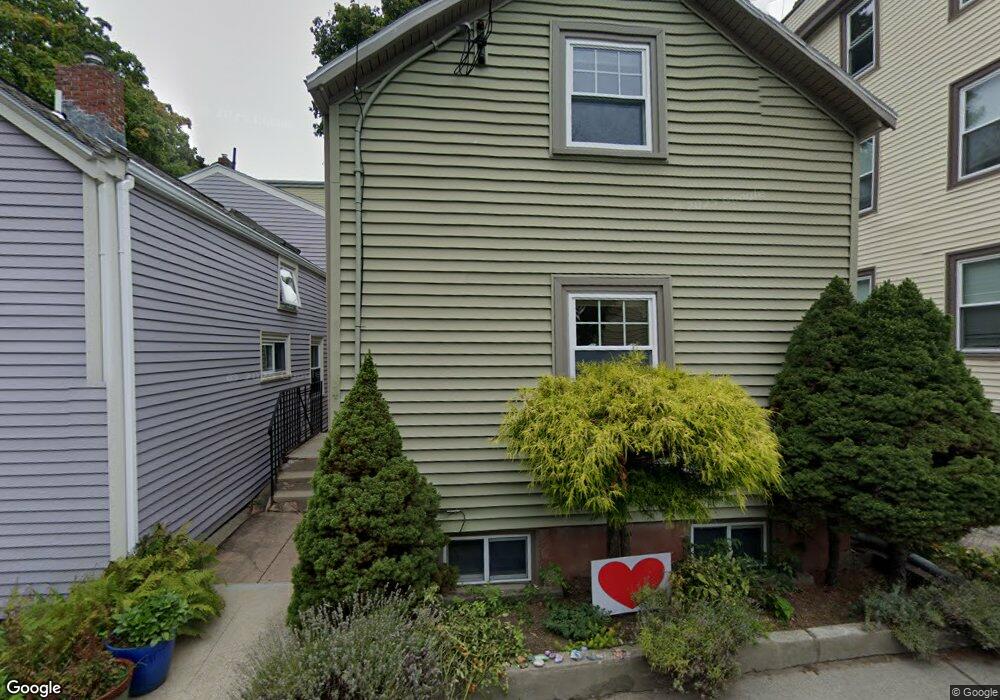
10 Hart St Brookline, MA 02445
Brookline Village NeighborhoodEstimated Value: $939,355 - $1,335,000
2
Beds
2
Baths
785
Sq Ft
$1,375/Sq Ft
Est. Value
About This Home
This home is located at 10 Hart St, Brookline, MA 02445 and is currently estimated at $1,079,089, approximately $1,374 per square foot. 10 Hart St is a home located in Norfolk County with nearby schools including William H. Lincoln School, Brookline High School, and Maimonides School.
Ownership History
Date
Name
Owned For
Owner Type
Purchase Details
Closed on
Jun 22, 2010
Sold by
Kelley Karen E
Bought by
Price Sarah N and Price Aaron M
Current Estimated Value
Home Financials for this Owner
Home Financials are based on the most recent Mortgage that was taken out on this home.
Original Mortgage
$300,000
Interest Rate
5.03%
Mortgage Type
Purchase Money Mortgage
Purchase Details
Closed on
Jun 25, 1998
Sold by
Thomas James M
Bought by
Kelley Karen E
Home Financials for this Owner
Home Financials are based on the most recent Mortgage that was taken out on this home.
Original Mortgage
$144,000
Interest Rate
7.09%
Mortgage Type
Purchase Money Mortgage
Create a Home Valuation Report for This Property
The Home Valuation Report is an in-depth analysis detailing your home's value as well as a comparison with similar homes in the area
Home Values in the Area
Average Home Value in this Area
Purchase History
| Date | Buyer | Sale Price | Title Company |
|---|---|---|---|
| Price Sarah N | $425,000 | -- | |
| Kelley Karen E | $180,000 | -- |
Source: Public Records
Mortgage History
| Date | Status | Borrower | Loan Amount |
|---|---|---|---|
| Open | Kelley Karen E | $291,000 | |
| Closed | Price Sarah N | $300,000 | |
| Previous Owner | Kelley Karen E | $144,000 |
Source: Public Records
Tax History
| Year | Tax Paid | Tax Assessment Tax Assessment Total Assessment is a certain percentage of the fair market value that is determined by local assessors to be the total taxable value of land and additions on the property. | Land | Improvement |
|---|---|---|---|---|
| 2025 | $8,634 | $874,800 | $550,300 | $324,500 |
| 2024 | $8,104 | $829,500 | $526,100 | $303,400 |
| 2023 | $7,435 | $745,700 | $448,300 | $297,400 |
| 2022 | $7,237 | $710,200 | $426,900 | $283,300 |
| 2021 | $6,692 | $682,900 | $410,500 | $272,400 |
| 2020 | $5,967 | $631,400 | $363,100 | $268,300 |
| 2019 | $5,634 | $601,300 | $345,800 | $255,500 |
| 2018 | $5,013 | $529,900 | $284,600 | $245,300 |
| 2017 | $4,939 | $499,900 | $268,500 | $231,400 |
| 2016 | $4,868 | $467,200 | $250,900 | $216,300 |
| 2015 | $4,612 | $431,800 | $234,500 | $197,300 |
| 2014 | $4,567 | $401,000 | $219,200 | $181,800 |
Source: Public Records
Map
Nearby Homes
- 209 High St
- 18 Chestnut Place
- 71 Highland Rd
- 241 Perkins St Unit D405
- 241 Perkins St Unit C402
- 241 Perkins St Unit G102
- 8 Leverett St Unit 3
- 21 Sargent Crossway
- 81 Glen Rd Unit S2
- 60 Glen Rd Unit 108
- 371 Walnut St
- 69 Walnut St Unit 2
- 69 Walnut St Unit 1
- 99 Pond Ave Unit 409
- 99 Pond Ave Unit 608
- 111 Perkins St Unit 282
- 111 Perkins St Unit 121
- 12 Thayer St
- 139 Perkins St Unit TH139
- 6 Juniper St Unit 16
Your Personal Tour Guide
Ask me questions while you tour the home.