Estimated Value: $794,000 - $1,753,000
2
Beds
3
Baths
1,998
Sq Ft
$626/Sq Ft
Est. Value
About This Home
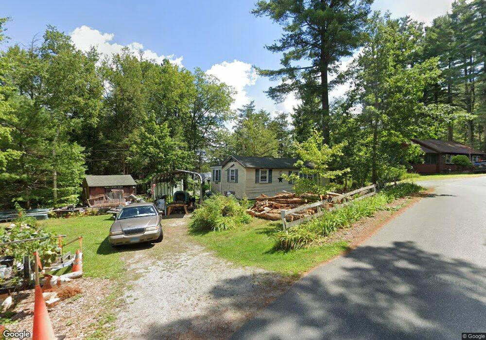
This home is located at 10 Hayre Island Rd, Otis, MA 01253 and is currently estimated at $1,251,303, approximately $626 per square foot. 10 Hayre Island Rd is a home with nearby schools including Farmington River Elementary School.
Create a Home Valuation Report for This Property
The Home Valuation Report is an in-depth analysis detailing your home's value as well as a comparison with similar homes in the area
Home Values in the Area
Average Home Value in this Area
Tax History Compared to Growth
Tax History
| Year | Tax Paid | Tax Assessment Tax Assessment Total Assessment is a certain percentage of the fair market value that is determined by local assessors to be the total taxable value of land and additions on the property. | Land | Improvement |
|---|---|---|---|---|
| 2025 | $7,539 | $1,167,100 | $531,500 | $635,600 |
| 2024 | $6,819 | $1,052,300 | $457,500 | $594,800 |
| 2023 | $6,431 | $971,500 | $350,900 | $620,600 |
| 2022 | $5,988 | $721,200 | $338,800 | $382,400 |
| 2021 | $5,988 | $707,000 | $361,900 | $345,100 |
| 2020 | $5,845 | $700,800 | $361,900 | $338,900 |
| 2019 | $5,803 | $700,800 | $361,900 | $338,900 |
| 2018 | $4,812 | $581,200 | $361,900 | $219,300 |
| 2017 | $3,646 | $451,200 | $361,900 | $89,300 |
| 2016 | $3,557 | $453,100 | $361,900 | $91,200 |
| 2015 | $3,158 | $419,400 | $314,600 | $104,800 |
Source: Public Records
Map
Nearby Homes
- 369 Pine Rd
- 454 Pine Rd
- 185 Pine Rd
- 134 Kibbe Rd
- 7 Reservoir Heights Rd
- 23 S Pine St
- 91 Pike Rd
- 129 W Shore Rd
- 854 Tolland Rd
- 236 Ridge Ave
- 168 Tolland Rd
- 38 Norton Road Extension
- 30 Brookman Dr
- 56 Otis-Tolland Rd
- 98 Loop Dr
- 307 Stanley Rd
- 191 Moreau Rd
- 58 Stanley Rd
- 0 Curtis Hall Rd Unit 73425043
- 0 Curtis Hall Rd Unit 73376838