10 Hemlock Point Rd Sherman, CT 06784
Estimated Value: $682,834 - $1,346,000
4
Beds
3
Baths
1,293
Sq Ft
$690/Sq Ft
Est. Value
About This Home
This home is located at 10 Hemlock Point Rd, Sherman, CT 06784 and is currently estimated at $891,709, approximately $689 per square foot. 10 Hemlock Point Rd is a home located in Fairfield County with nearby schools including Sherman School.
Ownership History
Date
Name
Owned For
Owner Type
Purchase Details
Closed on
Jul 19, 2022
Sold by
Shlansky Jan
Bought by
Jan Shlansky 2021 Ft
Current Estimated Value
Purchase Details
Closed on
Sep 10, 2015
Sold by
Kittay David R and Shilansky-Kittay Jan L
Bought by
Kittay David R and Shilansky-Kittay Jan L
Purchase Details
Closed on
Jun 12, 2003
Sold by
Hemlin Frank and Criner John B
Bought by
Kittay David R and Shlansky-Kittay Jan L
Home Financials for this Owner
Home Financials are based on the most recent Mortgage that was taken out on this home.
Original Mortgage
$488,000
Interest Rate
5.77%
Purchase Details
Closed on
Jun 24, 1997
Sold by
Miller Lawrence
Bought by
Hemlin Frank and Criner John B
Home Financials for this Owner
Home Financials are based on the most recent Mortgage that was taken out on this home.
Original Mortgage
$214,600
Interest Rate
7.87%
Mortgage Type
Unknown
Create a Home Valuation Report for This Property
The Home Valuation Report is an in-depth analysis detailing your home's value as well as a comparison with similar homes in the area
Home Values in the Area
Average Home Value in this Area
Purchase History
| Date | Buyer | Sale Price | Title Company |
|---|---|---|---|
| Jan Shlansky 2021 Ft | -- | None Available | |
| Shlansky Jan | -- | None Available | |
| Kittay David R | -- | -- | |
| Kittay David R | $610,000 | -- | |
| Hemlin Frank | $273,000 | -- |
Source: Public Records
Mortgage History
| Date | Status | Borrower | Loan Amount |
|---|---|---|---|
| Previous Owner | Hemlin Frank | $488,000 | |
| Previous Owner | Hemlin Frank | $214,600 |
Source: Public Records
Tax History Compared to Growth
Tax History
| Year | Tax Paid | Tax Assessment Tax Assessment Total Assessment is a certain percentage of the fair market value that is determined by local assessors to be the total taxable value of land and additions on the property. | Land | Improvement |
|---|---|---|---|---|
| 2025 | $6,153 | $369,100 | $208,400 | $160,700 |
| 2024 | $6,038 | $369,100 | $208,400 | $160,700 |
| 2023 | $6,577 | $369,100 | $208,400 | $160,700 |
| 2022 | $6,710 | $369,100 | $208,400 | $160,700 |
| 2021 | $6,880 | $369,100 | $208,400 | $160,700 |
| 2020 | $7,054 | $369,100 | $208,400 | $160,700 |
| 2019 | $7,312 | $369,100 | $208,400 | $160,700 |
| 2018 | $7,815 | $384,400 | $220,000 | $164,400 |
| 2017 | $7,815 | $384,400 | $220,000 | $164,400 |
| 2016 | $7,816 | $384,440 | $220,010 | $164,430 |
| 2015 | $7,728 | $385,630 | $220,010 | $165,620 |
| 2014 | $7,651 | $385,630 | $220,010 | $165,620 |
Source: Public Records
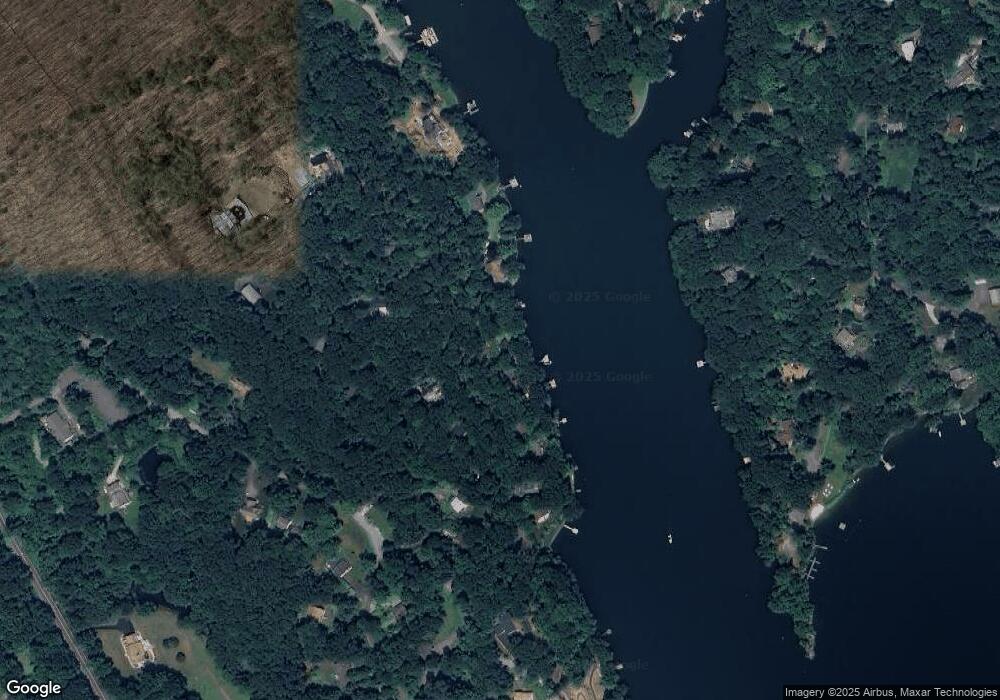
Map
Nearby Homes
- 21 Holiday Point Rd
- 8 Ledgewood Dr
- 4 Deer Run Trail
- 18 Fox Run
- 7 Ridge Rd
- 86 Connecticut 37
- 8 Candleview Dr
- 6 Brinsmade Ln
- 7 Glenview Dr
- 5 Stone Wall Ln
- 2 Coburn Road W, She Coburn Rd W
- 0 Rte 39 South State Route
- 5 Bridgeworth Ln
- 0 Wagon Wheel Rd Unit 24065102
- 43 Meeting House Rd
- 0 Sherman Rd
- 0 Candlewood Mountain Rd Unit 24137997
- 0 Candlewood Mountain Rd Unit 24138000
- 0 Candlewood Mountain Rd Unit 24134055
- 12 Shadow Ln