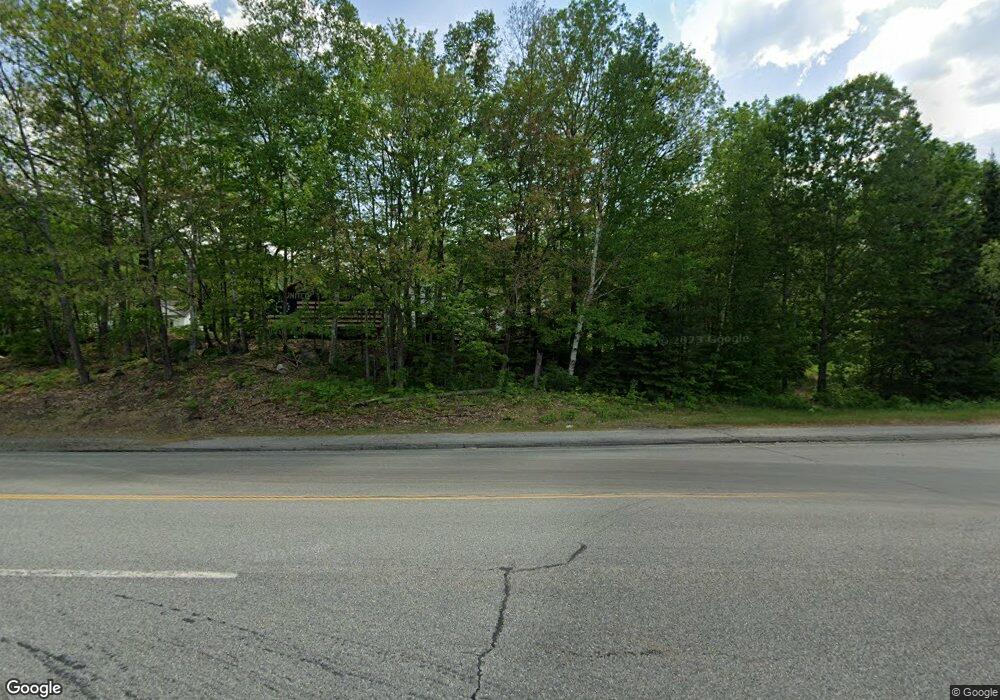
10 High St Phillips, ME 04966
Estimated Value: $107,000
Studio
--
Bath
768
Sq Ft
$139/Sq Ft
Est. Value
About This Home
This home is located at 10 High St, Phillips, ME 04966 and is currently estimated at $107,000, approximately $139 per square foot. 10 High St is a home with nearby schools including Mt. Abram Regional High School.
Ownership History
Date
Name
Owned For
Owner Type
Purchase Details
Closed on
Oct 13, 2022
Sold by
Freeway Investments
Bought by
Thatcher Annette
Current Estimated Value
Purchase Details
Closed on
Jan 11, 2012
Sold by
Mitchell Richard F and Mitchell Jan L
Bought by
Freeway Investments Inc
Purchase Details
Closed on
Apr 27, 2006
Sold by
Werzanski Patricia J
Bought by
Michell Richard F and Mitchell Jan L
Home Financials for this Owner
Home Financials are based on the most recent Mortgage that was taken out on this home.
Original Mortgage
$70,000
Interest Rate
6.4%
Mortgage Type
Purchase Money Mortgage
Create a Home Valuation Report for This Property
The Home Valuation Report is an in-depth analysis detailing your home's value as well as a comparison with similar homes in the area
Purchase History
| Date | Buyer | Sale Price | Title Company |
|---|---|---|---|
| Thatcher Annette | -- | None Available | |
| Thatcher Annette | -- | None Available | |
| Freeway Investments Inc | -- | -- | |
| Michell Richard F | -- | -- | |
| Michell Richard F | -- | -- | |
| Michell Richard F | -- | -- |
Source: Public Records
Mortgage History
| Date | Status | Borrower | Loan Amount |
|---|---|---|---|
| Previous Owner | Michell Richard F | $70,000 |
Source: Public Records
Tax History
| Year | Tax Paid | Tax Assessment Tax Assessment Total Assessment is a certain percentage of the fair market value that is determined by local assessors to be the total taxable value of land and additions on the property. | Land | Improvement |
|---|---|---|---|---|
| 2024 | $1,750 | $78,475 | $18,375 | $60,100 |
| 2023 | $1,507 | $78,475 | $18,375 | $60,100 |
| 2022 | $1,514 | $78,460 | $18,400 | $60,060 |
| 2021 | $1,608 | $78,460 | $18,400 | $60,060 |
| 2020 | $1,718 | $78,460 | $18,400 | $60,060 |
| 2019 | $1,749 | $78,435 | $18,375 | $60,060 |
| 2018 | $1,796 | $78,435 | $18,375 | $60,060 |
| 2017 | $1,702 | $78,435 | $18,375 | $60,060 |
| 2016 | $1,679 | $78,435 | $18,375 | $60,060 |
| 2015 | $1,694 | $78,435 | $18,375 | $60,060 |
| 2013 | $1,631 | $78,435 | $18,375 | $60,060 |
Source: Public Records
Map
Nearby Homes
- 83 Main St
- 150 River
- 43 Parlin Rd
- 1594 Rangeley Rd
- Lot #4 Woods Rd
- 372 River Rd
- 353 Salem Rd
- 77 Toothaker Pond Rd
- Lot 45 Tory Hill Rd
- 15 Stevens Rd
- Lot 62.2 Reed's Mill Rd
- Map 5 Lot 26 & 26 1 Bray Hill Rd
- MR11 L35 Burbank Hill Rd
- 233 Weld Rd
- 4 Cousineaus Tory Hill Heights
- 9 Mooseley Ridge Rd
- 138 Bray Hill Rd
- Lot #4 Mooseley Ridge Rd
- R6L9 Dickey Mills Rd
- 43 Brookside Ln