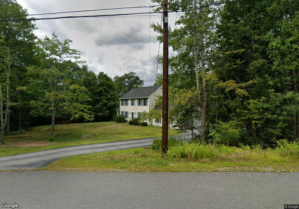
10 High View Dr Brookline, NH 03033
Estimated Value: $668,180 - $775,000
4
Beds
3
Baths
2,799
Sq Ft
$256/Sq Ft
Est. Value
About This Home
This home is located at 10 High View Dr, Brookline, NH 03033 and is currently estimated at $717,295, approximately $256 per square foot. 10 High View Dr is a home with nearby schools including Richard Maghakian Memorial School, Captain Samuel Douglass Academy, and Hollis-Brookline Middle School.
Create a Home Valuation Report for This Property
The Home Valuation Report is an in-depth analysis detailing your home's value as well as a comparison with similar homes in the area
Home Values in the Area
Average Home Value in this Area
Tax History Compared to Growth
Tax History
| Year | Tax Paid | Tax Assessment Tax Assessment Total Assessment is a certain percentage of the fair market value that is determined by local assessors to be the total taxable value of land and additions on the property. | Land | Improvement |
|---|---|---|---|---|
| 2024 | $12,958 | $573,100 | $211,200 | $361,900 |
| 2023 | $11,909 | $573,100 | $211,200 | $361,900 |
| 2022 | $10,173 | $342,300 | $127,100 | $215,200 |
| 2021 | $9,783 | $342,300 | $127,100 | $215,200 |
| 2020 | $9,516 | $342,300 | $127,100 | $215,200 |
| 2019 | $10,225 | $342,300 | $127,100 | $215,200 |
| 2018 | $10,118 | $342,300 | $127,100 | $215,200 |
| 2017 | $9,586 | $291,000 | $102,900 | $188,100 |
| 2016 | $9,475 | $291,000 | $102,900 | $188,100 |
| 2015 | $9,036 | $291,000 | $102,900 | $188,100 |
| 2014 | $9,559 | $291,000 | $102,900 | $188,100 |
| 2013 | $9,204 | $291,000 | $102,900 | $188,100 |
Source: Public Records
Map
Nearby Homes
- 9 Marjorie Dr
- 59 Cleveland Hill Rd
- 6 Laurelcrest Dr
- 2 Corey Hill Rd
- 12 Old Milford Rd
- 42 Pepperell Rd
- 22 Hobart Hill Rd
- 47 Pepperell Rd
- 18 Sawtelle Rd
- 55 Oak Hill Rd
- 25 Rocky Pond Rd
- 6 Flint Meadow Dr
- 15 N End Rd
- 5 Carons Way
- 6 High Oaks Path
- 0 Brookline St
- 1235 Townsend Rd
- 26 Ben Farnsworth Rd
- 52 W Hollis Rd
- 28 N Mason Rd