10 Hirams Grove Rd Sandyston, NJ 07826
Estimated Value: $459,000 - $534,000
--
Bed
--
Bath
2,059
Sq Ft
$239/Sq Ft
Est. Value
About This Home
This home is located at 10 Hirams Grove Rd, Sandyston, NJ 07826 and is currently estimated at $491,902, approximately $238 per square foot. 10 Hirams Grove Rd is a home located in Sussex County with nearby schools including Sandyston-Walpack Consolidated School and Kittatinny Regional High School.
Ownership History
Date
Name
Owned For
Owner Type
Purchase Details
Closed on
Jun 26, 1996
Sold by
Kawecki Stefan
Bought by
Degroat Dana and Degroat Lydia
Current Estimated Value
Home Financials for this Owner
Home Financials are based on the most recent Mortgage that was taken out on this home.
Original Mortgage
$140,000
Interest Rate
6%
Purchase Details
Closed on
Jun 29, 1994
Sold by
Iosco William J
Bought by
The National Bank Of Sussex County
Create a Home Valuation Report for This Property
The Home Valuation Report is an in-depth analysis detailing your home's value as well as a comparison with similar homes in the area
Home Values in the Area
Average Home Value in this Area
Purchase History
| Date | Buyer | Sale Price | Title Company |
|---|---|---|---|
| Degroat Dana | $180,000 | -- | |
| The National Bank Of Sussex County | -- | -- |
Source: Public Records
Mortgage History
| Date | Status | Borrower | Loan Amount |
|---|---|---|---|
| Closed | Degroat Dana | $140,000 |
Source: Public Records
Tax History Compared to Growth
Tax History
| Year | Tax Paid | Tax Assessment Tax Assessment Total Assessment is a certain percentage of the fair market value that is determined by local assessors to be the total taxable value of land and additions on the property. | Land | Improvement |
|---|---|---|---|---|
| 2025 | $8,538 | $270,200 | $76,700 | $193,500 |
| 2024 | $8,279 | $270,200 | $76,700 | $193,500 |
| 2023 | $8,279 | $270,200 | $76,700 | $193,500 |
| 2022 | $7,911 | $270,200 | $76,700 | $193,500 |
| 2021 | $7,666 | $270,200 | $76,700 | $193,500 |
| 2020 | $7,347 | $270,200 | $76,700 | $193,500 |
| 2019 | $7,028 | $270,200 | $76,700 | $193,500 |
| 2018 | $6,985 | $270,200 | $76,700 | $193,500 |
| 2017 | $6,866 | $270,200 | $76,700 | $193,500 |
| 2016 | $6,898 | $270,200 | $76,700 | $193,500 |
| 2015 | $6,660 | $270,200 | $76,700 | $193,500 |
| 2014 | $6,627 | $322,800 | $132,900 | $189,900 |
Source: Public Records
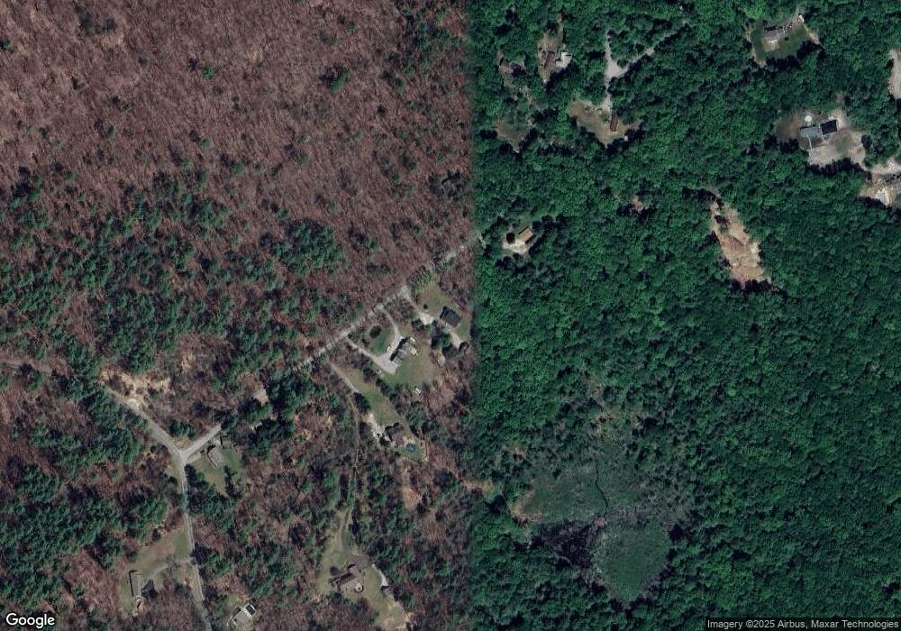
Map
Nearby Homes
- 11 Hirams Grove Rd
- 13 Sunrise Trail
- 4 Butternut Ln
- 00 Devita Rd
- 111 County Road 645
- 113 County Road 560
- 113 Rt560
- 119 Rte 560
- 43 Meyers Rd
- 155 Route560
- 12 Old Dingman Rd
- 161A County Road 645
- 163 County Road 645
- 174 County Road 645
- 8 Ayers Rd
- 9 Woods Rd
- 13 U S 206
- 4 Lake Path 1
- 461 U S Highway 206
- 3 Volker Ln
- 8 Hirams Grove Rd
- 12 Hirams Grove Rd
- 6 Hirams Grove Rd
- 5 Hirams Grove Rd
- 2 Hirams Grove Rd
- 14 Hirams Grove Rd
- 0 Sunrise Trail
- 16 Hirams Grove Rd
- 7 Hirams Grove Rd
- 4 Hirams Grove Rd
- 27 Hotalen Rd
- 9 Hirams Grove Rd
- 0 Hirams Grove Rd
- 31 Hotalen Rd
- 33 Hotalen Rd
- 24 Hotalen Rd
- 8 Martha St
- 57 Flatbrook Rd
- 26 Hotalen Rd
- 20 Hirams Grove Rd