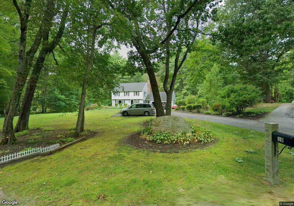
10 Holt Rd Amherst, NH 03031
Estimated Value: $668,027 - $703,000
4
Beds
3
Baths
2,267
Sq Ft
$305/Sq Ft
Est. Value
About This Home
This home is located at 10 Holt Rd, Amherst, NH 03031 and is currently estimated at $691,257, approximately $304 per square foot. 10 Holt Rd is a home with nearby schools including Wilkins Elementary School, Amherst Middle School, and Souhegan Cooperative High School.
Ownership History
Date
Name
Owned For
Owner Type
Purchase Details
Closed on
Jun 30, 2000
Sold by
Manisculco Richard M and Manisculco Tracy L
Bought by
Phillips Denise D
Current Estimated Value
Home Financials for this Owner
Home Financials are based on the most recent Mortgage that was taken out on this home.
Original Mortgage
$144,000
Interest Rate
8.59%
Purchase Details
Closed on
Jul 10, 1998
Sold by
Phillips Robert S
Bought by
Maniscalco Richard R and Maniscalco Tracy L
Create a Home Valuation Report for This Property
The Home Valuation Report is an in-depth analysis detailing your home's value as well as a comparison with similar homes in the area
Home Values in the Area
Average Home Value in this Area
Purchase History
| Date | Buyer | Sale Price | Title Company |
|---|---|---|---|
| Phillips Denise D | $254,000 | -- | |
| Maniscalco Richard R | $210,000 | -- |
Source: Public Records
Mortgage History
| Date | Status | Borrower | Loan Amount |
|---|---|---|---|
| Open | Maniscalco Richard R | $235,650 | |
| Closed | Maniscalco Richard R | $284,000 | |
| Closed | Maniscalco Richard R | $291,200 | |
| Closed | Maniscalco Richard R | $144,000 |
Source: Public Records
Tax History Compared to Growth
Tax History
| Year | Tax Paid | Tax Assessment Tax Assessment Total Assessment is a certain percentage of the fair market value that is determined by local assessors to be the total taxable value of land and additions on the property. | Land | Improvement |
|---|---|---|---|---|
| 2024 | $10,165 | $443,300 | $164,500 | $278,800 |
| 2023 | $9,699 | $443,300 | $164,500 | $278,800 |
| 2022 | $9,367 | $443,300 | $164,500 | $278,800 |
| 2021 | $9,447 | $443,300 | $164,500 | $278,800 |
| 2020 | $9,302 | $326,600 | $134,500 | $192,100 |
| 2019 | $8,805 | $326,600 | $134,500 | $192,100 |
| 2018 | $8,893 | $326,600 | $134,500 | $192,100 |
| 2017 | $8,495 | $326,600 | $134,500 | $192,100 |
| 2016 | $8,198 | $326,600 | $134,500 | $192,100 |
| 2015 | $8,151 | $307,800 | $138,100 | $169,700 |
| 2014 | $8,206 | $307,800 | $138,100 | $169,700 |
| 2013 | $8,141 | $307,800 | $138,100 | $169,700 |
Source: Public Records
Map
Nearby Homes
- 0 Claude Rd
- 7 Fox Run Rd
- 40 North St
- 377 Nashua St
- 7 Corduroy Rd Unit 20
- 7 Miles Rd
- 25 Atherton Ln
- 9 Northfield Rd
- 6 Whittemore Ln
- 18 Adams St
- 26 Oak St
- 30 Perkins St Unit 1
- 135 Amherst St Unit 28
- 18 Storybrook Ln
- 16 Storybrook Ln
- 57 Patch Hill Ln
- 3 Abby Ln Unit 2
- 1A Debbie Ln
- 8 Carriage Ln
- 229 Mont Vernon Rd