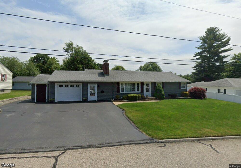
10 Howe Ln Millbury, MA 01527
Estimated Value: $352,000 - $535,000
3
Beds
1
Bath
1,134
Sq Ft
$402/Sq Ft
Est. Value
About This Home
This home is located at 10 Howe Ln, Millbury, MA 01527 and is currently estimated at $455,444, approximately $401 per square foot. 10 Howe Ln is a home located in Worcester County with nearby schools including Elmwood Street Elementary School, Raymond E. Shaw Elementary School, and Millbury Junior/Senior High School.
Ownership History
Date
Name
Owned For
Owner Type
Purchase Details
Closed on
Sep 19, 2017
Sold by
Yang Fei
Bought by
Yang Fei and Zhang Jinbin
Current Estimated Value
Purchase Details
Closed on
May 30, 2017
Sold by
Maynard Robert J
Bought by
Maynard Lt and Maynard
Purchase Details
Closed on
Oct 27, 2016
Sold by
Perkins David W and Perkins Pamela A
Bought by
Maynard Robert J
Purchase Details
Closed on
Oct 27, 1997
Sold by
Kotasek Leo L
Bought by
Perkins David W and Perkins Pamela A
Create a Home Valuation Report for This Property
The Home Valuation Report is an in-depth analysis detailing your home's value as well as a comparison with similar homes in the area
Home Values in the Area
Average Home Value in this Area
Purchase History
| Date | Buyer | Sale Price | Title Company |
|---|---|---|---|
| Yang Fei | -- | -- | |
| Yang Fei | -- | -- | |
| Maynard Lt | -- | -- | |
| Maynard Lt | -- | -- | |
| Maynard Robert J | $287,000 | -- | |
| Maynard Robert J | $287,000 | -- | |
| Perkins David W | $113,500 | -- | |
| Perkins David W | $113,500 | -- |
Source: Public Records
Mortgage History
| Date | Status | Borrower | Loan Amount |
|---|---|---|---|
| Previous Owner | Perkins David W | $180,000 | |
| Previous Owner | Perkins David W | $150,000 | |
| Previous Owner | Perkins David W | $40,000 |
Source: Public Records
Tax History Compared to Growth
Tax History
| Year | Tax Paid | Tax Assessment Tax Assessment Total Assessment is a certain percentage of the fair market value that is determined by local assessors to be the total taxable value of land and additions on the property. | Land | Improvement |
|---|---|---|---|---|
| 2025 | $6,075 | $453,700 | $110,800 | $342,900 |
| 2024 | $5,583 | $422,000 | $102,600 | $319,400 |
| 2023 | $5,073 | $351,100 | $72,000 | $279,100 |
| 2022 | $4,812 | $320,800 | $72,000 | $248,800 |
| 2021 | $4,708 | $305,100 | $72,000 | $233,100 |
| 2020 | $8,250 | $299,200 | $72,000 | $227,200 |
| 2019 | $4,517 | $285,000 | $71,600 | $213,400 |
| 2018 | $4,064 | $248,700 | $71,600 | $177,100 |
| 2017 | $3,904 | $237,600 | $71,600 | $166,000 |
| 2016 | $3,631 | $220,600 | $71,600 | $149,000 |
| 2015 | $3,595 | $218,400 | $72,900 | $145,500 |
| 2014 | $3,464 | $202,600 | $76,200 | $126,400 |
Source: Public Records
Map
Nearby Homes
- 64 Millbury Ave
- 123 Riverlin St
- 52 Clearview Terrace Unit 39
- 17 Atwood Ave
- 15 Clearview Terrace Unit 68
- 90 Macarthur Dr
- 12 Alstead Path
- 90 Park Hill Ave
- 15 Rayburn Dr
- 40 River St
- 5- 33 Tainter Hill Rd Unit 33A
- 5- 33 Tainter Hill Rd
- 16 Jackie Dr
- 2 Diane St
- 1 Broadmeadow Ave
- 86 Wheelock Ave
- 1 Pineland Ave
- 33 Tainter Hill Rd Unit 33B
- 16 Elm Ct
- 11 Westview Ave