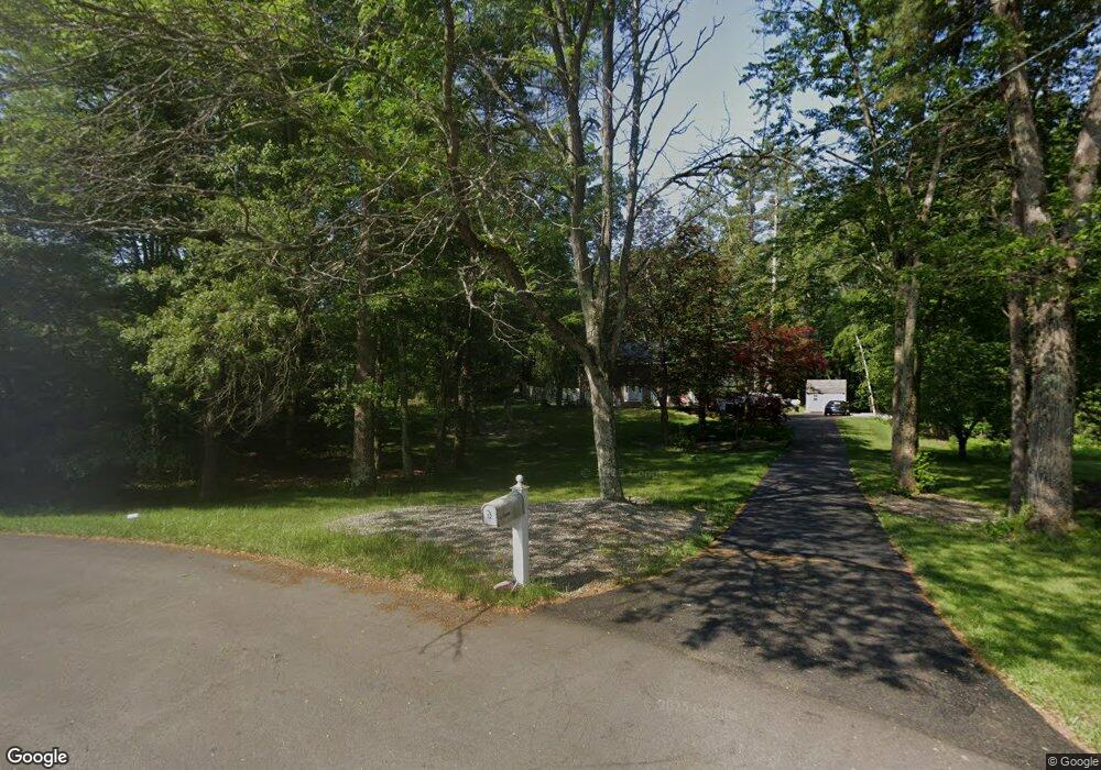
10 Independence Ave Derry, NH 03038
Derry AreaEstimated Value: $665,000 - $685,092
About This Home
This home is located at 10 Independence Ave, Derry, NH 03038 and is currently estimated at $671,773, approximately $345 per square foot. 10 Independence Ave is a home located in Rockingham County with nearby schools including South Range Elementary School, West Running Brook Middle School, and Pinkerton Academy.
Ownership History
We collect this data history from publicly available records. To have your information removed, we recommend requesting removal directly through your county’s website.
Purchase Details
Purchase Details
Home Values in the Area
Average Home Value in this Area
Purchase History
We collect this data history from publicly available records. To have your information removed, we recommend requesting removal directly through your county’s website.
| Date | Buyer | Sale Price | Title Company |
|---|---|---|---|
| $225,500 | -- | ||
| $188,300 | -- |
Mortgage History
We collect this data history from publicly available records. To have your information removed, we recommend requesting removal directly through your county’s website.
| Date | Status | Borrower | Loan Amount |
|---|---|---|---|
| Open | $157,100 |
Tax History
We collect this data history from publicly available records. To have your information removed, we recommend requesting removal directly through your county’s website.
| Year | Tax Paid | Tax Assessment Tax Assessment Total Assessment is a certain percentage of the fair market value that is determined by local assessors to be the total taxable value of land and additions on the property. | Land | Improvement |
|---|---|---|---|---|
| 2025 | $10,751 | $566,145 | $209,745 | $356,400 |
| 2024 | $10,581 | $566,145 | $209,745 | $356,400 |
| 2023 | $9,449 | $456,924 | $178,324 | $278,600 |
| 2022 | $8,700 | $456,924 | $178,324 | $278,600 |
| 2021 | $8,187 | $330,642 | $136,442 | $194,200 |
| 2020 | $8,048 | $330,642 | $136,442 | $194,200 |
| 2019 | $7,614 | $291,500 | $95,900 | $195,600 |
| 2018 | $7,918 | $291,490 | $95,890 | $195,600 |
| 2017 | $7,678 | $266,053 | $86,153 | $179,900 |
| 2016 | $7,199 | $266,053 | $86,153 | $179,900 |
| 2015 | $6,967 | $238,353 | $86,153 | $152,200 |
| 2014 | $7,012 | $238,353 | $86,153 | $152,200 |
| 2013 | $7,056 | $224,084 | $81,384 | $142,700 |
Map
- 11 Montgomery Farm Rd
- 122 Fordway Extension
- 12 Haskell Rd
- 6 Matthew Dr Unit 6 L
- 6 Johnny Hill Rd
- 70 Derryfield Rd Unit R
- 1L Matthew Dr Unit L
- 2 Grandview Rd
- 152 South Rd
- 12 Blueberry Rd
- 2 Brown Rd
- 97 Fordway Extension Unit 29
- 124 South Rd
- 122 South Rd
- 12 Rebecca Ln
- 120 South Rd
- 25R Derryfield Rd
- 22 Derryfield Rd Unit R
- 65 Londonderry Rd
- 5 Bedros St
- 12 Independence Ave
- 8 Independence Ave
- 7 Independence Ave
- 5 Independence Ave
- 6 Independence Ave
- 3 Independence Ave
- 4 Independence Ave
- 1 Independence Ave
- 2 Independence Ave
- 150 Fordway Extension
- 15 Beacon Hill Rd
- 13 Beacon Hill Rd
- 17 Beacon Hill Rd
- 152 Fordway Extension
- 19 Beacon Hill Rd
- 11 Beacon Hill Rd
- 21 Beacon Hill Rd
- 29 Beacon Hill Rd
- 23 Beacon Hill Rd
- 158 Fordway Extension
Ask me questions while you tour the home.