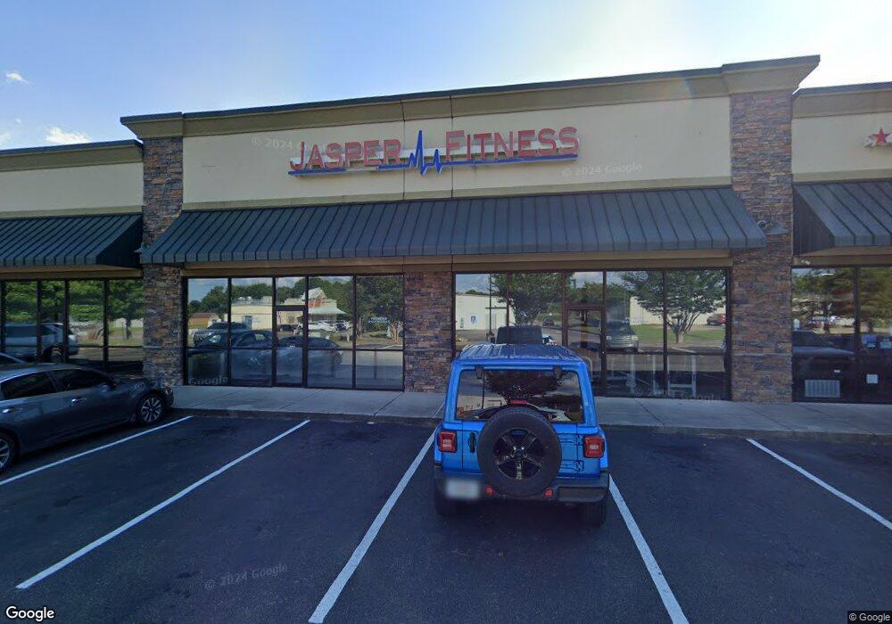
10 Interstate Dr N Unit 1 Jasper, GA 30143
Estimated Value: $734,550
--
Bed
--
Bath
12,000
Sq Ft
$61/Sq Ft
Est. Value
About This Home
This home is located at 10 Interstate Dr N Unit 1, Jasper, GA 30143 and is currently estimated at $734,550, approximately $61 per square foot. 10 Interstate Dr N Unit 1 is a home located in Pickens County with nearby schools including Hill City Elementary School, Pickens County Middle School, and Pickens County High School.
Ownership History
Date
Name
Owned For
Owner Type
Purchase Details
Closed on
Sep 18, 2008
Sold by
Hunter John L
Bought by
Hunter Son
Current Estimated Value
Purchase Details
Closed on
Sep 1, 2007
Sold by
Trinity Exchange Holding N
Bought by
Hunter John L and Kent Hunter J
Purchase Details
Closed on
Jun 8, 2007
Sold by
Not Provided
Bought by
Hunter
Purchase Details
Closed on
Mar 11, 1999
Sold by
Brock Johnny Dba
Bought by
Brock Johnny Etal
Purchase Details
Closed on
Feb 19, 1999
Sold by
Garner Joanie A
Bought by
Brock Johnny Dba
Purchase Details
Closed on
Nov 11, 1992
Sold by
Hunter & Son Llc
Bought by
Farner Joanie A
Create a Home Valuation Report for This Property
The Home Valuation Report is an in-depth analysis detailing your home's value as well as a comparison with similar homes in the area
Home Values in the Area
Average Home Value in this Area
Purchase History
| Date | Buyer | Sale Price | Title Company |
|---|---|---|---|
| Hunter Son | -- | -- | |
| Hunter John L | -- | -- | |
| Hunter | $350,000 | -- | |
| Brock Johnny Etal | $275,800 | -- | |
| Brock Johnny Dba | $35,000 | -- | |
| Farner Joanie A | -- | -- |
Source: Public Records
Tax History Compared to Growth
Tax History
| Year | Tax Paid | Tax Assessment Tax Assessment Total Assessment is a certain percentage of the fair market value that is determined by local assessors to be the total taxable value of land and additions on the property. | Land | Improvement |
|---|---|---|---|---|
| 2024 | $10,846 | $426,256 | $126,000 | $300,256 |
| 2023 | $11,080 | $426,256 | $126,000 | $300,256 |
| 2022 | $8,669 | $426,256 | $126,000 | $300,256 |
| 2021 | $8,473 | $388,860 | $126,000 | $262,860 |
| 2020 | $9,136 | $407,074 | $160,000 | $247,074 |
| 2019 | $9,346 | $407,074 | $160,000 | $247,074 |
| 2018 | $9,434 | $407,074 | $160,000 | $247,074 |
| 2017 | $9,588 | $407,074 | $160,000 | $247,074 |
Source: Public Records
Map
Nearby Homes
- 91 Pinnacle Way
- 10 Kane Dr
- 57 Mountain View Cir
- 251 Deerberry Dr
- 241 Deerberry Dr
- 200 Deerberry Dr Unit 32
- 190 Deerberry Dr
- 324 Northside Dr
- 2574 Highway 53 W
- 91 Little Doe Ln
- Aisle Plan at Rolling Meadows
- Elston Plan at Rolling Meadows
- Robie Plan at Rolling Meadows
- SUDBURY 24' TOWNHOME Plan at Rolling Meadows
- 143 Rolling Meadow Trace
- 190 Northside Dr
- 43 Rolling Meadow
- 43 Rolling Meadow Trace
- 33 Rolling Meadow
- 33 Rolling Meadow Trace
- 25 N I-515 Hwy N
- 5 B H Lee St
- 4 B H Lee St
- 70 B H Lee St Unit 1,2,3,5
- 25 H Mullins Ct
- H Hugh Mullins Ct
- 111 H Mullins Ct
- 1 Hugh Mullins Ct
- 494 Darnell Rd
- 1405 Philadelphia Rd
- 1356 Old Philadelphia Rd
- 0 Clearview Ln Unit 5162041
- 0 Clearview Ln Unit 6830299
- 1656 Talking Rock Rd
- 10 Clearview Ln
- 53 Garland Dr
- 1067 Philadelphia Rd
- 28 Hicks Rd
- 21 Hicks Rd
- 1545 Philadelphia Rd