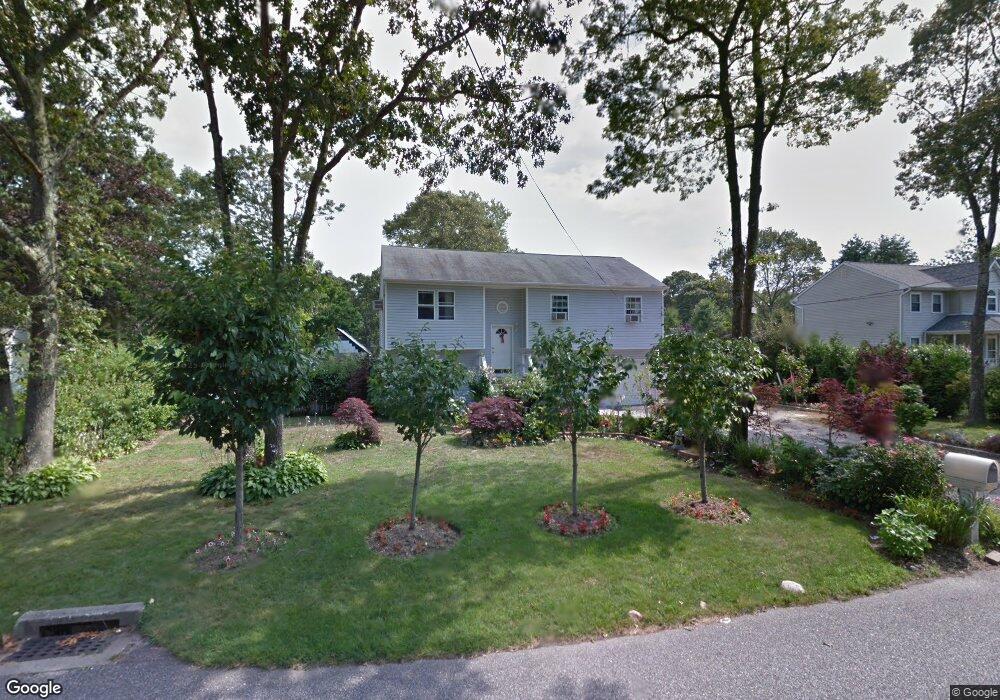
10 Jeanatta Ave Unit 1 Mastic, NY 11950
Estimated Value: $484,000 - $602,000
5
Beds
2
Baths
1,740
Sq Ft
$317/Sq Ft
Est. Value
About This Home
This home is located at 10 Jeanatta Ave Unit 1, Mastic, NY 11950 and is currently estimated at $551,656, approximately $317 per square foot. 10 Jeanatta Ave Unit 1 is a home located in Suffolk County with nearby schools including Nathaniel Woodhull Elementary School, William Floyd Middle School, and William Floyd High School.
Ownership History
Date
Name
Owned For
Owner Type
Purchase Details
Closed on
Jun 6, 2023
Sold by
Peralta Sixto and Gonzalez Plinio
Bought by
Peralta Sixto and Parra-Mendez Martka C
Current Estimated Value
Purchase Details
Closed on
May 10, 2007
Sold by
Rando Anthony and Rando Kimberly
Bought by
Peralta Sixto
Purchase Details
Closed on
May 10, 2000
Sold by
T & T Development Group Of L I Llc
Bought by
Rando Anthony and Rando Kimberly
Home Financials for this Owner
Home Financials are based on the most recent Mortgage that was taken out on this home.
Original Mortgage
$112,800
Interest Rate
8.12%
Mortgage Type
Purchase Money Mortgage
Purchase Details
Closed on
Apr 29, 1998
Sold by
Stanzoni Robert
Bought by
T & T Development Group Of L I Llc
Create a Home Valuation Report for This Property
The Home Valuation Report is an in-depth analysis detailing your home's value as well as a comparison with similar homes in the area
Home Values in the Area
Average Home Value in this Area
Purchase History
| Date | Buyer | Sale Price | Title Company |
|---|---|---|---|
| Peralta Sixto | -- | Misc Company | |
| Peralta Sixto | -- | Misc Company | |
| Peralta Sixto | $288,150 | Mario Campos | |
| Peralta Sixto | $288,150 | Mario Campos | |
| Rando Anthony | $141,000 | First American Title Ins Co | |
| Rando Anthony | $141,000 | First American Title Ins Co | |
| T & T Development Group Of L I Llc | $25,000 | -- | |
| T & T Development Group Of L I Llc | $25,000 | -- |
Source: Public Records
Mortgage History
| Date | Status | Borrower | Loan Amount |
|---|---|---|---|
| Previous Owner | Rando Anthony | $112,800 |
Source: Public Records
Tax History Compared to Growth
Tax History
| Year | Tax Paid | Tax Assessment Tax Assessment Total Assessment is a certain percentage of the fair market value that is determined by local assessors to be the total taxable value of land and additions on the property. | Land | Improvement |
|---|---|---|---|---|
| 2024 | $8,994 | $2,470 | $200 | $2,270 |
| 2023 | $8,994 | $2,470 | $200 | $2,270 |
| 2022 | $9,304 | $2,470 | $200 | $2,270 |
| 2021 | $9,304 | $2,470 | $200 | $2,270 |
| 2020 | $9,911 | $2,470 | $200 | $2,270 |
| 2019 | $9,911 | $0 | $0 | $0 |
| 2018 | -- | $2,470 | $200 | $2,270 |
| 2017 | $9,493 | $2,470 | $200 | $2,270 |
| 2016 | $9,522 | $2,470 | $200 | $2,270 |
| 2015 | -- | $2,470 | $200 | $2,270 |
| 2014 | -- | $2,470 | $200 | $2,270 |
Source: Public Records
Map
Nearby Homes
- 169 Pawnee Ave
- 24 Dover Ave
- VL Jeanatta Ave
- 0 Neptune Ave
- 120 Somerset Ave
- 154 Meadowmere Ave
- 108 Riviera Dr
- 107 Shinnecock Ave
- 123 Hawthorne St
- 111 Eleanor Ave
- 172 Southaven Ave
- 137 Riverside Ave
- 139 Madison St
- 180 Main Ave
- 150 Moriches Ave
- 122 Eleanor Ave
- 42A Wills Ave
- 172 Hampton Ave
- 155 Moriches Ave
- 193 Shinnecock Ave