10 Kent Island Moultonborough, NH 03254
Estimated Value: $1,662,185 - $2,026,000
7
Beds
3
Baths
2,967
Sq Ft
$631/Sq Ft
Est. Value
About This Home
This home is located at 10 Kent Island, Moultonborough, NH 03254 and is currently estimated at $1,873,395, approximately $631 per square foot. 10 Kent Island is a home located in Carroll County with nearby schools including Moultonborough Central School and Moultonborough Academy High School.
Ownership History
Date
Name
Owned For
Owner Type
Purchase Details
Closed on
Jan 26, 2017
Sold by
Elizabeth J Leibowitz J and Elizabeth Leiobowitz
Bought by
Kent Island Llc
Current Estimated Value
Purchase Details
Closed on
Oct 8, 2013
Sold by
Leibowitz Elizabeth J
Bought by
Elizabeth J Leibowitz J and Elizabeth Leibowitz
Purchase Details
Closed on
Oct 9, 1990
Bought by
Elizabeth J Leibowitz T
Create a Home Valuation Report for This Property
The Home Valuation Report is an in-depth analysis detailing your home's value as well as a comparison with similar homes in the area
Home Values in the Area
Average Home Value in this Area
Purchase History
| Date | Buyer | Sale Price | Title Company |
|---|---|---|---|
| Kent Island Llc | -- | -- | |
| Elizabeth J Leibowitz J | -- | -- | |
| Elizabeth J Leibowitz T | -- | -- |
Source: Public Records
Tax History Compared to Growth
Tax History
| Year | Tax Paid | Tax Assessment Tax Assessment Total Assessment is a certain percentage of the fair market value that is determined by local assessors to be the total taxable value of land and additions on the property. | Land | Improvement |
|---|---|---|---|---|
| 2024 | $8,339 | $1,476,000 | $1,247,500 | $228,500 |
| 2023 | $7,631 | $1,338,700 | $1,114,900 | $223,800 |
| 2022 | $5,576 | $1,166,500 | $963,600 | $202,900 |
| 2021 | $6,437 | $922,200 | $741,100 | $181,100 |
| 2020 | $6,008 | $842,700 | $668,600 | $174,100 |
| 2019 | $5,703 | $797,600 | $650,800 | $146,800 |
| 2018 | $5,426 | $702,800 | $557,800 | $145,000 |
| 2017 | $5,597 | $680,900 | $557,800 | $123,100 |
| 2016 | $2,496 | $656,100 | $539,200 | $116,900 |
| 2015 | $5,959 | $661,400 | $539,200 | $122,200 |
| 2014 | $5,860 | $661,400 | $539,200 | $122,200 |
| 2013 | $5,748 | $661,400 | $539,200 | $122,200 |
Source: Public Records
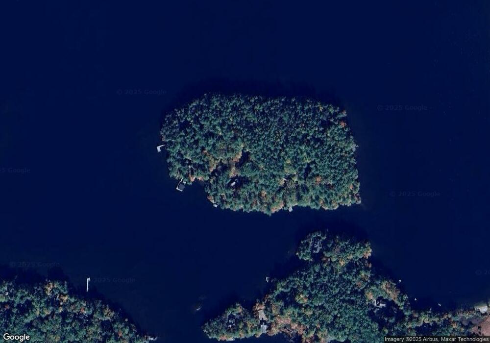
Map
Nearby Homes
- 2 Prescott Rd
- 53 Bay Dr
- 371 Range Rd
- 19 Abenaki Ln
- M:027 L:002-001 Sheridan Rd
- M:027 L:002 Sheridan Rd
- 67 Skinner St
- 45 Skinner St
- 100 Marvin Rd
- 46 Laurel Island Ln
- 28 Potato Island
- 30 Westwind Shores Rd Unit 30
- 284 Wentworth Hill Rd
- 525 Whittier Hwy
- 00 Whittier Hwy Unit 8
- 52 Chase Cir
- 647 Whittier Hwy
- 384 New Hampshire 113
- 38 Lake Shore Dr Unit 12
- 38 Lake Shore Dr Unit 10
- 2 Kent Island
- 58 Wiggin Farm Rd
- 62 Wiggin Farm Rd
- 76 Wiggin Farm Rd
- 12 Brown Point Rd
- 46 Old Harvard Rd
- 46 Wiggin Farm Rd
- 38 Wiggin Farm Rd
- 941 Bean Rd
- 945 Bean Rd
- 879 Bean Rd
- 750 Squam Lake Rd
- 891 Bean Rd
- 843 Bean Rd
- 30 Brown Point Rd
- 904 Bean Rd
- 880 Bean Rd
- 837 Bean Rd
- 932 Bean Rd
- 150 Old Harvard Rd