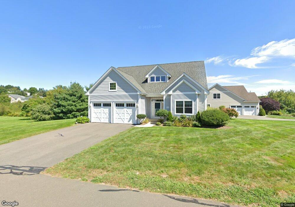
10 Knibbs Cir Unit 7 Bristol, CT 06010
North Bristol NeighborhoodEstimated Value: $489,207 - $504,000
3
Beds
3
Baths
2,230
Sq Ft
$223/Sq Ft
Est. Value
About This Home
This home is located at 10 Knibbs Cir Unit 7, Bristol, CT 06010 and is currently estimated at $496,552, approximately $222 per square foot. 10 Knibbs Cir Unit 7 is a home located in Hartford County with nearby schools including West Bristol Sch, Bristol Central High School, and Immanuel Lutheran School.
Ownership History
Date
Name
Owned For
Owner Type
Purchase Details
Closed on
Jan 4, 2024
Sold by
Thompson William W
Bought by
Thompson T T and Thompson T
Current Estimated Value
Purchase Details
Closed on
Jun 18, 2019
Sold by
Thompson William W and Thompson Barbara J
Bought by
Thompson William W
Purchase Details
Closed on
Jun 8, 2007
Sold by
Lemieux Developers Llc
Bought by
Thompson William W and Thompson Barbara J
Home Financials for this Owner
Home Financials are based on the most recent Mortgage that was taken out on this home.
Original Mortgage
$228,000
Interest Rate
6.17%
Create a Home Valuation Report for This Property
The Home Valuation Report is an in-depth analysis detailing your home's value as well as a comparison with similar homes in the area
Home Values in the Area
Average Home Value in this Area
Purchase History
| Date | Buyer | Sale Price | Title Company |
|---|---|---|---|
| Thompson T T | -- | None Available | |
| Thompson T T | -- | None Available | |
| Thompson William W | -- | -- | |
| Thompson William W | -- | -- | |
| Thompson William W | $370,000 | -- | |
| Thompson William W | $370,000 | -- |
Source: Public Records
Mortgage History
| Date | Status | Borrower | Loan Amount |
|---|---|---|---|
| Previous Owner | Thompson William W | $250,000 | |
| Previous Owner | Thompson William W | $228,000 | |
| Previous Owner | Thompson William W | $228,000 |
Source: Public Records
Tax History Compared to Growth
Tax History
| Year | Tax Paid | Tax Assessment Tax Assessment Total Assessment is a certain percentage of the fair market value that is determined by local assessors to be the total taxable value of land and additions on the property. | Land | Improvement |
|---|---|---|---|---|
| 2025 | $7,957 | $235,760 | $0 | $235,760 |
| 2024 | $7,509 | $235,760 | $0 | $235,760 |
| 2023 | $7,155 | $235,760 | $0 | $235,760 |
| 2022 | $7,694 | $200,620 | $0 | $200,620 |
| 2021 | $7,694 | $200,620 | $0 | $200,620 |
| 2020 | $7,694 | $200,620 | $0 | $200,620 |
| 2019 | $7,634 | $200,620 | $0 | $200,620 |
| 2018 | $7,399 | $200,620 | $0 | $200,620 |
| 2017 | $7,697 | $213,640 | $0 | $213,640 |
| 2016 | $7,697 | $213,640 | $0 | $213,640 |
| 2015 | $7,394 | $213,640 | $0 | $213,640 |
| 2014 | $6,682 | $193,060 | $0 | $193,060 |
Source: Public Records
Map
Nearby Homes
- 6 Ridgecrest Ln
- 820 Matthews St Unit 29
- 26 Martin Rd
- 565 Clark Ave Unit 17
- 441 Clark Ave Unit 2
- 441 Clark Ave Unit 5
- 321 Matthews St
- 62 Gino Dr
- 66 Gino Dr
- 65 Gino Dr
- 146 Perkins St
- 35 James P Casey Rd
- 439 James P Casey Rd
- 120 Barlow St
- 90 Battle St
- 6 Sand Hill Rd
- 1970 Perkins St
- 19 Main St
- 96 Putnam St
- Lots 16, 18 and 22 E Hill St
- 10 Knibbs Cir
- 90 Roberts Trace Unit 24
- 90 Roberts Trace Unit 90
- 70 Roberts Trace Unit 70
- 45 Roberts Trace
- 45 Roberts Trace Unit 45
- 15 Kenneth Terrace Unit 13
- 00 Kenneth Terrace
- 000 Kenneth Terrace
- 12 Kenneth Terrace Unit 12
- 16 Kenneth Trace Unit 16
- Unit23 Roberts Trace
- 141 Peppermint Ln
- 77 Wintergreen Rd
- 97 Wintergreen Rd
- Lot #27 Roberts Trace Unit 27
- 87 Wintergreen Rd
- 151 Peppermint Ln
- 27 Glen Cove
- 0 Roberts Trace Unit 60