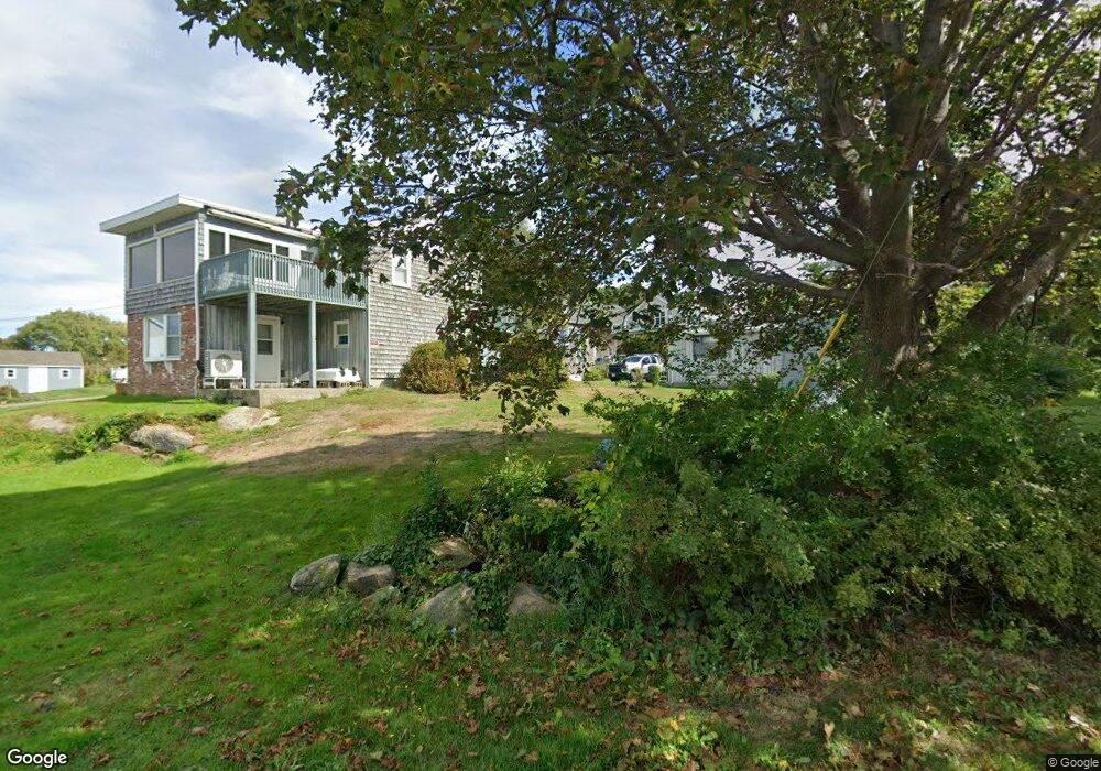
10 Langsford Way Gloucester, MA 01930
Estimated Value: $491,912 - $600,000
1
Bed
1
Bath
546
Sq Ft
$994/Sq Ft
Est. Value
About This Home
This home is located at 10 Langsford Way, Gloucester, MA 01930 and is currently estimated at $542,978, approximately $994 per square foot. 10 Langsford Way is a home located in Essex County with nearby schools including Plum Cove School, Ralph B O'maley Middle School, and Gloucester High School.
Ownership History
Date
Name
Owned For
Owner Type
Purchase Details
Closed on
Jun 30, 2006
Sold by
Vandemark Kathleen A and Vandemark Peter H
Bought by
Hafey James M and Hafey Heidi Moses
Current Estimated Value
Home Financials for this Owner
Home Financials are based on the most recent Mortgage that was taken out on this home.
Original Mortgage
$247,000
Outstanding Balance
$146,070
Interest Rate
6.58%
Mortgage Type
Purchase Money Mortgage
Estimated Equity
$396,908
Purchase Details
Closed on
Jun 9, 1998
Sold by
Rog Philip and Rog Karen M
Bought by
Vandemark Peter H and Vandermark Kathleen A
Create a Home Valuation Report for This Property
The Home Valuation Report is an in-depth analysis detailing your home's value as well as a comparison with similar homes in the area
Purchase History
| Date | Buyer | Sale Price | Title Company |
|---|---|---|---|
| Hafey James M | $274,500 | -- | |
| Vandemark Peter H | $130,000 | -- |
Source: Public Records
Mortgage History
| Date | Status | Borrower | Loan Amount |
|---|---|---|---|
| Open | Vandemark Peter H | $247,000 |
Source: Public Records
Tax History
| Year | Tax Paid | Tax Assessment Tax Assessment Total Assessment is a certain percentage of the fair market value that is determined by local assessors to be the total taxable value of land and additions on the property. | Land | Improvement |
|---|---|---|---|---|
| 2025 | $3,510 | $361,100 | $229,800 | $131,300 |
| 2024 | $3,388 | $348,200 | $218,900 | $129,300 |
| 2023 | $3,454 | $326,200 | $204,700 | $121,500 |
| 2022 | $3,242 | $276,400 | $174,000 | $102,400 |
| 2021 | $3,205 | $257,600 | $158,300 | $99,300 |
| 2020 | $3,006 | $243,800 | $158,300 | $85,500 |
| 2019 | $2,981 | $234,900 | $158,300 | $76,600 |
| 2018 | $2,935 | $227,000 | $158,300 | $68,700 |
| 2017 | $2,856 | $216,500 | $150,800 | $65,700 |
| 2016 | $2,783 | $204,500 | $151,300 | $53,200 |
| 2015 | $2,824 | $206,900 | $151,300 | $55,600 |
Source: Public Records
Map
Nearby Homes
- 10 Emerald St
- 43 High St Unit B
- 1030 Washington St
- 9 Hickory St
- 4 Ciaramitaro Ct
- 94 Phillips Ave
- 136 Leonard St
- 13 Phillips Ave
- 32 Haven Ave
- 5 Boulder Top
- 33 Quarry Ridge Ln Unit 33
- 13 Rowe Point
- 5 Smith St Unit R
- 672 Washington St
- 1 Charte Ct
- 1 Main St Unit R
- 1 Main St Unit C
- 1 Jewett St Unit 2
- 177 Main St
- 1 High St
- 9 Langsford Way Unit Summer
- 9 Langsford Way
- 12 Langsford Way
- 6 Old Farm Ln
- 14 Langsford Way
- 8 Old Farm Ln
- 4 Old Farm Ln
- 7 Sunset Point Rd
- 13 Langsford Way
- 16 Langsford Way
- 16 Langsford St
- 5 Sunset Point Rd
- 20 Langsford St
- 6R Langsford St
- 8 Sunset Point Rd
- 6 Langsford St
- 6 Langsford St Unit 1
- 6 Langsford St Unit 2
- 13 Sunset Point Rd
- 8 Langsford St
Your Personal Tour Guide
Ask me questions while you tour the home.