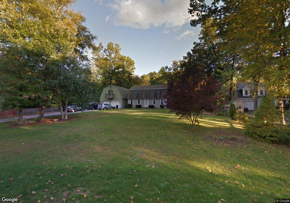
10 Laurel Hill Rd Londonderry, NH 03053
Estimated Value: $642,553 - $689,000
4
Beds
2
Baths
2,372
Sq Ft
$282/Sq Ft
Est. Value
About This Home
This home is located at 10 Laurel Hill Rd, Londonderry, NH 03053 and is currently estimated at $667,888, approximately $281 per square foot. 10 Laurel Hill Rd is a home with nearby schools including North Londonderry Elementary School, Londonderry Middle School, and Londonderry Senior High School.
Ownership History
Date
Name
Owned For
Owner Type
Purchase Details
Closed on
Sep 12, 2022
Sold by
Bisson Pamela and Bisson Thomas E
Bought by
Bisson Ft
Current Estimated Value
Purchase Details
Closed on
Mar 29, 2002
Sold by
Bisson Pamela and Bisson Thomas E
Bought by
Carr Thomas S and Carr Barbara M
Home Financials for this Owner
Home Financials are based on the most recent Mortgage that was taken out on this home.
Original Mortgage
$212,400
Interest Rate
6.88%
Purchase Details
Closed on
Nov 20, 2000
Sold by
Dandrea Katherine E
Bought by
Flynn Richard P
Home Financials for this Owner
Home Financials are based on the most recent Mortgage that was taken out on this home.
Original Mortgage
$171,912
Interest Rate
7.78%
Create a Home Valuation Report for This Property
The Home Valuation Report is an in-depth analysis detailing your home's value as well as a comparison with similar homes in the area
Home Values in the Area
Average Home Value in this Area
Purchase History
| Date | Buyer | Sale Price | Title Company |
|---|---|---|---|
| Bisson Ft | -- | None Available | |
| Carr Thomas S | $35,000 | -- | |
| Bisson Pamela | $249,900 | -- | |
| Flynn Richard P | $172,000 | -- |
Source: Public Records
Mortgage History
| Date | Status | Borrower | Loan Amount |
|---|---|---|---|
| Previous Owner | Flynn Richard P | $38,900 | |
| Previous Owner | Flynn Richard P | $224,500 | |
| Previous Owner | Flynn Richard P | $212,400 | |
| Previous Owner | Flynn Richard P | $171,912 |
Source: Public Records
Tax History Compared to Growth
Tax History
| Year | Tax Paid | Tax Assessment Tax Assessment Total Assessment is a certain percentage of the fair market value that is determined by local assessors to be the total taxable value of land and additions on the property. | Land | Improvement |
|---|---|---|---|---|
| 2024 | $8,624 | $534,300 | $199,900 | $334,400 |
| 2023 | $8,202 | $524,100 | $199,900 | $324,200 |
| 2022 | $7,590 | $410,700 | $149,800 | $260,900 |
| 2021 | $7,549 | $410,700 | $149,800 | $260,900 |
| 2020 | $7,483 | $372,100 | $121,100 | $251,000 |
| 2019 | $7,215 | $372,100 | $121,100 | $251,000 |
| 2018 | $6,658 | $307,200 | $100,200 | $207,000 |
| 2017 | $6,639 | $307,200 | $100,200 | $207,000 |
| 2016 | $6,605 | $307,200 | $100,200 | $207,000 |
| 2015 | $6,457 | $307,200 | $100,200 | $207,000 |
| 2014 | $6,479 | $307,200 | $100,200 | $207,000 |
| 2011 | -- | $310,300 | $100,200 | $210,100 |
Source: Public Records
Map
Nearby Homes
- 5 Hickory Hill Dr
- 11 Elise Ave Unit Lot 91
- 3 Chandler Dr
- 224 High Range Rd
- 35 Red Deer Rd
- 90 High Range Rd
- 88 High Range Rd
- 6 Wiley Hill Rd
- 12 Wiley Hill Rd
- 169 Fieldstone Dr
- 193 Fieldstone Dr
- 193 Fieldstone Dr Unit 193
- 118 Fieldstone Dr Unit 118
- 10 Jason Dr
- 57 Hardy Rd
- 214 Winding Pond Rd
- 267 Winding Pond Rd
- 20 Wedgewood Dr
- 10 Judy Dr
- 15 Alan Cir
- 8 Laurel Hill Rd
- 12 Laurel Hill Rd
- 5 Laurel Hill Rd
- 3 Poplar Cir
- 3 Laurel Hill Rd
- 6 Laurel Hill Rd
- 7 Laurel Hill Rd
- 8 Mayflower Dr
- 6 Mayflower Dr
- 9 Laurel Hill Rd
- 10 Mayflower Dr
- 12 Mayflower Dr
- 4 Laurel Hill Rd
- 14 Mayflower Dr
- 10 Chestnut Hill Dr
- 4 Poplar Cir
- 12 Chestnut Hill Dr
- 6 Poplar Cir
- 14 Chestnut Hill Dr
- 9 Mayflower Dr