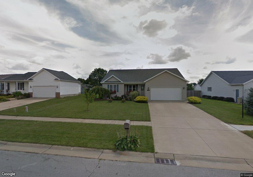
10 Laurel Ln Norwalk, OH 44857
Estimated Value: $271,000 - $328,000
3
Beds
2
Baths
1,476
Sq Ft
$199/Sq Ft
Est. Value
About This Home
This home is located at 10 Laurel Ln, Norwalk, OH 44857 and is currently estimated at $294,015, approximately $199 per square foot. 10 Laurel Ln is a home located in Huron County with nearby schools including Maplehurst Elementary School, Pleasant Elementary School, and League Elementary School.
Ownership History
Date
Name
Owned For
Owner Type
Purchase Details
Closed on
Jan 28, 2011
Bought by
Crites Robin E and Crites Pamela S
Current Estimated Value
Purchase Details
Closed on
Feb 21, 2008
Bought by
Wooten Tommi M and Wooten Ryan C
Purchase Details
Closed on
Jul 27, 2005
Bought by
Gruhn Tommi M
Purchase Details
Closed on
Jan 23, 2004
Bought by
Gruhn Tommi M
Purchase Details
Closed on
Sep 10, 2001
Sold by
Barman Christopher
Bought by
Schafer Thomas F and Schafer Janet
Purchase Details
Closed on
Jun 11, 2001
Bought by
Barman Christopher J
Purchase Details
Closed on
Mar 27, 1998
Bought by
Barman Construction Inc
Create a Home Valuation Report for This Property
The Home Valuation Report is an in-depth analysis detailing your home's value as well as a comparison with similar homes in the area
Home Values in the Area
Average Home Value in this Area
Purchase History
| Date | Buyer | Sale Price | Title Company |
|---|---|---|---|
| Crites Robin E | $158,000 | -- | |
| Wooten Tommi M | -- | -- | |
| Gruhn Tommi M | -- | -- | |
| Gruhn Tommi M | $147,300 | -- | |
| Schafer Thomas F | $22,400 | -- | |
| Barman Christopher J | -- | -- | |
| Barman Construction Inc | -- | -- |
Source: Public Records
Tax History
| Year | Tax Paid | Tax Assessment Tax Assessment Total Assessment is a certain percentage of the fair market value that is determined by local assessors to be the total taxable value of land and additions on the property. | Land | Improvement |
|---|---|---|---|---|
| 2024 | $3,536 | $86,280 | $9,430 | $76,850 |
| 2023 | $3,523 | $66,810 | $7,880 | $58,930 |
| 2022 | $2,695 | $66,810 | $7,880 | $58,930 |
| 2021 | $2,696 | $66,810 | $7,880 | $58,930 |
| 2020 | $2,608 | $61,480 | $7,880 | $53,600 |
| 2019 | $2,550 | $61,480 | $7,880 | $53,600 |
| 2018 | $2,506 | $61,480 | $7,880 | $53,600 |
| 2017 | $2,240 | $54,770 | $7,880 | $46,890 |
| 2016 | $2,198 | $54,770 | $7,880 | $46,890 |
| 2015 | $2,029 | $50,570 | $7,880 | $42,690 |
| 2014 | $2,065 | $51,040 | $6,690 | $44,350 |
| 2013 | $1,795 | $51,040 | $6,690 | $44,350 |
Source: Public Records
Map
Nearby Homes
- 19 Morley Dr
- 237 W Main St
- 144 Sycamore Dr
- 115 Fairway Cir
- 102 Fairway Cir
- 36 Cortland St
- 24 Baker St
- 15 Minard Place
- 113 State St
- 4010 Drake Rd
- 167 Whittlesey Ave
- 25 E League St
- 33 E League St
- 11 Deer Track Trail Unit A
- 28 Amber Way
- 123 E Main St
- 41 W Willard Ave
- 6 White Tail Way Unit C
- 33 Falcon Crest Dr Unit C
- 116 Milan Ave
Your Personal Tour Guide
Ask me questions while you tour the home.