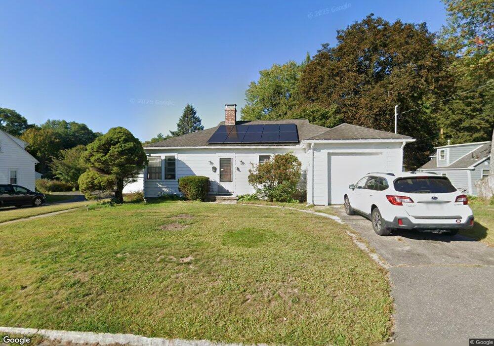
10 Laurel St Unit 10 Northampton, MA 01060
Florence NeighborhoodEstimated Value: $393,000 - $469,000
3
Beds
1
Bath
1,348
Sq Ft
$313/Sq Ft
Est. Value
About This Home
This home is located at 10 Laurel St Unit 10, Northampton, MA 01060 and is currently estimated at $422,068, approximately $313 per square foot. 10 Laurel St Unit 10 is a home located in Hampshire County with nearby schools including Northampton High School, Hilltown Cooperative Charter Public School, and The Montessori School of Northampton.
Ownership History
Date
Name
Owned For
Owner Type
Purchase Details
Closed on
Mar 1, 2021
Sold by
Denno Janice and Delue Chriszel
Bought by
Freeman Christopher and Page Kathleen E
Current Estimated Value
Home Financials for this Owner
Home Financials are based on the most recent Mortgage that was taken out on this home.
Original Mortgage
$270,450
Outstanding Balance
$242,439
Interest Rate
2.7%
Mortgage Type
Purchase Money Mortgage
Estimated Equity
$179,629
Purchase Details
Closed on
Jul 11, 2013
Sold by
Delue Chriszel
Bought by
Delue Chriszel and Fraser Dorothy
Create a Home Valuation Report for This Property
The Home Valuation Report is an in-depth analysis detailing your home's value as well as a comparison with similar homes in the area
Home Values in the Area
Average Home Value in this Area
Purchase History
| Date | Buyer | Sale Price | Title Company |
|---|---|---|---|
| Freeman Christopher | $300,500 | None Available | |
| Delue Chriszel | -- | -- |
Source: Public Records
Mortgage History
| Date | Status | Borrower | Loan Amount |
|---|---|---|---|
| Open | Freeman Christopher | $270,450 |
Source: Public Records
Tax History Compared to Growth
Tax History
| Year | Tax Paid | Tax Assessment Tax Assessment Total Assessment is a certain percentage of the fair market value that is determined by local assessors to be the total taxable value of land and additions on the property. | Land | Improvement |
|---|---|---|---|---|
| 2025 | $5,557 | $398,900 | $129,800 | $269,100 |
| 2024 | $4,598 | $302,700 | $129,800 | $172,900 |
| 2023 | $4,432 | $279,800 | $117,900 | $161,900 |
| 2022 | $3,031 | $169,400 | $55,600 | $113,800 |
| 2021 | $2,842 | $163,600 | $52,900 | $110,700 |
| 2020 | $2,748 | $163,600 | $52,900 | $110,700 |
| 2019 | $2,645 | $152,300 | $49,300 | $103,000 |
| 2018 | $1,883 | $150,600 | $49,300 | $101,300 |
| 2017 | $2,514 | $150,600 | $49,300 | $101,300 |
| 2016 | $2,434 | $150,600 | $49,300 | $101,300 |
| 2015 | $2,514 | $159,100 | $51,500 | $107,600 |
| 2014 | $2,449 | $159,100 | $51,500 | $107,600 |
Source: Public Records
Map
Nearby Homes
- 56 Olive St
- 57 Columbus Ave
- 25 Munroe St
- 12 School St
- 49 Kensington Ave
- 35 New South St Unit 307
- 67 Old South St
- 218 Elm St
- 244 Main St
- 86 Lyman Rd
- 43 Center St Unit K
- 14 Arlington St
- 321 Riverside Dr
- 11 Norwood Ave
- 325 Riverside Dr
- 63 Riverside Dr
- 61 Woodlawn Ave
- 215 State St
- 107 Williams St Unit 2c
- 107 Williams St Unit 3c