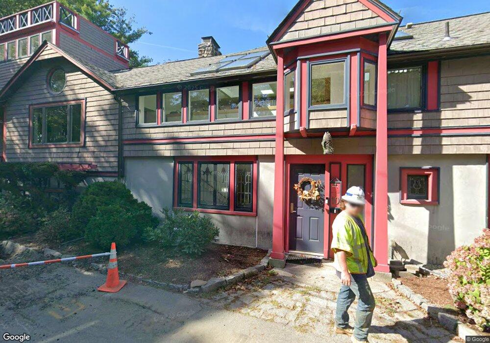
10 Ledge Rd Gloucester, MA 01930
East Gloucester NeighborhoodEstimated Value: $1,298,000 - $1,947,000
2
Beds
3
Baths
2,270
Sq Ft
$651/Sq Ft
Est. Value
About This Home
This home is located at 10 Ledge Rd, Gloucester, MA 01930 and is currently estimated at $1,477,842, approximately $651 per square foot. 10 Ledge Rd is a home located in Essex County with nearby schools including East Gloucester Elementary School, Ralph B O'maley Middle School, and Gloucester High School.
Ownership History
Date
Name
Owned For
Owner Type
Purchase Details
Closed on
Dec 5, 2022
Sold by
Lam Ullabritt E
Bought by
Ullabritt E Lam Lt
Current Estimated Value
Purchase Details
Closed on
Oct 10, 1997
Sold by
Mitnik Robert I and Mitnik Marsha
Bought by
Lam Tak Ming and Lam Ullabritt E
Home Financials for this Owner
Home Financials are based on the most recent Mortgage that was taken out on this home.
Original Mortgage
$180,000
Interest Rate
7.52%
Mortgage Type
Purchase Money Mortgage
Purchase Details
Closed on
Jul 9, 1987
Sold by
Babson David E
Bought by
Mitnik Marsha
Create a Home Valuation Report for This Property
The Home Valuation Report is an in-depth analysis detailing your home's value as well as a comparison with similar homes in the area
Home Values in the Area
Average Home Value in this Area
Purchase History
| Date | Buyer | Sale Price | Title Company |
|---|---|---|---|
| Ullabritt E Lam Lt | -- | None Available | |
| Lam Tak Ming | $343,000 | -- | |
| Mitnik Marsha | $228,000 | -- |
Source: Public Records
Mortgage History
| Date | Status | Borrower | Loan Amount |
|---|---|---|---|
| Previous Owner | Mitnik Marsha | $200,000 | |
| Previous Owner | Mitnik Marsha | $138,193 | |
| Previous Owner | Mitnik Marsha | $180,000 |
Source: Public Records
Tax History
| Year | Tax Paid | Tax Assessment Tax Assessment Total Assessment is a certain percentage of the fair market value that is determined by local assessors to be the total taxable value of land and additions on the property. | Land | Improvement |
|---|---|---|---|---|
| 2025 | $11,056 | $1,137,400 | $366,000 | $771,400 |
| 2024 | $10,261 | $1,054,600 | $348,500 | $706,100 |
| 2023 | $9,613 | $907,700 | $311,200 | $596,500 |
| 2022 | $9,323 | $794,800 | $270,600 | $524,200 |
| 2021 | $9,030 | $725,900 | $246,000 | $479,900 |
| 2020 | $8,886 | $720,700 | $231,900 | $488,800 |
| 2019 | $9,287 | $731,800 | $231,900 | $499,900 |
| 2018 | $9,606 | $742,900 | $231,900 | $511,000 |
| 2017 | $9,652 | $731,800 | $220,800 | $511,000 |
| 2016 | $9,270 | $681,100 | $209,400 | $471,700 |
| 2015 | $8,890 | $651,300 | $209,400 | $441,900 |
Source: Public Records
Map
Nearby Homes
- 1 Wonson St
- 73 Rocky Neck Ave Unit 2
- 60 Rocky Neck Ave Unit 202
- 197 E Main St Unit 1
- 15 Raven Ln Unit 15
- 10 Seaview Rd
- 11 Ocean View Dr
- 191 Main St Unit 3
- 191 Main St Unit 2A
- 139A Prospect St
- 35 Middle St Unit 4
- 33 Middle St
- 3 Mondello Square
- 15 Mount Vernon St
- 87 Atlantic Rd Unit 2
- 36 Eastern Ave
- 5 Wise Place
- 113 Pleasant St
- 50 Warner St
- 33 Maplewood Ave Unit 310
- 152 Mount Pleasant Ave
- 12 Ledge Rd
- 154 Mount Pleasant Ave
- 150 Mount Pleasant Ave
- 3 Marble St
- 158 Mount Pleasant Ave
- 139 Mount Pleasant Ave
- 7 Marble St
- 141 Mount Pleasant Ave
- 3 Ledge Rd
- 3 Ledge Rd Unit R
- 3 Ledge Rd
- 3 Ledge Rd
- 6 Ledge Rd
- 22 Ledge Rd
- 160 Mount Pleasant Ave
- 135 Mount Pleasant Ave
- 6 Marble St
- 143 Mount Pleasant Ave
- 144 Mount Pleasant Ave
Your Personal Tour Guide
Ask me questions while you tour the home.