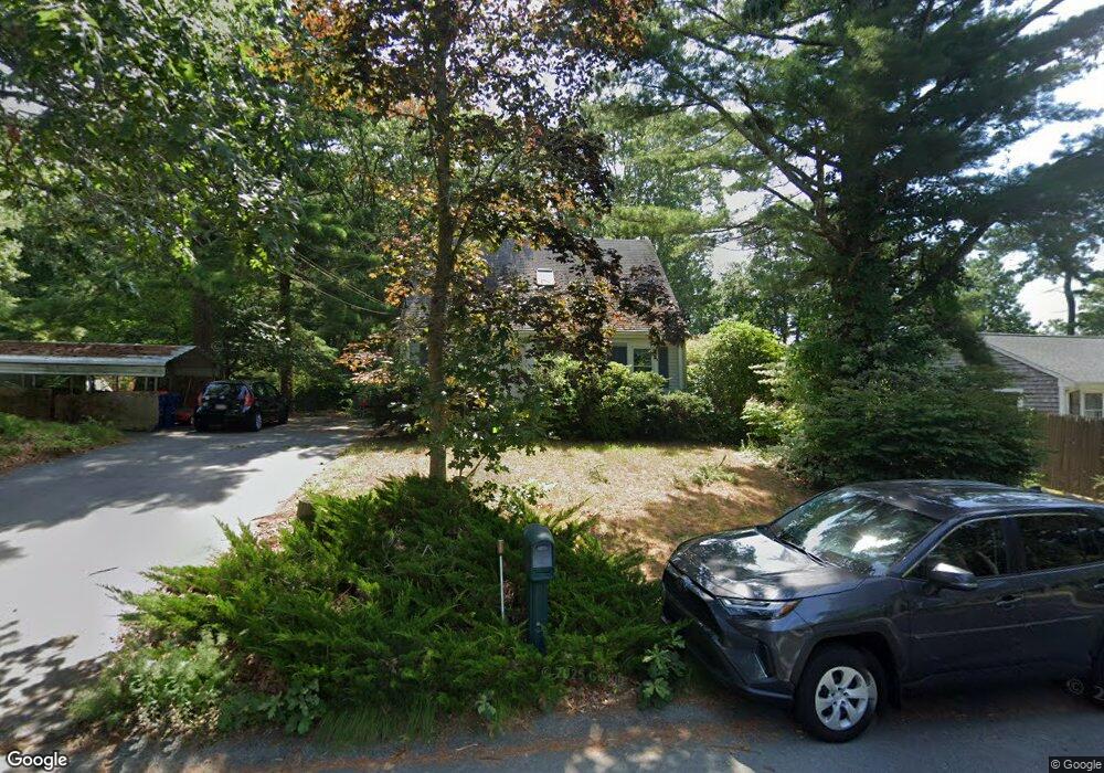
10 Linwood Ave Wareham, MA 02571
Estimated Value: $392,000 - $463,000
3
Beds
1
Bath
1,019
Sq Ft
$419/Sq Ft
Est. Value
About This Home
This home is located at 10 Linwood Ave, Wareham, MA 02571 and is currently estimated at $426,708, approximately $418 per square foot. 10 Linwood Ave is a home located in Plymouth County.
Ownership History
Date
Name
Owned For
Owner Type
Purchase Details
Closed on
May 28, 2021
Sold by
Shivvers Marjorie E
Bought by
Gostylo Anna
Current Estimated Value
Home Financials for this Owner
Home Financials are based on the most recent Mortgage that was taken out on this home.
Original Mortgage
$264,000
Outstanding Balance
$238,360
Interest Rate
3%
Mortgage Type
Purchase Money Mortgage
Estimated Equity
$188,348
Create a Home Valuation Report for This Property
The Home Valuation Report is an in-depth analysis detailing your home's value as well as a comparison with similar homes in the area
Purchase History
| Date | Buyer | Sale Price | Title Company |
|---|---|---|---|
| Gostylo Anna | $330,000 | None Available | |
| Gostylo Anna | $330,000 | None Available |
Source: Public Records
Mortgage History
| Date | Status | Borrower | Loan Amount |
|---|---|---|---|
| Open | Gostylo Anna | $264,000 | |
| Closed | Gostylo Anna | $264,000 |
Source: Public Records
Tax History Compared to Growth
Tax History
| Year | Tax Paid | Tax Assessment Tax Assessment Total Assessment is a certain percentage of the fair market value that is determined by local assessors to be the total taxable value of land and additions on the property. | Land | Improvement |
|---|---|---|---|---|
| 2025 | $3,417 | $327,900 | $118,000 | $209,900 |
| 2024 | $3,500 | $311,700 | $91,400 | $220,300 |
| 2023 | $3,107 | $276,800 | $83,100 | $193,700 |
| 2022 | $3,107 | $235,700 | $83,100 | $152,600 |
| 2021 | $3,072 | $228,400 | $83,100 | $145,300 |
| 2020 | $2,932 | $221,100 | $83,100 | $138,000 |
| 2019 | $2,530 | $190,400 | $70,500 | $119,900 |
| 2018 | $2,354 | $172,700 | $70,500 | $102,200 |
| 2017 | $2,264 | $168,300 | $70,500 | $97,800 |
| 2016 | $2,146 | $158,600 | $67,500 | $91,100 |
| 2015 | $2,073 | $158,600 | $67,500 | $91,100 |
| 2014 | $2,073 | $161,300 | $64,100 | $97,200 |
Source: Public Records
Map
Nearby Homes
- 12 Linwood Ave
- 6 Gilbert Way
- 156 Sandwich Rd
- 2838 Cranberry Hwy
- 124 Minot Ave Unit 1
- 7 Knowles Ave
- 1 Chapel Ln
- 9 Old Glen Charlie Rd
- 7 Cranberry Ln
- 4 Penny Ln
- 2697 Cranberry Hwy Unit 28
- 2711 Cranberry Hwy
- 13 Cherry St
- 1 Gibbs Ball Park Rd
- 35 Willard St
- 10 Oak St
- 6 Agawam Dr
- 10 Pine Lake Dr
- 2900 Cranberry Hwy Unit 14
- 2900 Cranberry Hwy Unit 42
- 6 Linwood Ave
- 9 Linwood Ave
- 11 Linwood Ave Unit D
- 11 Linwood Ave Unit C
- 11 Linwood Ave Unit B
- 11 Linwood Ave Unit A
- 11 Linwood Ave
- 7 Linwood Ave
- 15 Ladd Ave
- 5 Linwood Ave
- 13 Ladd Ave
- 16 Linwood Ave
- 4 Linwood Ave
- 13 Linwood Ave
- 15 Linwood Ave
- 12 Ladd Ave
- 8 Ladd Ave
- 18 Linwood Ave
- 17 Linwood Ave
- 211 Sandwich Rd