10 Lynne Rd Wareham, MA 02571
Wareham Center NeighborhoodEstimated Value: $599,375 - $683,000
2
Beds
2
Baths
1,660
Sq Ft
$390/Sq Ft
Est. Value
About This Home
This home is located at 10 Lynne Rd, Wareham, MA 02571 and is currently estimated at $647,594, approximately $390 per square foot. 10 Lynne Rd is a home located in Plymouth County with nearby schools including Tabor Academy.
Ownership History
Date
Name
Owned For
Owner Type
Purchase Details
Closed on
Jun 28, 2007
Sold by
Fritschmann Robert D
Bought by
Leal Manuel A and Leal Maria C
Current Estimated Value
Home Financials for this Owner
Home Financials are based on the most recent Mortgage that was taken out on this home.
Original Mortgage
$288,000
Outstanding Balance
$177,550
Interest Rate
6.24%
Mortgage Type
Purchase Money Mortgage
Estimated Equity
$470,044
Purchase Details
Closed on
Oct 22, 2004
Sold by
Porcaro Llc and Bachant William P
Bought by
Fritschmann Robert D
Home Financials for this Owner
Home Financials are based on the most recent Mortgage that was taken out on this home.
Original Mortgage
$125,000
Interest Rate
5.85%
Mortgage Type
Purchase Money Mortgage
Create a Home Valuation Report for This Property
The Home Valuation Report is an in-depth analysis detailing your home's value as well as a comparison with similar homes in the area
Home Values in the Area
Average Home Value in this Area
Purchase History
| Date | Buyer | Sale Price | Title Company |
|---|---|---|---|
| Leal Manuel A | $360,000 | -- | |
| Leal Manuel A | $360,000 | -- | |
| Fritschmann Robert D | $347,850 | -- | |
| Fritschmann Robert D | $347,850 | -- |
Source: Public Records
Mortgage History
| Date | Status | Borrower | Loan Amount |
|---|---|---|---|
| Open | Fritschmann Robert D | $288,000 | |
| Closed | Fritschmann Robert D | $288,000 | |
| Previous Owner | Fritschmann Robert D | $270,000 | |
| Previous Owner | Fritschmann Robert D | $125,000 |
Source: Public Records
Tax History
| Year | Tax Paid | Tax Assessment Tax Assessment Total Assessment is a certain percentage of the fair market value that is determined by local assessors to be the total taxable value of land and additions on the property. | Land | Improvement |
|---|---|---|---|---|
| 2025 | $5,559 | $533,500 | $120,900 | $412,600 |
| 2024 | $5,853 | $521,200 | $94,500 | $426,700 |
| 2023 | $5,148 | $465,700 | $85,900 | $379,800 |
| 2022 | $5,148 | $390,600 | $85,900 | $304,700 |
| 2021 | $5,064 | $376,500 | $85,900 | $290,600 |
| 2020 | $4,682 | $353,100 | $85,900 | $267,200 |
| 2019 | $4,699 | $353,600 | $82,700 | $270,900 |
| 2018 | $4,358 | $319,700 | $82,700 | $237,000 |
| 2017 | $4,036 | $300,100 | $82,700 | $217,400 |
| 2016 | $3,622 | $267,700 | $80,100 | $187,600 |
| 2015 | $3,499 | $267,700 | $80,100 | $187,600 |
| 2014 | $3,265 | $254,100 | $80,100 | $174,000 |
Source: Public Records
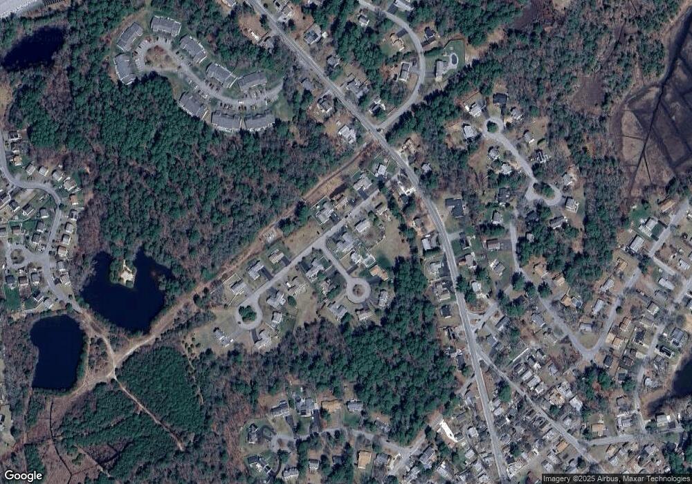
Map
Nearby Homes
- 15 Broadmarsh Ave
- 20 Grant St
- 6 Allen Ave
- 43 Shore Ave
- 21 Bayview St
- 58 Shady Ln
- 10 Barnes St
- 233 Marion Rd
- 1 Nimrod Way
- 6 Bourne Terrace
- 10 Longmeadow Dr
- 9 Woodville Way
- 0 Cromesett Rd (Off) Unit 73385395
- 14 Briarwood Dr
- 4 Roosevelt St
- 12 Taft St
- 437 Main St
- 10 Oak St
- 12 Oakdale St
- 110 Mayflower Ridge Dr
Your Personal Tour Guide
Ask me questions while you tour the home.