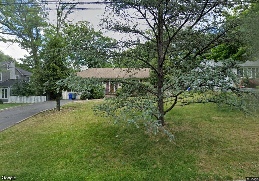
10 MacOpin Dr Livingston, NJ 07039
Estimated Value: $963,000 - $1,046,000
3
Beds
2
Baths
1,471
Sq Ft
$681/Sq Ft
Est. Value
About This Home
This home is located at 10 MacOpin Dr, Livingston, NJ 07039 and is currently estimated at $1,001,735, approximately $680 per square foot. 10 MacOpin Dr is a home located in Essex County with nearby schools including Livingston Sr High School, Aquinas Academy, and Joseph Kushner Hebrew Academy.
Ownership History
Date
Name
Owned For
Owner Type
Purchase Details
Closed on
Sep 21, 2010
Sold by
Crisafulli Catherine
Bought by
Zheng Jianjun and Yang Mei
Current Estimated Value
Home Financials for this Owner
Home Financials are based on the most recent Mortgage that was taken out on this home.
Original Mortgage
$350,400
Outstanding Balance
$231,849
Interest Rate
4.48%
Mortgage Type
New Conventional
Estimated Equity
$769,886
Create a Home Valuation Report for This Property
The Home Valuation Report is an in-depth analysis detailing your home's value as well as a comparison with similar homes in the area
Home Values in the Area
Average Home Value in this Area
Purchase History
| Date | Buyer | Sale Price | Title Company |
|---|---|---|---|
| Zheng Jianjun | $438,000 | Chicago Title Insurance Co |
Source: Public Records
Mortgage History
| Date | Status | Borrower | Loan Amount |
|---|---|---|---|
| Open | Zheng Jianjun | $350,400 |
Source: Public Records
Tax History Compared to Growth
Tax History
| Year | Tax Paid | Tax Assessment Tax Assessment Total Assessment is a certain percentage of the fair market value that is determined by local assessors to be the total taxable value of land and additions on the property. | Land | Improvement |
|---|---|---|---|---|
| 2025 | $12,064 | $508,600 | $313,100 | $195,500 |
| 2024 | $12,064 | $508,600 | $313,100 | $195,500 |
| 2022 | $11,866 | $508,600 | $313,100 | $195,500 |
| 2021 | $11,769 | $508,600 | $313,100 | $195,500 |
| 2020 | $11,550 | $508,600 | $313,100 | $195,500 |
| 2019 | $10,511 | $401,800 | $273,300 | $128,500 |
| 2018 | $10,370 | $401,800 | $273,300 | $128,500 |
| 2017 | $10,234 | $401,800 | $273,300 | $128,500 |
| 2016 | $10,045 | $401,800 | $273,300 | $128,500 |
| 2015 | $9,896 | $401,800 | $273,300 | $128,500 |
| 2014 | $9,575 | $401,800 | $273,300 | $128,500 |
Source: Public Records
Map
Nearby Homes
- 94 W Cedar St
- 35 Amelia Ave
- 9 Spalding Dr
- 35 Grand Terrace
- 74 Hillside Terrace
- 21 Highland Dr
- 15 Highland Dr
- 22 Brookside Place
- 82 W Oakwood Ave
- 106 Falcon Rd
- 26 Bennington Rd
- 28 Lexington Dr
- 94 E Cedar St
- 63 N Livingston Ave
- 23 Winans Rd
- 61 Hazel Ave
- 224 W Mount Pleasant Ave
- 25 Midway Dr
- 27 Mounthaven Dr
- 14 Burnet Hill Rd