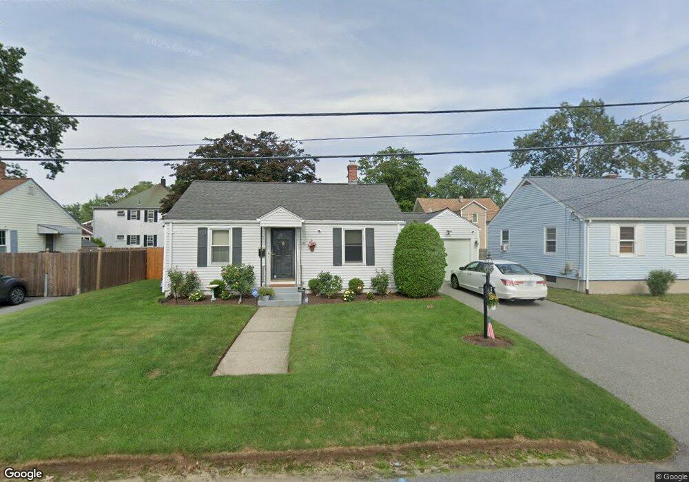
10 Majestic Ave Warwick, RI 02888
Norwood NeighborhoodEstimated Value: $301,000 - $333,000
2
Beds
1
Bath
990
Sq Ft
$317/Sq Ft
Est. Value
About This Home
This home is located at 10 Majestic Ave, Warwick, RI 02888 and is currently estimated at $313,649, approximately $316 per square foot. 10 Majestic Ave is a home located in Kent County with nearby schools including St. Peter School and Saint Paul School.
Ownership History
Date
Name
Owned For
Owner Type
Purchase Details
Closed on
Jun 3, 2025
Sold by
Howe Joanne J
Bought by
Joanne J Howe Ft and Howe
Current Estimated Value
Purchase Details
Closed on
Dec 22, 2003
Sold by
Grilli Dennis and Grilli Raymond
Bought by
Howe Joanne
Home Financials for this Owner
Home Financials are based on the most recent Mortgage that was taken out on this home.
Original Mortgage
$142,759
Interest Rate
5.96%
Mortgage Type
Purchase Money Mortgage
Create a Home Valuation Report for This Property
The Home Valuation Report is an in-depth analysis detailing your home's value as well as a comparison with similar homes in the area
Home Values in the Area
Average Home Value in this Area
Purchase History
| Date | Buyer | Sale Price | Title Company |
|---|---|---|---|
| Joanne J Howe Ft | -- | -- | |
| Joanne J Howe Ft | -- | -- | |
| Howe Joanne | $145,000 | -- | |
| Howe Joanne | $145,000 | -- |
Source: Public Records
Mortgage History
| Date | Status | Borrower | Loan Amount |
|---|---|---|---|
| Previous Owner | Howe Joanne | $128,000 | |
| Previous Owner | Howe Joanne | $142,759 |
Source: Public Records
Tax History Compared to Growth
Tax History
| Year | Tax Paid | Tax Assessment Tax Assessment Total Assessment is a certain percentage of the fair market value that is determined by local assessors to be the total taxable value of land and additions on the property. | Land | Improvement |
|---|---|---|---|---|
| 2025 | $3,553 | $279,800 | $98,400 | $181,400 |
| 2024 | $2,962 | $204,700 | $85,000 | $119,700 |
| 2023 | $2,905 | $204,700 | $85,000 | $119,700 |
| 2022 | $2,692 | $143,700 | $54,200 | $89,500 |
| 2021 | $2,692 | $143,700 | $54,200 | $89,500 |
| 2020 | $2,692 | $143,700 | $54,200 | $89,500 |
| 2019 | $2,692 | $143,700 | $54,200 | $89,500 |
| 2018 | $2,242 | $107,800 | $53,800 | $54,000 |
| 2017 | $2,182 | $107,800 | $53,800 | $54,000 |
| 2016 | $2,182 | $107,800 | $53,800 | $54,000 |
| 2015 | $2,216 | $106,800 | $52,400 | $54,400 |
| 2014 | $2,142 | $106,800 | $52,400 | $54,400 |
| 2013 | $2,114 | $106,800 | $52,400 | $54,400 |
Source: Public Records
Map
Nearby Homes
- 447 Harrington Ave
- 35 Welfare Ave
- 27 Frederick St
- 1052 Post Rd
- 341 Sumner Ave
- 1153 Post Rd
- 63 Massasoit Dr
- 396 Elm St
- 35 Manson Ave
- 120 Gould Ave
- 126 Fairfax Dr
- 110 Heath Ave
- 158 Underwood Ave
- 208 Negansett Ave
- 93 Grotto Ave
- 150 Riverside Ave
- 110 Pilgrim Pkwy Unit 8
- 15 Spruce Ave
- 169 Partition St
- 63 Benbridge Ave
- 6 Majestic Ave
- 363 Harrington Ave
- 351 Harrington Ave
- 7 Majestic Ave
- 17 Majestic Ave
- 343 Harrington Ave
- 371 Harrington Ave
- 26 Majestic Ave
- 360 Harrington Ave
- 23 Edgemont St
- 32 Edgemont St
- 362 Harrington Ave
- 364 Harrington Ave
- 144 Welfare Ave
- 34 Majestic Ave
- 335 Harrington Ave
- 342 Harrington Ave
- 33 Majestic Ave
- 154 Welfare Ave
- 374 Harrington Ave