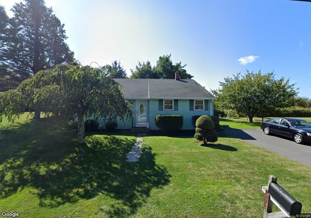
10 Manor Dr Narragansett, RI 02882
Estimated Value: $676,000 - $841,000
3
Beds
1
Bath
1,100
Sq Ft
$687/Sq Ft
Est. Value
About This Home
This home is located at 10 Manor Dr, Narragansett, RI 02882 and is currently estimated at $755,250, approximately $686 per square foot. 10 Manor Dr is a home located in Washington County with nearby schools including Narragansett Elementary School, Narragansett Pier Middle School, and Narragansett High School.
Ownership History
Date
Name
Owned For
Owner Type
Purchase Details
Closed on
Aug 9, 2024
Sold by
Petrus John
Bought by
John Petrus Jr T and John Jr
Current Estimated Value
Purchase Details
Closed on
Aug 11, 2009
Sold by
Petrus Antonetta S
Bought by
Petrus John
Create a Home Valuation Report for This Property
The Home Valuation Report is an in-depth analysis detailing your home's value as well as a comparison with similar homes in the area
Home Values in the Area
Average Home Value in this Area
Purchase History
| Date | Buyer | Sale Price | Title Company |
|---|---|---|---|
| John Petrus Jr T | -- | None Available | |
| Petrus John | -- | -- | |
| Petrus John | -- | -- |
Source: Public Records
Mortgage History
| Date | Status | Borrower | Loan Amount |
|---|---|---|---|
| Previous Owner | Petrus John | $50,000 |
Source: Public Records
Tax History Compared to Growth
Tax History
| Year | Tax Paid | Tax Assessment Tax Assessment Total Assessment is a certain percentage of the fair market value that is determined by local assessors to be the total taxable value of land and additions on the property. | Land | Improvement |
|---|---|---|---|---|
| 2025 | $3,664 | $539,600 | $282,500 | $257,100 |
| 2024 | $3,534 | $539,600 | $282,500 | $257,100 |
| 2023 | $3,324 | $357,000 | $182,300 | $174,700 |
| 2022 | $3,213 | $357,000 | $182,300 | $174,700 |
| 2021 | $3,163 | $357,000 | $182,300 | $174,700 |
| 2020 | $3,127 | $298,400 | $156,000 | $142,400 |
| 2019 | $3,053 | $298,400 | $156,000 | $142,400 |
| 2018 | $2,969 | $298,400 | $156,000 | $142,400 |
| 2017 | $2,582 | $244,500 | $138,200 | $106,300 |
| 2016 | $2,465 | $244,500 | $138,200 | $106,300 |
| 2015 | $2,430 | $244,500 | $138,200 | $106,300 |
| 2014 | $2,455 | $244,500 | $138,200 | $106,300 |
Source: Public Records
Map
Nearby Homes
- 0 Point Judith Rd
- 0 Houston Ave
- 110 Houston Ave
- 124 Houston Ave
- 8 Pocono Rd
- 1044 Ocean Rd
- 1046 Ocean Rd
- 1125 Point Judith Rd Unit B6
- 31 E Pond Rd
- 45 Durkin Dr
- 8 Knowlesway
- 89 Sand Hill Cove Rd
- 17 Goose Island Rd
- 100 Chestnut Ave
- 25 Scallop Shell Rd
- 129 Sand Hill Cove Rd
- 20 Marine Dr
- 64 Burnside Ave
- 271 Great Island Rd
- 6 Lane 4