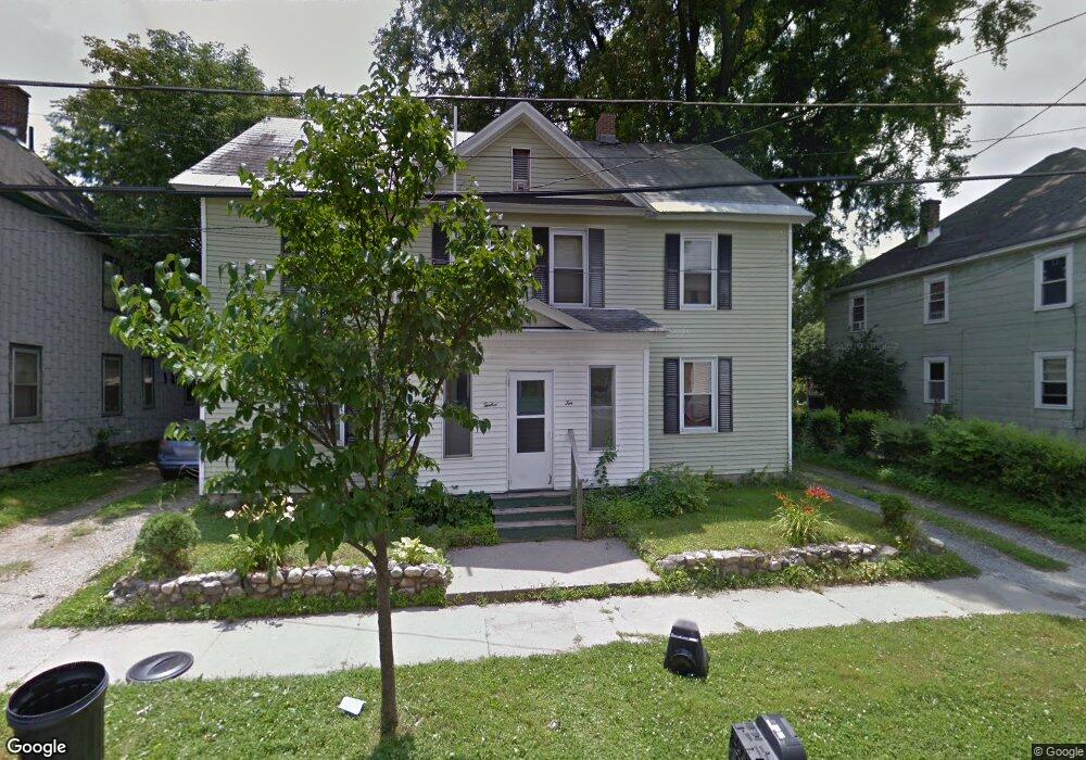
10 Maple St Pittsfield, MA 01201
Estimated Value: $174,000 - $232,000
6
Beds
2
Baths
2,542
Sq Ft
$82/Sq Ft
Est. Value
About This Home
This home is located at 10 Maple St, Pittsfield, MA 01201 and is currently estimated at $209,664, approximately $82 per square foot. 10 Maple St is a home located in Berkshire County with nearby schools including Morningside Community School, Theodore Herberg Middle School, and Pittsfield High School.
Ownership History
Date
Name
Owned For
Owner Type
Purchase Details
Closed on
Jun 15, 1999
Sold by
Welch Doreen M and Ostaski Victoria I
Bought by
Marauszwski Jamie M
Current Estimated Value
Home Financials for this Owner
Home Financials are based on the most recent Mortgage that was taken out on this home.
Original Mortgage
$37,500
Outstanding Balance
$9,768
Interest Rate
6.9%
Mortgage Type
Purchase Money Mortgage
Estimated Equity
$199,896
Create a Home Valuation Report for This Property
The Home Valuation Report is an in-depth analysis detailing your home's value as well as a comparison with similar homes in the area
Home Values in the Area
Average Home Value in this Area
Purchase History
| Date | Buyer | Sale Price | Title Company |
|---|---|---|---|
| Marauszwski Jamie M | $50,000 | -- |
Source: Public Records
Mortgage History
| Date | Status | Borrower | Loan Amount |
|---|---|---|---|
| Open | Marauszwski Jamie M | $37,500 |
Source: Public Records
Tax History
| Year | Tax Paid | Tax Assessment Tax Assessment Total Assessment is a certain percentage of the fair market value that is determined by local assessors to be the total taxable value of land and additions on the property. | Land | Improvement |
|---|---|---|---|---|
| 2025 | $2,617 | $145,900 | $30,700 | $115,200 |
| 2024 | $2,262 | $122,600 | $30,700 | $91,900 |
| 2023 | $2,098 | $114,500 | $30,700 | $83,800 |
| 2022 | $1,990 | $107,200 | $28,400 | $78,800 |
| 2021 | $1,998 | $103,800 | $28,400 | $75,400 |
| 2020 | $1,997 | $101,300 | $28,400 | $72,900 |
| 2019 | $2,115 | $108,900 | $28,400 | $80,500 |
| 2018 | $2,105 | $105,200 | $28,400 | $76,800 |
| 2017 | $2,104 | $107,200 | $26,500 | $80,700 |
| 2016 | $2,037 | $108,600 | $26,500 | $82,100 |
| 2015 | $1,961 | $108,600 | $26,500 | $82,100 |
Source: Public Records
Map
Nearby Homes
Your Personal Tour Guide
Ask me questions while you tour the home.