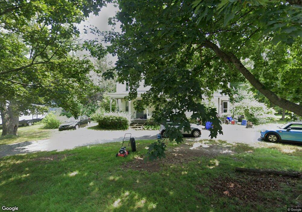
10 Maple St Shirley, MA 01464
Estimated Value: $491,308 - $646,000
4
Beds
2
Baths
2,664
Sq Ft
$213/Sq Ft
Est. Value
About This Home
This home is located at 10 Maple St, Shirley, MA 01464 and is currently estimated at $567,327, approximately $212 per square foot. 10 Maple St is a home located in Middlesex County with nearby schools including Page Hilltop School, Lura A. White Elementary School, and Ayer Shirley Regional Middle School.
Ownership History
Date
Name
Owned For
Owner Type
Purchase Details
Closed on
Jun 7, 1988
Sold by
Hyde Ernest H
Bought by
Boynton David A
Current Estimated Value
Home Financials for this Owner
Home Financials are based on the most recent Mortgage that was taken out on this home.
Original Mortgage
$126,800
Interest Rate
10.24%
Mortgage Type
Purchase Money Mortgage
Create a Home Valuation Report for This Property
The Home Valuation Report is an in-depth analysis detailing your home's value as well as a comparison with similar homes in the area
Home Values in the Area
Average Home Value in this Area
Purchase History
| Date | Buyer | Sale Price | Title Company |
|---|---|---|---|
| Boynton David A | $158,500 | -- |
Source: Public Records
Mortgage History
| Date | Status | Borrower | Loan Amount |
|---|---|---|---|
| Closed | Boynton David A | $119,700 | |
| Closed | Boynton David A | $40,000 | |
| Closed | Boynton David A | $126,800 |
Source: Public Records
Tax History Compared to Growth
Tax History
| Year | Tax Paid | Tax Assessment Tax Assessment Total Assessment is a certain percentage of the fair market value that is determined by local assessors to be the total taxable value of land and additions on the property. | Land | Improvement |
|---|---|---|---|---|
| 2025 | $51 | $392,100 | $131,000 | $261,100 |
| 2024 | $4,812 | $354,600 | $111,700 | $242,900 |
| 2023 | $4,643 | $327,400 | $111,700 | $215,700 |
| 2022 | $4,783 | $309,000 | $107,900 | $201,100 |
| 2021 | $4,756 | $287,700 | $96,300 | $191,400 |
| 2020 | $4,519 | $280,500 | $96,300 | $184,200 |
| 2019 | $4,422 | $275,000 | $96,300 | $178,700 |
| 2018 | $4,335 | $264,000 | $92,500 | $171,500 |
| 2017 | $4,234 | $256,300 | $84,800 | $171,500 |
| 2016 | $3,716 | $225,100 | $86,300 | $138,800 |
| 2015 | $3,616 | $208,900 | $80,900 | $128,000 |
Source: Public Records
Map
Nearby Homes
- 3 Mill St
- 25 Front St
- 30 Ayer Rd
- 40 Ayer Rd
- 3 Ambrose Way Unit 3
- 6 Ambrose Way Unit 3
- 9 Ambrose Way Unit 9
- 1 Ambrose Way Unit 1
- 7 Ambrose Way Unit 5
- 4 Ambrose Way Unit 4
- 5 Ambrose Way Unit 5
- 13 Ambrose Way Unit 13
- 0 Windsor Rd
- 45 Clark Rd
- 83 Clark Rd Unit 41
- 95 Old Union Turnpike
- 659 Reservoir Rd
- 45 Spring St
- 601 Flat Hill Rd
- 7 Lawson Ave
- 8 Maple St
- 4 Maple St
- 5 Lancaster Rd
- 5 Lancaster Rd Unit 2
- 11 Lancaster Rd
- 3 Lancaster Rd
- 3 Lancaster Rd Unit 2
- 3 Lancaster Rd Unit 1
- 7 Maple St
- 11 Maple St
- 11 Maple St Unit 3
- 11 Maple St Unit 2
- 11 Maple St Unit 1
- 11 Maple St Unit 11
- 12 Maple St
- 12 Maple St Unit 2
- 12 Maple St Unit 1
- 6 Lancaster Rd
- 1 Lancaster Rd
- 1 Lancaster Rd Unit C