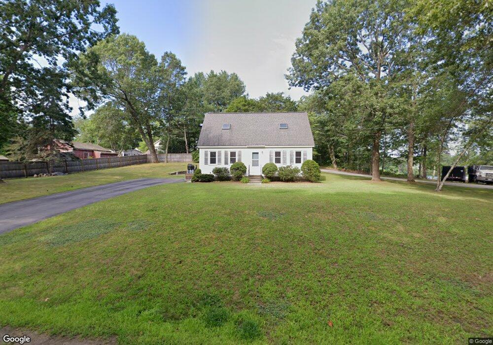
10 Marshmallow Path Hudson, NH 03051
Estimated Value: $464,000 - $548,000
3
Beds
2
Baths
1,428
Sq Ft
$356/Sq Ft
Est. Value
About This Home
This home is located at 10 Marshmallow Path, Hudson, NH 03051 and is currently estimated at $507,979, approximately $355 per square foot. 10 Marshmallow Path is a home located in Hillsborough County with nearby schools including Nottingham West Elementary School, Hudson Memorial School, and Alvirne High School.
Ownership History
Date
Name
Owned For
Owner Type
Purchase Details
Closed on
Sep 18, 1998
Sold by
Frost Oscar L and Frost Elizabeth L
Bought by
Gaudette William J
Current Estimated Value
Home Financials for this Owner
Home Financials are based on the most recent Mortgage that was taken out on this home.
Original Mortgage
$127,300
Interest Rate
6.9%
Create a Home Valuation Report for This Property
The Home Valuation Report is an in-depth analysis detailing your home's value as well as a comparison with similar homes in the area
Home Values in the Area
Average Home Value in this Area
Purchase History
| Date | Buyer | Sale Price | Title Company |
|---|---|---|---|
| Gaudette William J | $134,000 | -- |
Source: Public Records
Mortgage History
| Date | Status | Borrower | Loan Amount |
|---|---|---|---|
| Open | Gaudette William J | $109,000 | |
| Closed | Gaudette William J | $127,300 |
Source: Public Records
Tax History
| Year | Tax Paid | Tax Assessment Tax Assessment Total Assessment is a certain percentage of the fair market value that is determined by local assessors to be the total taxable value of land and additions on the property. | Land | Improvement |
|---|---|---|---|---|
| 2025 | $6,456 | $377,300 | $125,700 | $251,600 |
| 2024 | $6,207 | $377,300 | $125,700 | $251,600 |
| 2023 | $5,916 | $377,300 | $125,700 | $251,600 |
| 2022 | $5,543 | $377,300 | $125,700 | $251,600 |
| 2021 | $4,577 | $211,200 | $72,100 | $139,100 |
| 2020 | $4,513 | $211,200 | $72,100 | $139,100 |
| 2019 | $4,453 | $219,600 | $72,100 | $147,500 |
| 2018 | $4,414 | $219,600 | $72,100 | $147,500 |
| 2017 | $4,331 | $219,600 | $72,100 | $147,500 |
| 2016 | $4,491 | $204,400 | $72,100 | $132,300 |
| 2015 | $4,344 | $204,400 | $72,100 | $132,300 |
| 2014 | $4,258 | $204,400 | $72,100 | $132,300 |
| 2013 | $4,202 | $204,400 | $72,100 | $132,300 |
Source: Public Records
Map
Nearby Homes
- 169 Central St
- 73 Ferry St
- 151 Highland St
- 77 Barbara Ln
- 331 Fox Run Rd
- 30 B St Unit 9
- 39 Library St
- 37 Library St
- 1 Logan Ct
- 1 Lorraine St
- 25 Shadowbrook Dr Unit B
- 11 Canterberry Ct Unit A
- 41 Shadowbrook Dr Unit A
- 6 Tammy Ct Unit B
- 7 Rhona St
- 3 Riviera Rd
- 3 Riviera Rd Unit 3
- 18 Robin Dr
- 213 Abbott Farm Ln
- 6 Bear Path Ln
Your Personal Tour Guide
Ask me questions while you tour the home.