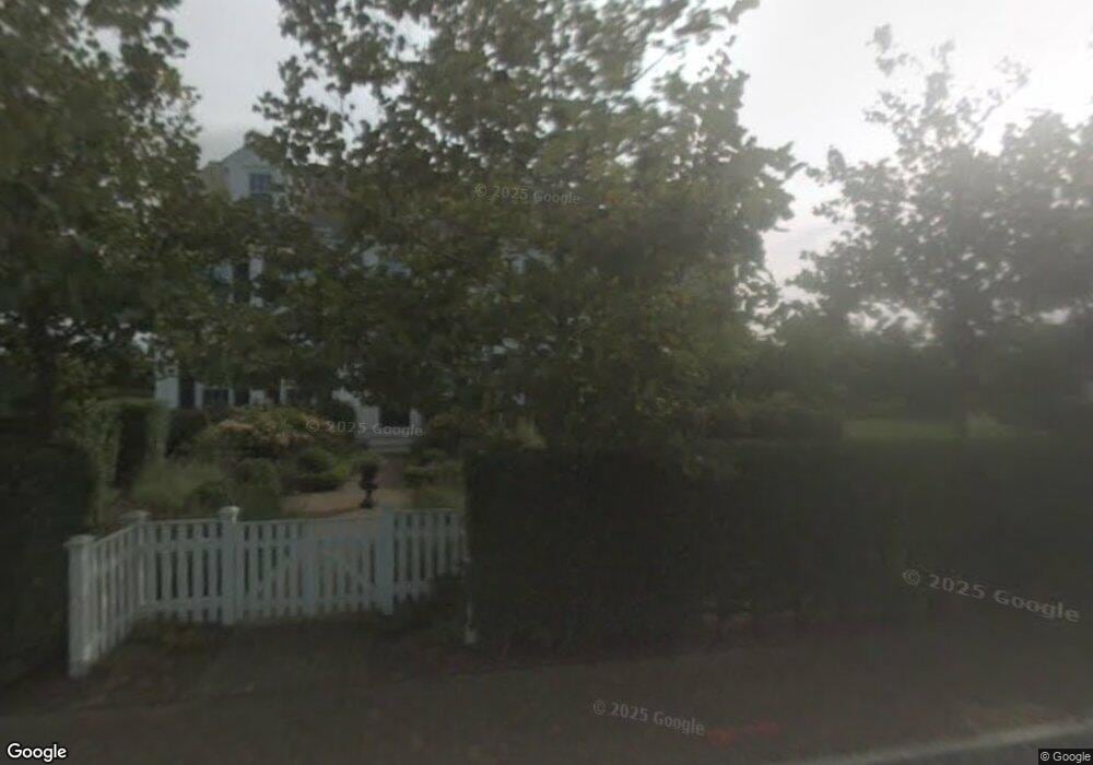
10 Mayhew Ln Nantucket, MA 02554
Estimated Value: $3,304,000 - $4,280,000
4
Beds
4
Baths
1,944
Sq Ft
$1,871/Sq Ft
Est. Value
About This Home
This home is located at 10 Mayhew Ln, Nantucket, MA 02554 and is currently estimated at $3,638,186, approximately $1,871 per square foot. 10 Mayhew Ln is a home located in Nantucket County with nearby schools including Nantucket Elementary School, Cyrus Peirce Middle School, and Nantucket High School.
Ownership History
Date
Name
Owned For
Owner Type
Purchase Details
Closed on
Aug 15, 2025
Sold by
Angelson Caryn and Topf William
Bought by
William B Topf Ret and Topf
Current Estimated Value
Purchase Details
Closed on
Jul 29, 2024
Sold by
J Michael Sutka Ret and Sutka
Bought by
Angelson Caryn and Topf William
Purchase Details
Closed on
Jan 9, 2015
Sold by
Smee Joanne C and Smee Timothy
Bought by
Sutka Michael and Sutka Tracy H
Purchase Details
Closed on
Aug 22, 2005
Sold by
Spaeth Liam A and Spaeth Lyn A
Bought by
Smee Joanne Collins and Smee Timothy
Home Financials for this Owner
Home Financials are based on the most recent Mortgage that was taken out on this home.
Original Mortgage
$1,400,000
Interest Rate
5.66%
Mortgage Type
Purchase Money Mortgage
Create a Home Valuation Report for This Property
The Home Valuation Report is an in-depth analysis detailing your home's value as well as a comparison with similar homes in the area
Home Values in the Area
Average Home Value in this Area
Purchase History
| Date | Buyer | Sale Price | Title Company |
|---|---|---|---|
| William B Topf Ret | -- | -- | |
| Angelson Caryn | $3,300,000 | None Available | |
| Angelson Caryn | $3,300,000 | None Available | |
| Sutka Michael | $1,750,000 | -- | |
| Smee Joanne Collins | $1,750,000 | -- | |
| Sutka Michael | $1,750,000 | -- | |
| Smee Joanne Collins | $1,750,000 | -- |
Source: Public Records
Mortgage History
| Date | Status | Borrower | Loan Amount |
|---|---|---|---|
| Previous Owner | Smee Joanne Collins | $1,400,000 | |
| Previous Owner | Smee Joanne Collins | $1,596,000 |
Source: Public Records
Tax History
| Year | Tax Paid | Tax Assessment Tax Assessment Total Assessment is a certain percentage of the fair market value that is determined by local assessors to be the total taxable value of land and additions on the property. | Land | Improvement |
|---|---|---|---|---|
| 2025 | $8,984 | $2,738,900 | $1,578,000 | $1,160,900 |
| 2024 | $8,562 | $2,735,500 | $1,578,000 | $1,157,500 |
| 2023 | $7,670 | $2,389,500 | $1,502,700 | $886,800 |
| 2022 | $7,397 | $1,977,900 | $1,314,800 | $663,100 |
| 2021 | $7,206 | $1,985,100 | $1,314,800 | $670,300 |
| 2020 | $6,131 | $1,777,100 | $1,064,400 | $712,700 |
| 2019 | $5,997 | $1,784,700 | $1,064,400 | $720,300 |
| 2018 | $6,073 | $1,720,500 | $1,064,400 | $656,100 |
| 2017 | $5,635 | $1,662,200 | $1,017,400 | $644,800 |
| 2016 | $4,857 | $1,445,600 | $860,900 | $584,700 |
| 2015 | $5,239 | $1,451,200 | $920,500 | $530,700 |
| 2014 | $5,457 | $1,451,200 | $920,500 | $530,700 |
Source: Public Records
Map
Nearby Homes
- 105 Low Beach Rd
- 31 Flintlock Rd
- 20 Lyons Ln
- 27 Longwood Dr
- 4 Berkley St
- 12 Ipswich St
- 40 Low Beach Rd
- 318 Milestone Rd
- 47 Morey Ln
- 8 Sconset Ave
- 44 Sankaty Rd
- 83 Baxter Rd
- 44 Madequecham Valley Rd
- 247 Polpis Rd
- 48 Madequecham Valley Rd
- 1 Airport Rd Unit Lot A
- 1 Airport Rd Unit Lot B
- 9 Nobadeer Way
- 4 Goldenrod Ct
- 10 Beach Grass Rd
- 10 Mayhew Ln
- 10 Mayhew Rd
- 28 Wanoma Way 10 Mayhew Rd
- 30 Wanoma Way
- 24 Wanoma Way
- 27 Bosworth Road 15 Lyford Road and 3 Wanoma Way
- 27 Wanoma Way
- 7 Mayhew Rd
- 7 Mayhew Ln
- 35 Wanoma Way
- 18 Nichols Rd
- 38 Wanoma Way
- 20 Wanoma Way
- 21 Wanoma Way
- 13 Wanoma Way
- 14 Nichols Rd
- 4 Mayhew Rd
- 19 Wanoma Way
- 40 Wanoma Way
- 12 Nichols Rd
Your Personal Tour Guide
Ask me questions while you tour the home.