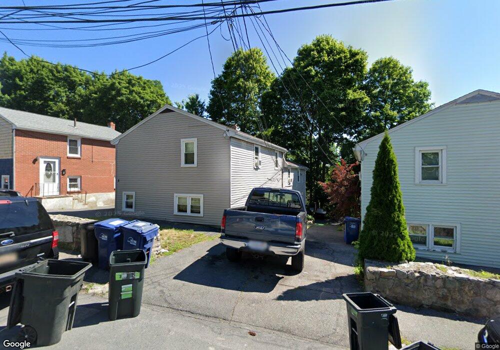
10 Maynard St Unit 12 Roslindale, MA 02131
Roslindale NeighborhoodEstimated Value: $858,000 - $931,000
6
Beds
4
Baths
2,392
Sq Ft
$373/Sq Ft
Est. Value
About This Home
This home is located at 10 Maynard St Unit 12, Roslindale, MA 02131 and is currently estimated at $893,305, approximately $373 per square foot. 10 Maynard St Unit 12 is a home located in Suffolk County with nearby schools including Brooke Charter School Roslindale, Sacred Heart STEM School, and St. Clare High School.
Ownership History
Date
Name
Owned For
Owner Type
Purchase Details
Closed on
Dec 5, 2013
Sold by
Michel Gisele
Bought by
Gisele Michel Irt and Michel
Current Estimated Value
Purchase Details
Closed on
Oct 28, 1994
Sold by
Fnma
Bought by
Michel Gisele
Home Financials for this Owner
Home Financials are based on the most recent Mortgage that was taken out on this home.
Original Mortgage
$100,700
Interest Rate
8.65%
Mortgage Type
Purchase Money Mortgage
Purchase Details
Closed on
Oct 6, 1993
Sold by
Omalley Sean P
Bought by
Shawmut Mtg Co
Create a Home Valuation Report for This Property
The Home Valuation Report is an in-depth analysis detailing your home's value as well as a comparison with similar homes in the area
Home Values in the Area
Average Home Value in this Area
Purchase History
| Date | Buyer | Sale Price | Title Company |
|---|---|---|---|
| Gisele Michel Irt | -- | -- | |
| Gisele Michel Irt | -- | -- | |
| Michel Gisele | $106,000 | -- | |
| Michel Gisele | $106,000 | -- | |
| Shawmut Mtg Co | $126,000 | -- | |
| Shawmut Mtg Co | $126,000 | -- |
Source: Public Records
Mortgage History
| Date | Status | Borrower | Loan Amount |
|---|---|---|---|
| Previous Owner | Shawmut Mtg Co | $130,000 | |
| Previous Owner | Shawmut Mtg Co | $100,700 |
Source: Public Records
Tax History
| Year | Tax Paid | Tax Assessment Tax Assessment Total Assessment is a certain percentage of the fair market value that is determined by local assessors to be the total taxable value of land and additions on the property. | Land | Improvement |
|---|---|---|---|---|
| 2025 | $8,103 | $699,700 | $209,700 | $490,000 |
| 2024 | $7,628 | $699,800 | $203,300 | $496,500 |
| 2023 | $7,226 | $672,800 | $195,500 | $477,300 |
| 2022 | $6,654 | $611,600 | $177,700 | $433,900 |
| 2021 | $6,398 | $599,600 | $174,200 | $425,400 |
| 2020 | $5,203 | $492,700 | $156,600 | $336,100 |
| 2019 | $4,898 | $464,700 | $126,500 | $338,200 |
| 2018 | $4,595 | $438,500 | $126,500 | $312,000 |
| 2017 | $4,551 | $429,700 | $126,500 | $303,200 |
| 2016 | $4,377 | $397,900 | $126,500 | $271,400 |
| 2015 | -- | $319,600 | $116,900 | $202,700 |
| 2014 | -- | $285,300 | $116,900 | $168,400 |
Source: Public Records
Map
Nearby Homes
- 419 Poplar St
- 76 Dale St
- 49 Dale St
- 103 Whitford St
- 766 Hyde Park Ave
- 15 Highfield Rd
- 6 Ramsdell Ave Unit 4
- 800 Hyde Park Ave Unit 3
- 16 Hilburn Place
- 175 Clare Ave Unit B3
- 624 Hyde Park Ave Unit D4
- 624 Hyde Park Ave Unit C3
- 4 Rowe Ct
- 142 Metropolitan Ave Unit 2
- 142 Metropolitan Ave Unit 1
- 142 Metropolitan Ave
- 8 Hillview Ave
- 86 Cornell St Unit 2
- 89 Glendower Rd
- 498 Beech St
- 88 Maynard St
- 8 Maynard St Unit 8A
- 8 Maynard St Unit 1
- 14 Maynard St Unit 16
- 6 Maynard St Unit 6A
- 6 Maynard St Unit 1
- 66A Maynard St
- 6A Maynard St Unit A
- 20 Maynard St
- 4 Maynard St Unit 4A
- 4 Maynard St Unit A
- 11 Maynard St
- 15 Maynard St
- 22-24 Maynard St
- 22 Maynard St Unit 24
- 2 Maynard St Unit 2A
- 2A Maynard St
- 408 Poplar St
- 19 Maynard St
- 26 Maynard St Unit 28
Your Personal Tour Guide
Ask me questions while you tour the home.