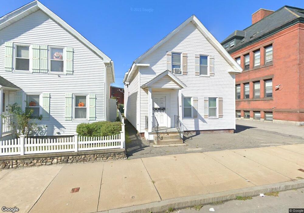
10 Mckeon Rd Worcester, MA 01610
South Worcester NeighborhoodEstimated Value: $386,667 - $562,000
4
Beds
2
Baths
1,860
Sq Ft
$252/Sq Ft
Est. Value
About This Home
This home is located at 10 Mckeon Rd, Worcester, MA 01610 and is currently estimated at $468,167, approximately $251 per square foot. 10 Mckeon Rd is a home located in Worcester County with nearby schools including Jacob Hiatt Magnet School, Chandler Magnet, and Heard Street Discovery Academy.
Ownership History
Date
Name
Owned For
Owner Type
Purchase Details
Closed on
May 14, 2021
Sold by
Ewf Rt and Foster
Bought by
Foster Ernest W
Current Estimated Value
Home Financials for this Owner
Home Financials are based on the most recent Mortgage that was taken out on this home.
Original Mortgage
$180,000
Outstanding Balance
$162,430
Interest Rate
3.1%
Mortgage Type
New Conventional
Estimated Equity
$305,737
Create a Home Valuation Report for This Property
The Home Valuation Report is an in-depth analysis detailing your home's value as well as a comparison with similar homes in the area
Home Values in the Area
Average Home Value in this Area
Purchase History
| Date | Buyer | Sale Price | Title Company |
|---|---|---|---|
| Foster Ernest W | -- | None Available | |
| Foster Ernest W | -- | None Available |
Source: Public Records
Mortgage History
| Date | Status | Borrower | Loan Amount |
|---|---|---|---|
| Open | Foster Ernest W | $180,000 | |
| Closed | Foster Ernest W | $180,000 |
Source: Public Records
Tax History
| Year | Tax Paid | Tax Assessment Tax Assessment Total Assessment is a certain percentage of the fair market value that is determined by local assessors to be the total taxable value of land and additions on the property. | Land | Improvement |
|---|---|---|---|---|
| 2025 | $4,324 | $327,800 | $76,400 | $251,400 |
| 2024 | $4,143 | $301,300 | $76,400 | $224,900 |
| 2023 | $3,869 | $269,800 | $66,400 | $203,400 |
| 2022 | $3,729 | $245,200 | $53,200 | $192,000 |
| 2021 | $3,256 | $200,000 | $42,500 | $157,500 |
| 2020 | $3,045 | $179,100 | $42,200 | $136,900 |
| 2019 | $3,123 | $173,500 | $36,900 | $136,600 |
| 2018 | $3,050 | $161,300 | $36,900 | $124,400 |
| 2017 | $2,885 | $150,100 | $36,900 | $113,200 |
| 2016 | $2,834 | $137,500 | $26,800 | $110,700 |
| 2015 | $2,760 | $137,500 | $26,800 | $110,700 |
| 2014 | $2,687 | $137,500 | $26,800 | $110,700 |
Source: Public Records
Map
Nearby Homes
- 20 Washburn St
- 607 Cambridge St Unit 4
- 407 Cambridge St Unit 1
- 83 Canterbury St
- 172 Perry Ave Unit 1A
- 172 Perry Ave Unit 2B
- 3A Gediminas St
- 154 Perry Ave
- 26 Maxwell St
- 93 Fairfax Rd
- 200 Beacon St
- 17 Euclid Ave
- 103 Illinois St
- 5 Ripley Place
- 14 Hancock St
- 13 Sigel St
- 195 Millbury St
- 9 1/2 Ames St Unit 2
- 69 Oread St
- 52 Richards St
- 12 Mckeon Rd
- 14 Mckeon Rd
- 16 Mckeon Rd
- 700 Southbridge St
- 524 Cambridge St
- 5 S Cambridge St
- 3 S Cambridge St
- 513 Cambridge St
- 169-175-2 Cambdridge St
- 521 Cambridge St
- 521 Cambridge St Unit 2
- 523 Cambridge St
- 523 Cambridge St Unit 1
- 481 Cambridge St
- 481 Cambridge St Unit 2
- 481 Cambridge St Unit 1
- 533 Cambridge St
- 533 Cambridge St
- 550 Cambridge St
- 1 A/B Homestead Ave
Your Personal Tour Guide
Ask me questions while you tour the home.