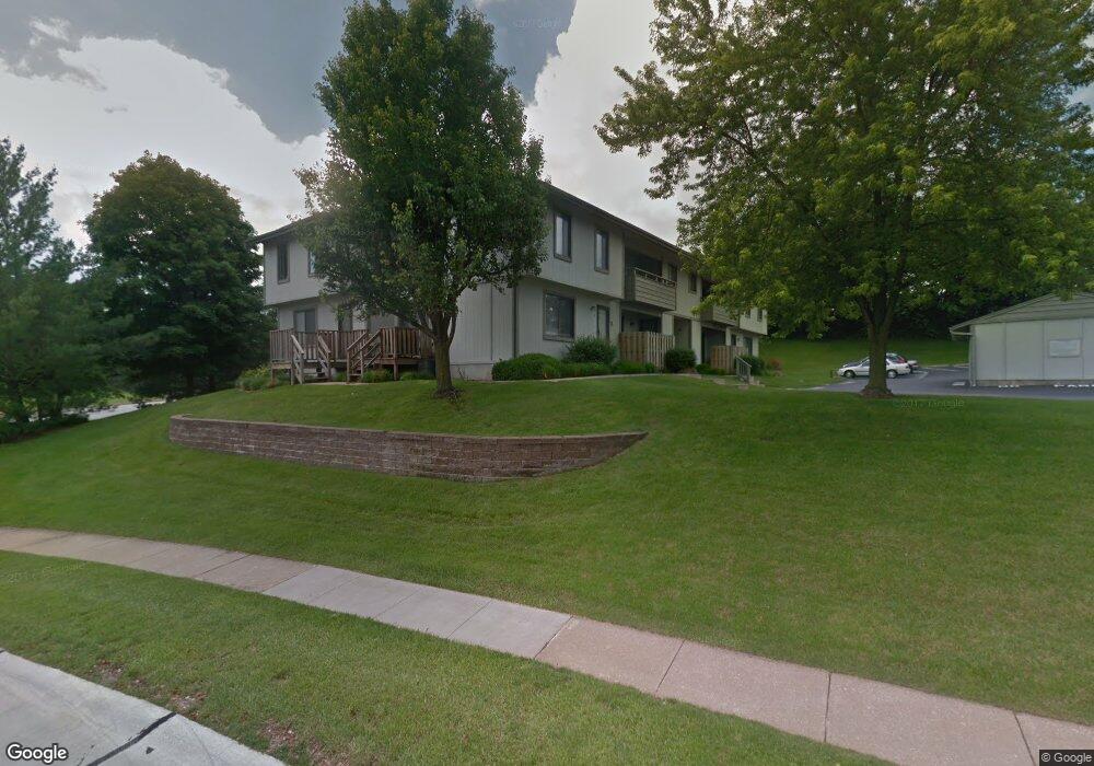
10 Megans Ct O Fallon, MO 63366
Estimated Value: $162,000 - $180,000
2
Beds
2
Baths
880
Sq Ft
$194/Sq Ft
Est. Value
About This Home
This home is located at 10 Megans Ct, O Fallon, MO 63366 and is currently estimated at $171,095, approximately $194 per square foot. 10 Megans Ct is a home located in St. Charles County with nearby schools including Joseph L. Mudd Elementary School, Forest Park Elementary School, and Fort Zumwalt North Middle School.
Ownership History
Date
Name
Owned For
Owner Type
Purchase Details
Closed on
Jul 11, 2025
Sold by
Bryson Deborah S and Madras Debbie S
Bought by
Mossotti Mary and Mills William
Current Estimated Value
Home Financials for this Owner
Home Financials are based on the most recent Mortgage that was taken out on this home.
Original Mortgage
$86,250
Outstanding Balance
$86,105
Interest Rate
6.89%
Mortgage Type
New Conventional
Estimated Equity
$84,990
Purchase Details
Closed on
May 5, 2006
Sold by
Emge Darrell and Emge Mary G
Bought by
Madras Debbie S
Home Financials for this Owner
Home Financials are based on the most recent Mortgage that was taken out on this home.
Original Mortgage
$68,500
Interest Rate
6.32%
Mortgage Type
FHA
Purchase Details
Closed on
Jun 1, 1998
Sold by
Emge Darrell R Mary G
Bought by
Emge Darrell and Emge Mary G
Create a Home Valuation Report for This Property
The Home Valuation Report is an in-depth analysis detailing your home's value as well as a comparison with similar homes in the area
Home Values in the Area
Average Home Value in this Area
Purchase History
| Date | Buyer | Sale Price | Title Company |
|---|---|---|---|
| Mossotti Mary | -- | Touchstone Title & Abstract | |
| Madras Debbie S | $94,500 | Atc | |
| Emge Darrell | -- | -- |
Source: Public Records
Mortgage History
| Date | Status | Borrower | Loan Amount |
|---|---|---|---|
| Open | Mossotti Mary | $86,250 | |
| Previous Owner | Madras Debbie S | $68,500 |
Source: Public Records
Tax History Compared to Growth
Tax History
| Year | Tax Paid | Tax Assessment Tax Assessment Total Assessment is a certain percentage of the fair market value that is determined by local assessors to be the total taxable value of land and additions on the property. | Land | Improvement |
|---|---|---|---|---|
| 2025 | $1,489 | $25,694 | -- | -- |
| 2023 | $1,490 | $22,758 | -- | -- |
| 2022 | $1,384 | $19,687 | $0 | $0 |
| 2021 | $1,427 | $19,687 | $0 | $0 |
| 2020 | $1,373 | $18,423 | $0 | $0 |
| 2019 | $1,376 | $18,423 | $0 | $0 |
| 2018 | $1,251 | $15,969 | $0 | $0 |
| 2017 | $1,222 | $15,969 | $0 | $0 |
| 2016 | $1,080 | $14,048 | $0 | $0 |
| 2015 | $997 | $14,048 | $0 | $0 |
| 2014 | $1,019 | $14,102 | $0 | $0 |
Source: Public Records
Map
Nearby Homes
- 519 Galway Dr Unit 10A
- 25 Civic Park Ct
- 503 Imperial Ct
- 423 Woodlawn Ave
- 3 Autumn Grove Ct
- 714 Sunset Ln
- 205 E Elm St
- 731 Cordes St
- 6 Saint Paul Ct
- 203 Saint Margaret Ln
- 29 Westbrook Dr
- 24 Roland Ave
- 6 S Boxwood Ln
- 33 Chip Dr
- 151 N Wellington St
- 38 Downing St
- 1110 Cypress Dr
- 1102 Danielle Elizabeth Ct
- 18 Plackemeier Dr
- 852 Molloy Dr