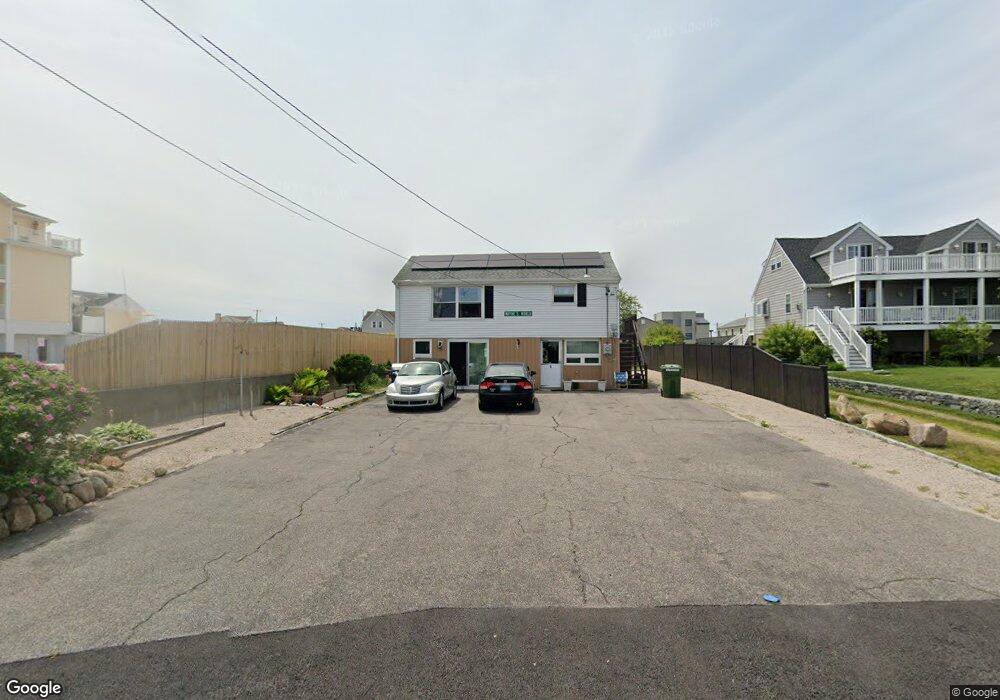
10 Montauk Ave Westerly, RI 02891
Estimated Value: $759,000 - $917,000
3
Beds
1
Bath
616
Sq Ft
$1,350/Sq Ft
Est. Value
About This Home
This home is located at 10 Montauk Ave, Westerly, RI 02891 and is currently estimated at $831,827, approximately $1,350 per square foot. 10 Montauk Ave is a home with nearby schools including Westerly High School and St. Michael School.
Create a Home Valuation Report for This Property
The Home Valuation Report is an in-depth analysis detailing your home's value as well as a comparison with similar homes in the area
Home Values in the Area
Average Home Value in this Area
Tax History
| Year | Tax Paid | Tax Assessment Tax Assessment Total Assessment is a certain percentage of the fair market value that is determined by local assessors to be the total taxable value of land and additions on the property. | Land | Improvement |
|---|---|---|---|---|
| 2025 | $5,733 | $806,300 | $669,300 | $137,000 |
| 2024 | $5,721 | $583,200 | $478,100 | $105,100 |
| 2023 | $5,610 | $583,200 | $478,100 | $105,100 |
| 2022 | $5,575 | $583,200 | $478,100 | $105,100 |
| 2021 | $4,934 | $428,300 | $346,600 | $81,700 |
| 2020 | $4,844 | $428,300 | $346,600 | $81,700 |
| 2019 | $4,797 | $428,300 | $346,600 | $81,700 |
| 2018 | $4,652 | $391,600 | $315,100 | $76,500 |
| 2017 | $4,539 | $391,600 | $315,100 | $76,500 |
| 2016 | $4,574 | $391,600 | $315,100 | $76,500 |
| 2015 | $4,330 | $400,200 | $321,600 | $78,600 |
| 2014 | $4,258 | $400,200 | $321,600 | $78,600 |
Source: Public Records
Map
Nearby Homes
- 27 Benson Ave
- 10 Tristam St
- 9 Compass Way Unit 201
- 9 Compass Way Unit 202
- 9 Compass Way Unit 101
- 9 Compass Way Unit 102
- 9 Compass Way Unit 103
- 9 Compass Way Unit 203
- 4 Shore Rd
- 4 Quail Run
- 432 Atlantic Ave
- 20 Browning Rd
- 446 Atlantic Ave
- 60 Avondale Rd
- 470 Atlantic Ave
- 19 Wicklow Rd
- 417 River Rd
- 9 Champlin Dr
- 18 Timothy Dr
- 54 Sherwood Dr
Your Personal Tour Guide
Ask me questions while you tour the home.