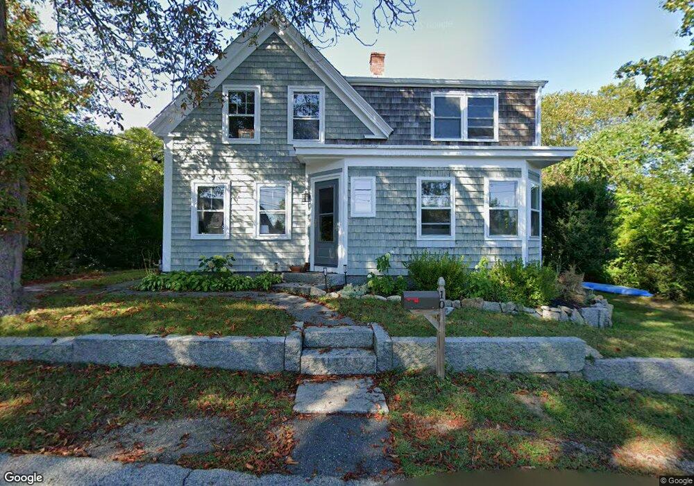
10 Mount Locust Ave Unit 1 Rockport, MA 01966
Estimated Value: $893,000 - $1,373,000
3
Beds
2
Baths
1,450
Sq Ft
$740/Sq Ft
Est. Value
About This Home
This home is located at 10 Mount Locust Ave Unit 1, Rockport, MA 01966 and is currently estimated at $1,073,041, approximately $740 per square foot. 10 Mount Locust Ave Unit 1 is a home located in Essex County with nearby schools including Rockport Elementary School, Rockport Middle School, and Rockport High School.
Ownership History
Date
Name
Owned For
Owner Type
Purchase Details
Closed on
Sep 1, 2023
Sold by
Rojas Antonio C
Bought by
Fines Brian and Navarro Lill H
Current Estimated Value
Home Financials for this Owner
Home Financials are based on the most recent Mortgage that was taken out on this home.
Original Mortgage
$790,419
Outstanding Balance
$772,307
Interest Rate
6.78%
Mortgage Type
FHA
Estimated Equity
$300,734
Purchase Details
Closed on
Sep 17, 2015
Sold by
Olivo Milagros H and Rojas Antonio C
Bought by
Rojas Antonio C
Purchase Details
Closed on
Jan 14, 2008
Sold by
Hogan Betty E Est and Hogan-Putaansuu
Bought by
Olivo Milagros H
Home Financials for this Owner
Home Financials are based on the most recent Mortgage that was taken out on this home.
Original Mortgage
$330,400
Interest Rate
6.21%
Mortgage Type
Purchase Money Mortgage
Create a Home Valuation Report for This Property
The Home Valuation Report is an in-depth analysis detailing your home's value as well as a comparison with similar homes in the area
Home Values in the Area
Average Home Value in this Area
Purchase History
| Date | Buyer | Sale Price | Title Company |
|---|---|---|---|
| Fines Brian | $805,000 | None Available | |
| Fines Brian | $805,000 | None Available | |
| Rojas Antonio C | -- | -- | |
| Rojas Antonio C | -- | -- | |
| Olivo Milagros H | $413,000 | -- | |
| Olivo Milagros H | $413,000 | -- |
Source: Public Records
Mortgage History
| Date | Status | Borrower | Loan Amount |
|---|---|---|---|
| Open | Fines Brian | $790,419 | |
| Closed | Fines Brian | $790,419 | |
| Previous Owner | Olivo Milagros H | $330,400 |
Source: Public Records
Tax History Compared to Growth
Tax History
| Year | Tax Paid | Tax Assessment Tax Assessment Total Assessment is a certain percentage of the fair market value that is determined by local assessors to be the total taxable value of land and additions on the property. | Land | Improvement |
|---|---|---|---|---|
| 2025 | $7,612 | $868,900 | $491,800 | $377,100 |
| 2024 | $7,360 | $874,100 | $480,700 | $393,400 |
| 2023 | $7,210 | $764,600 | $402,400 | $362,200 |
| 2022 | $6,223 | $633,700 | $374,100 | $259,600 |
| 2021 | $5,879 | $603,600 | $356,300 | $247,300 |
| 2020 | $6,181 | $612,000 | $401,000 | $211,000 |
| 2019 | $5,947 | $603,100 | $392,100 | $211,000 |
| 2018 | $5,770 | $570,700 | $366,000 | $204,700 |
| 2017 | $5,482 | $486,000 | $331,900 | $154,100 |
| 2016 | $5,492 | $488,200 | $334,100 | $154,100 |
| 2015 | $5,229 | $475,400 | $322,600 | $152,800 |
| 2014 | $5,374 | $476,800 | $299,500 | $177,300 |
Source: Public Records
Map
Nearby Homes
- 13 Phillips Ave
- 73 Phillips Ave
- 165 Granite St
- 25 Stockholm Ave
- 2 Wharf Rd
- 2 Boulder Top
- 13 Rowe Point
- 26 Quarry Ridge Ln
- 2 Norseman Ave
- 1 Doctors Run
- 63R Main St Unit 2
- 2 Mount Pleasant St Unit 3
- 36 Broadway Ave
- 123 Main St Unit 2
- 15 High St Unit D
- 5 Allen Ave
- 4 Norwood Ave
- 13 Pleasant St Unit 3
- 57 Mt Pleasant St Unit 2B
- 5 Marshall Ln
- 10 Mount Locust Ave
- 8 Mount Locust Ave
- 16 Phillips Ave
- 7 Mount Locust Ave
- 14 Phillips Ave
- 5 Lacrosse Ave
- 4 Mount Locust Ave
- 2 Ocean Ave
- 20 Phillips Ave
- 4 Ocean Ave
- 1 Lacrosse Ave
- 231 Granite St
- 231 Granite St Unit 2
- 17 Phillips Ave
- 5 Mount Locust Ave
- 2 Mount Locust Ave
- 227 Granite St Unit 4B
- 227 Granite St Unit 4A
- 227 Granite St Unit 3D
- 227 Granite St Unit 3C