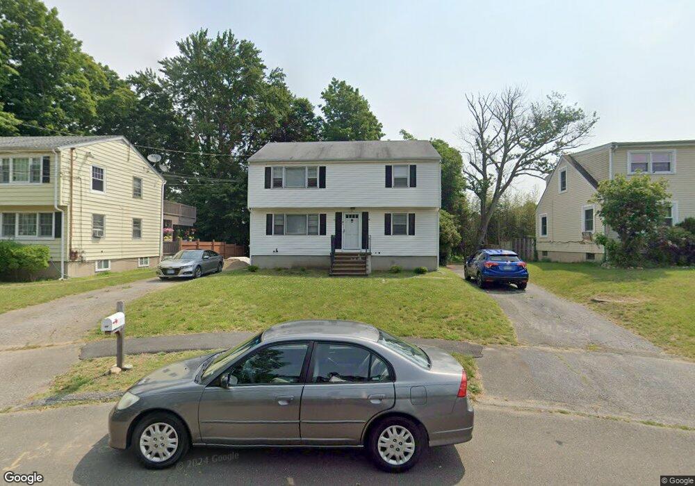
10 Muffin Ln Norwalk, CT 06851
Downtown Norwalk NeighborhoodEstimated Value: $587,000 - $712,000
4
Beds
2
Baths
1,836
Sq Ft
$363/Sq Ft
Est. Value
About This Home
This home is located at 10 Muffin Ln, Norwalk, CT 06851 and is currently estimated at $666,929, approximately $363 per square foot. 10 Muffin Ln is a home located in Fairfield County with nearby schools including Naramake Elementary School, Nathan Hale Middle School, and Norwalk High School.
Ownership History
Date
Name
Owned For
Owner Type
Purchase Details
Closed on
Jul 22, 2021
Sold by
Cavanagh Leslie and Neuman Stacey
Bought by
Corbett Robin A
Current Estimated Value
Home Financials for this Owner
Home Financials are based on the most recent Mortgage that was taken out on this home.
Original Mortgage
$190,000
Outstanding Balance
$172,658
Interest Rate
3%
Mortgage Type
Purchase Money Mortgage
Estimated Equity
$494,271
Create a Home Valuation Report for This Property
The Home Valuation Report is an in-depth analysis detailing your home's value as well as a comparison with similar homes in the area
Home Values in the Area
Average Home Value in this Area
Purchase History
| Date | Buyer | Sale Price | Title Company |
|---|---|---|---|
| Corbett Robin A | $140,000 | None Available | |
| Corbett Robin A | $140,000 | None Available |
Source: Public Records
Mortgage History
| Date | Status | Borrower | Loan Amount |
|---|---|---|---|
| Open | Corbett Robin A | $190,000 | |
| Closed | Corbett Robin A | $190,000 |
Source: Public Records
Tax History Compared to Growth
Tax History
| Year | Tax Paid | Tax Assessment Tax Assessment Total Assessment is a certain percentage of the fair market value that is determined by local assessors to be the total taxable value of land and additions on the property. | Land | Improvement |
|---|---|---|---|---|
| 2025 | $8,844 | $369,350 | $158,990 | $210,360 |
| 2024 | $8,713 | $369,350 | $158,990 | $210,360 |
| 2023 | $5,984 | $237,830 | $103,232 | $134,598 |
| 2022 | $5,872 | $237,830 | $103,232 | $134,598 |
| 2021 | $5,720 | $237,830 | $103,233 | $134,597 |
| 2020 | $5,717 | $237,830 | $103,233 | $134,597 |
| 2019 | $5,557 | $237,830 | $103,233 | $134,597 |
| 2018 | $5,971 | $223,950 | $132,300 | $91,650 |
| 2017 | $5,766 | $223,950 | $132,300 | $91,650 |
| 2016 | $5,716 | $224,150 | $132,300 | $91,850 |
| 2015 | $5,695 | $223,950 | $132,300 | $91,650 |
| 2014 | $5,621 | $223,950 | $132,300 | $91,650 |
Source: Public Records
Map
Nearby Homes
- 360 Westport Ave Unit 10
- 1 Wolfpit Ave Unit 12
- 324 Strawberry Hill Ave Unit B208
- 80 County St Unit 11K
- 80 County St Unit 9K
- 80 County St Unit 3A
- 12 Hawthorne Dr
- 11 Mark Dr
- 81 Wolfpit Ave Unit C6
- 71 Saddle Rd
- 30 Friendly Rd
- 100 Wolfpit Ave Unit 2
- 100 Wolfpit Ave Unit 17
- 44 King St
- 72 Walter Ave
- 38 Saddle Rd
- 44 Ambler Dr
- 72 Dry Hill Rd
- 29 Saddle Rd
- 18 Katy Ln
- 8 Muffin Ln
- 12 Muffin Ln
- 6 Muffin Ln
- 4 Muffin Ln
- 297 Strawberry Hill Ave
- 11 Muffin Ln
- 11 Muffin Ln Unit B
- 9 Muffin Ln
- 5 Muffin Ln
- 330 Westport Ave
- 293 Strawberry Hill Ave
- 46 County St
- 42 County St
- 2 Muffin Ln
- 44 County St
- 3 Muffin Ln
- 299 Strawberry Hill Ave
- 34 County St
- 48 County St
- 48 County St Unit In-Law