10 N Beach Ave Bourne, MA 02532
Monument Beach NeighborhoodEstimated Value: $528,000 - $738,000
3
Beds
2
Baths
2,603
Sq Ft
$247/Sq Ft
Est. Value
About This Home
This home is located at 10 N Beach Ave, Bourne, MA 02532 and is currently estimated at $643,424, approximately $247 per square foot. 10 N Beach Ave is a home located in Barnstable County with nearby schools including Bourne High School, St Margaret Regional School, and Cadence Academy Preschool - Bourne.
Ownership History
Date
Name
Owned For
Owner Type
Purchase Details
Closed on
Dec 29, 2008
Sold by
Palazesi Diane P and Palazesi Leni J
Bought by
Riverbend Holdings Llc
Current Estimated Value
Purchase Details
Closed on
May 18, 1998
Sold by
Bccreo Llc
Bought by
Palazesi Leni J and Palazesi Diane P
Purchase Details
Closed on
Apr 7, 1997
Sold by
Chrysler Firs Business
Bought by
Bcc Reo Llc
Purchase Details
Closed on
Aug 22, 1995
Sold by
Simmons George L
Bought by
Bank Of America Natl
Create a Home Valuation Report for This Property
The Home Valuation Report is an in-depth analysis detailing your home's value as well as a comparison with similar homes in the area
Home Values in the Area
Average Home Value in this Area
Purchase History
| Date | Buyer | Sale Price | Title Company |
|---|---|---|---|
| Riverbend Holdings Llc | -- | -- | |
| Riverbend Holdings Llc | -- | -- | |
| Palazesi Leni J | $50,000 | -- | |
| Palazesi Leni J | $50,000 | -- | |
| Bcc Reo Llc | $61,477 | -- | |
| Bcc Reo Llc | $61,477 | -- | |
| Bank Of America Natl | $92,000 | -- | |
| Bank Of America Natl | $92,000 | -- |
Source: Public Records
Tax History Compared to Growth
Tax History
| Year | Tax Paid | Tax Assessment Tax Assessment Total Assessment is a certain percentage of the fair market value that is determined by local assessors to be the total taxable value of land and additions on the property. | Land | Improvement |
|---|---|---|---|---|
| 2025 | $4,652 | $595,700 | $196,700 | $399,000 |
| 2024 | $4,549 | $567,200 | $187,300 | $379,900 |
| 2023 | $4,423 | $502,000 | $165,800 | $336,200 |
| 2022 | $4,431 | $439,100 | $146,700 | $292,400 |
| 2021 | $4,054 | $376,400 | $133,500 | $242,900 |
| 2020 | $4,063 | $378,300 | $132,300 | $246,000 |
| 2019 | $3,732 | $355,100 | $120,800 | $234,300 |
| 2018 | $3,291 | $312,200 | $115,000 | $197,200 |
| 2017 | $2,793 | $271,200 | $113,900 | $157,300 |
| 2016 | $2,732 | $268,900 | $113,900 | $155,000 |
| 2015 | $2,708 | $268,900 | $113,900 | $155,000 |
Source: Public Records
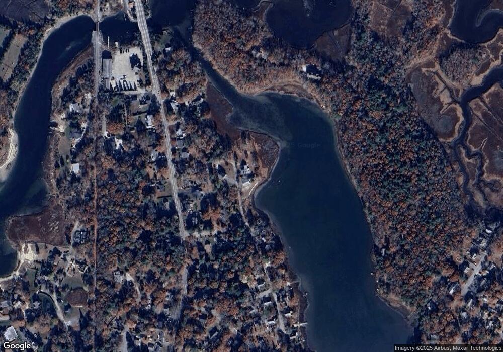
Map
Nearby Homes
- 18 Douglas Ave
- 566 Shore Rd
- 30 Howard Ave
- 12 Beachwood Rd
- 203 County Rd
- 93 Valley Bars Rd
- 16 Amberwood Ct
- 13 Laurel Hill Ct
- 12 Turnberry Rd Unit 12
- 39 Bennets Neck Dr
- 26 Carnoustie Rd
- 5 Sea Knoll Ct
- 4 Hollyhock Knoll Ct Unit 4
- 4 Hollyhock Knoll Ct Unit 4
- 14 Navajo Rd
- 1 Hollyhock Knoll Ct Unit 1
- 709 County Rd
- 44 Cotuit Rd
- 254 Barlows Landing Rd
- 70 Wings Neck Rd