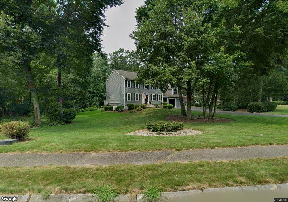
10 Nathan Rd Mansfield, MA 02048
Estimated Value: $861,000 - $930,000
3
Beds
3
Baths
2,498
Sq Ft
$358/Sq Ft
Est. Value
About This Home
This home is located at 10 Nathan Rd, Mansfield, MA 02048 and is currently estimated at $894,414, approximately $358 per square foot. 10 Nathan Rd is a home located in Bristol County with nearby schools including Everett W. Robinson Elementary School, Jordan/Jackson Elementary School, and Harold L. Qualters Middle School.
Ownership History
Date
Name
Owned For
Owner Type
Purchase Details
Closed on
Aug 13, 1991
Sold by
East Coast Dev Ltd
Bought by
Doherty Edward J and Janice Doherty
Current Estimated Value
Create a Home Valuation Report for This Property
The Home Valuation Report is an in-depth analysis detailing your home's value as well as a comparison with similar homes in the area
Home Values in the Area
Average Home Value in this Area
Purchase History
| Date | Buyer | Sale Price | Title Company |
|---|---|---|---|
| Doherty Edward J | $182,500 | -- |
Source: Public Records
Mortgage History
| Date | Status | Borrower | Loan Amount |
|---|---|---|---|
| Open | Doherty Edward J | $50,000 | |
| Open | Doherty Edward J | $220,000 | |
| Closed | Doherty Edward J | $25,000 |
Source: Public Records
Tax History Compared to Growth
Tax History
| Year | Tax Paid | Tax Assessment Tax Assessment Total Assessment is a certain percentage of the fair market value that is determined by local assessors to be the total taxable value of land and additions on the property. | Land | Improvement |
|---|---|---|---|---|
| 2025 | $9,996 | $759,000 | $278,200 | $480,800 |
| 2024 | $9,474 | $701,800 | $290,300 | $411,500 |
| 2023 | $9,154 | $649,700 | $290,300 | $359,400 |
| 2022 | $8,793 | $579,600 | $268,700 | $310,900 |
| 2021 | $8,552 | $556,800 | $224,000 | $332,800 |
| 2020 | $8,417 | $548,000 | $224,000 | $324,000 |
| 2019 | $7,869 | $517,000 | $186,500 | $330,500 |
| 2018 | $7,822 | $502,400 | $177,900 | $324,500 |
| 2017 | $7,337 | $488,500 | $172,900 | $315,600 |
| 2016 | $7,052 | $457,600 | $164,600 | $293,000 |
| 2015 | $6,862 | $442,700 | $164,600 | $278,100 |
Source: Public Records
Map
Nearby Homes
- 711 Ware St
- 24 Barberry Rd
- 24 Hawthorne Rd
- 18 Columbine Rd
- 22 S Lakeview Rd
- 21 Juniper Rd
- 0 Brook Pkwy
- 0 Kensington Rd
- 460 Ware St
- 442 Ware St
- 136 N Washington St Unit 6
- 15 Patten Rd
- 18 Millfarm Dr
- 40 Patten Rd
- 15 Reservoir St Unit 44
- 0 Knollwood & 0 Rear Kensington
- 10 Ridge Rd
- 5 Ian Keats Dr
- 6 Horton Dr
- 11 Renwick Dr