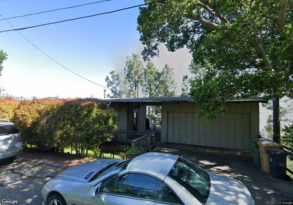
10 Oakhurst Rd San Rafael, CA 94901
Picnic Valley NeighborhoodEstimated Value: $890,000 - $1,620,000
2
Beds
2
Baths
978
Sq Ft
$1,153/Sq Ft
Est. Value
About This Home
This home is located at 10 Oakhurst Rd, San Rafael, CA 94901 and is currently estimated at $1,128,022, approximately $1,153 per square foot. 10 Oakhurst Rd is a home located in Marin County with nearby schools including Laurel Dell Elementary School, Coleman Elementary School, and James B. Davidson Middle School.
Ownership History
Date
Name
Owned For
Owner Type
Purchase Details
Closed on
May 8, 2018
Sold by
Koch Ii Kenneth Marshall
Bought by
Koch Ii Kenneth Marshall and Kenneth Marshall Koch Ii Trust
Current Estimated Value
Purchase Details
Closed on
Mar 13, 2015
Sold by
Koch Kenneth M
Bought by
Koch Ii Kenneth Marshall
Purchase Details
Closed on
Nov 7, 2000
Sold by
Carmel Bonald
Bought by
Koch Kenneth M
Home Financials for this Owner
Home Financials are based on the most recent Mortgage that was taken out on this home.
Original Mortgage
$368,000
Outstanding Balance
$129,495
Interest Rate
7.25%
Estimated Equity
$998,527
Create a Home Valuation Report for This Property
The Home Valuation Report is an in-depth analysis detailing your home's value as well as a comparison with similar homes in the area
Home Values in the Area
Average Home Value in this Area
Purchase History
| Date | Buyer | Sale Price | Title Company |
|---|---|---|---|
| Koch Ii Kenneth Marshall | -- | None Available | |
| Koch Ii Kenneth Marshall | -- | None Available | |
| Koch Kenneth M | $409,000 | California Land Title |
Source: Public Records
Mortgage History
| Date | Status | Borrower | Loan Amount |
|---|---|---|---|
| Open | Koch Kenneth M | $368,000 |
Source: Public Records
Tax History
| Year | Tax Paid | Tax Assessment Tax Assessment Total Assessment is a certain percentage of the fair market value that is determined by local assessors to be the total taxable value of land and additions on the property. | Land | Improvement |
|---|---|---|---|---|
| 2025 | $8,725 | $616,251 | $433,249 | $183,002 |
| 2024 | $8,523 | $604,170 | $424,755 | $179,415 |
| 2023 | $8,348 | $592,325 | $416,428 | $175,897 |
| 2022 | $7,906 | $580,714 | $408,265 | $172,449 |
| 2021 | $7,794 | $569,327 | $400,259 | $169,068 |
| 2020 | $7,762 | $563,490 | $396,156 | $167,334 |
| 2019 | $7,528 | $552,444 | $388,390 | $164,054 |
| 2018 | $7,468 | $541,613 | $380,775 | $160,838 |
| 2017 | $7,200 | $530,996 | $373,311 | $157,685 |
| 2016 | $6,964 | $520,587 | $365,993 | $154,594 |
| 2015 | $6,657 | $512,771 | $360,498 | $152,273 |
| 2014 | $6,372 | $502,730 | $353,439 | $149,291 |
Source: Public Records
Map
Nearby Homes
- 148 Auburn St
- 141 Irwin St
- 170 Irwin St
- 155 Bret Harte Rd
- 42 Billou St
- 742 Francisco Blvd W Unit B22
- 742 Francisco Blvd W Unit B12
- 43 Baywood Terrace
- 119 Bretano Way
- 11 La Cuesta Dr
- 123 Almenar Dr
- 3508 Kerner Blvd
- 26 Mooring Rd Unit 1
- 35 Fairfax St Unit 8
- 2130 Redwood Hwy Unit F5
- 2130 Redwood Hwy Unit G6
- 290 Via Casitas Unit 206
- 11 Gretchen Place
- 320 Via Casitas Unit 109
- 4 Point San Pedro Rd Unit 4
- 225 Tiburon Blvd
- 16 Oakhurst Rd
- 50 Bret Harte Rd
- 4 Oakhurst Rd
- 223 Tiburon Blvd
- 226 Tiburon Blvd
- 236 Tiburon Blvd
- 236 Tiburon Blvd
- 21 Oakhurst Rd
- 26 Oakhurst Rd
- 44 Bret Harte Rd
- 53 Bret Harte Rd
- 232 Tiburon Blvd
- 228 Tiburon Blvd
- 45 Bret Harte Rd
- 47 Bret Harte Rd
- 55 Bret Harte Rd
- 221 Tiburon Blvd
- 41 Bret Harte Rd
- 238 Tiburon Blvd
Your Personal Tour Guide
Ask me questions while you tour the home.