10 Old Cart Path Norfolk, MA 02056
Estimated Value: $1,146,488 - $1,281,000
4
Beds
4
Baths
2,784
Sq Ft
$440/Sq Ft
Est. Value
About This Home
This home is located at 10 Old Cart Path, Norfolk, MA 02056 and is currently estimated at $1,224,622, approximately $439 per square foot. 10 Old Cart Path is a home with nearby schools including H. Olive Day School, Freeman-Kennedy School, and Clifford Academy.
Ownership History
Date
Name
Owned For
Owner Type
Purchase Details
Closed on
Jan 19, 2024
Sold by
Feyock Daniel H and Feyock Monica C
Bought by
Dm Feyock Lt and Feyock
Current Estimated Value
Purchase Details
Closed on
Nov 14, 2019
Sold by
Norfolk County Homes Llc
Bought by
Feyock Daniel H and Feyock Monica C
Home Financials for this Owner
Home Financials are based on the most recent Mortgage that was taken out on this home.
Original Mortgage
$607,200
Interest Rate
3.65%
Mortgage Type
New Conventional
Create a Home Valuation Report for This Property
The Home Valuation Report is an in-depth analysis detailing your home's value as well as a comparison with similar homes in the area
Home Values in the Area
Average Home Value in this Area
Purchase History
| Date | Buyer | Sale Price | Title Company |
|---|---|---|---|
| Dm Feyock Lt | -- | None Available | |
| Feyock Daniel H | $759,000 | -- |
Source: Public Records
Mortgage History
| Date | Status | Borrower | Loan Amount |
|---|---|---|---|
| Previous Owner | Feyock Daniel H | $607,200 |
Source: Public Records
Tax History Compared to Growth
Tax History
| Year | Tax Paid | Tax Assessment Tax Assessment Total Assessment is a certain percentage of the fair market value that is determined by local assessors to be the total taxable value of land and additions on the property. | Land | Improvement |
|---|---|---|---|---|
| 2025 | $17,182 | $1,075,900 | $262,200 | $813,700 |
| 2024 | $16,272 | $1,045,100 | $262,200 | $782,900 |
| 2023 | $15,224 | $927,700 | $262,200 | $665,500 |
| 2022 | $14,245 | $782,700 | $246,800 | $535,900 |
| 2021 | $13,514 | $751,200 | $240,200 | $511,000 |
| 2020 | $14,714 | $789,400 | $267,400 | $522,000 |
| 2019 | $1,893 | $103,500 | $103,500 | $0 |
| 2018 | $1,927 | $103,500 | $103,500 | $0 |
| 2017 | $1,886 | $103,500 | $103,500 | $0 |
| 2016 | $1,920 | $106,200 | $106,200 | $0 |
| 2015 | $1,798 | $101,800 | $101,800 | $0 |
| 2014 | $2,878 | $165,100 | $165,100 | $0 |
Source: Public Records
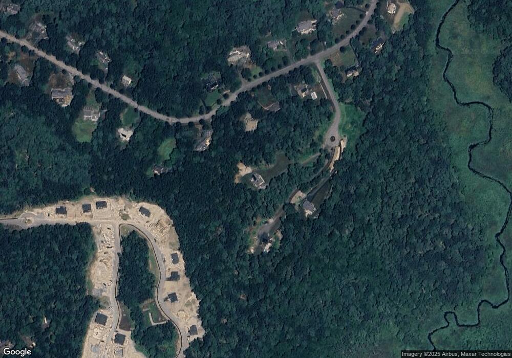
Map
Nearby Homes
- 13 Stop River Rd
- 10 Stop River Rd
- The Georgetown Grand R Plan at Lakeland Hills
- The Georgetown Grand L Plan at Lakeland Hills
- The Georgetown L Plan at Lakeland Hills
- The Georgetown R Plan at Lakeland Hills
- 56 Thomas Mann Cir Unit 43
- 54 Thomas Mann Unit Lot 42
- 42 Thomas Mann Unit 39
- 55 Thomas Mann Cir Unit 32
- 27 Thomas Mann Cir Unit 18
- 51 Thomas Mann Unit 30
- 37 Thomas Mann Cir Unit 23
- 533 Lincoln Rd
- 465 Lincoln Rd
- 14 Cleary Cir
- 14 Cleary Cir Unit 14
- 26 Noon Hill Ave
- 16 Lee Rd
- 9 Lakewood Dr
- 18 Stop River Rd
- 11 Old Cart Path
- 16 Stop River Rd
- 20 Stop River Rd
- 22 Stop River Rd
- 14 Stop River Rd
- 12 Old Cart Path
- 15 Thomas Mann Circle (Lot 8)
- 15 Stop River Rd
- 19 Stop River Rd
- 17 Thomas Mann Circle (Lot 9)
- 21 Stop River Rd
- 24 Stop River Rd
- 12 Stop River Rd
- 12 Stop River Rd
- 23 Stop River Rd
- 23 Thomas Mann Circle (Lot 12)
- 23 Thomas Mann Cir
- 11 Stop River Rd
- 3 Thomas Mann Cir