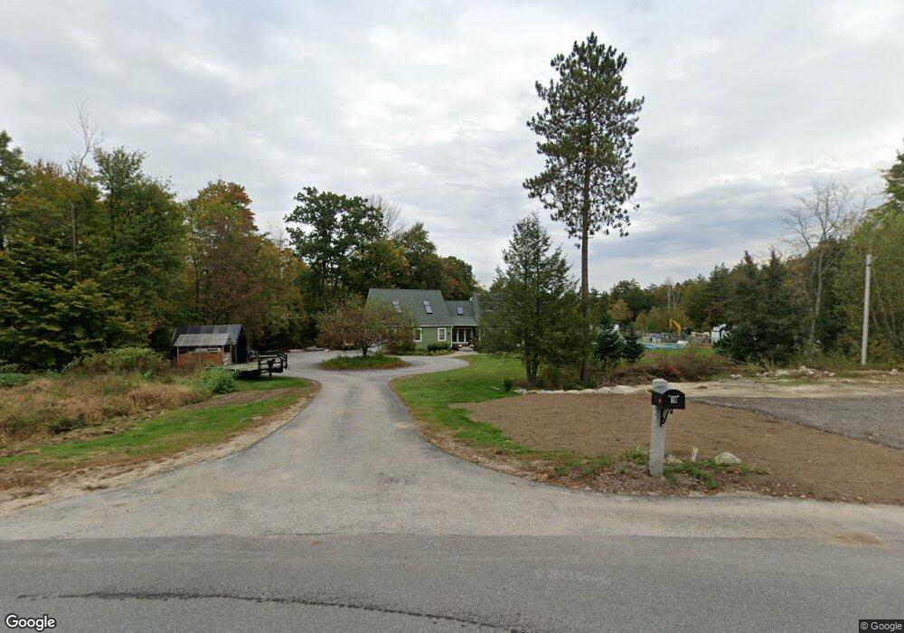
10 Old Fort Ln Dunbarton, NH 03046
Estimated Value: $606,000 - $689,431
3
Beds
2
Baths
2,127
Sq Ft
$305/Sq Ft
Est. Value
About This Home
This home is located at 10 Old Fort Ln, Dunbarton, NH 03046 and is currently estimated at $648,858, approximately $305 per square foot. 10 Old Fort Ln is a home located in Merrimack County with nearby schools including Dunbarton Elementary School, Bow Memorial School, and Bow High School.
Ownership History
Date
Name
Owned For
Owner Type
Purchase Details
Closed on
Mar 27, 2017
Sold by
Cusano Karen E
Bought by
Cusano Karen E
Current Estimated Value
Purchase Details
Closed on
May 31, 1995
Bought by
Gincott Karen E
Create a Home Valuation Report for This Property
The Home Valuation Report is an in-depth analysis detailing your home's value as well as a comparison with similar homes in the area
Home Values in the Area
Average Home Value in this Area
Purchase History
| Date | Buyer | Sale Price | Title Company |
|---|---|---|---|
| Cusano Karen E | -- | -- | |
| Gincott Karen E | -- | -- |
Source: Public Records
Mortgage History
| Date | Status | Borrower | Loan Amount |
|---|---|---|---|
| Open | Cusano Karen E | $340,000 | |
| Closed | Cusano Karen E | $300,000 | |
| Previous Owner | Gincott Karen E | $260,000 | |
| Previous Owner | Gincott Karen E | $245,000 | |
| Previous Owner | Gincott Karen E | $90,000 | |
| Previous Owner | Gincott Karen E | $20,000 |
Source: Public Records
Tax History Compared to Growth
Tax History
| Year | Tax Paid | Tax Assessment Tax Assessment Total Assessment is a certain percentage of the fair market value that is determined by local assessors to be the total taxable value of land and additions on the property. | Land | Improvement |
|---|---|---|---|---|
| 2024 | $10,549 | $399,900 | $88,400 | $311,500 |
| 2023 | $10,225 | $399,900 | $88,400 | $311,500 |
| 2022 | $9,190 | $399,900 | $88,400 | $311,500 |
| 2021 | $9,362 | $399,900 | $88,400 | $311,500 |
| 2020 | $8,910 | $399,900 | $88,400 | $311,500 |
| 2018 | $6,464 | $286,900 | $72,300 | $214,600 |
| 2017 | $7,348 | $286,900 | $72,300 | $214,600 |
| 2016 | $6,880 | $286,900 | $72,300 | $214,600 |
| 2015 | $6,768 | $286,900 | $72,300 | $214,600 |
| 2014 | $6,454 | $305,300 | $72,300 | $233,000 |
| 2013 | $6,414 | $305,300 | $72,300 | $233,000 |
Source: Public Records
Map
Nearby Homes
- I3-03-05 Clinton St
- 256-0-17 Jewett Rd
- 40 N Woods Rd
- 167 Branch Londonderry Turnpike
- 0 Farrington Corner Rd Unit 14
- 250 Grapevine Rd
- 490 Page Rd
- 8 Longview Dr
- 5 Longview Dr
- 27 Brushwood Dr
- 541 South Rd
- 57 Lyndsey Ln
- 0 George Rd Unit 30
- 70 Gile Hill Rd
- 464 Irish Hill Rd
- 256 Irish Hill Rd
- 0 Als Dr Unit 196
- 102 Fieldstone Rd
- 0 Brown Hill Rd Unit 5032600
- 1003 School St
- 9 Old Fort Ln
- 13 Old Fort Ln
- 16 Old Fort Ln
- 22 Old Fort Ln
- 2 Jewett Rd
- 30 Jewett Rd
- 24 Old Fort Ln
- 32 Jewett Rd
- 31 Concord Stage Rd
- 3 Jewett Rd
- 23 Old Fort Ln
- 34 Jewett Rd
- 347 Stark Hwy N
- 344 Stark Hwy N
- 28 Old Fort Ln
- 4 Devil Steps Rd
- 33 Concord Stage Rd
- 8 Devil Steps Rd
- 80 Old Fort Ln
- 89 Old Fort Ln