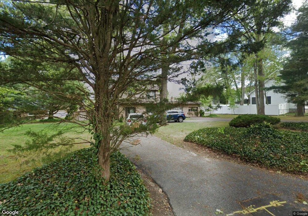
10 Old Landing Rd Mantua, NJ 08051
Mantua Township NeighborhoodEstimated Value: $324,000 - $461,000
--
Bed
--
Bath
1,960
Sq Ft
$208/Sq Ft
Est. Value
About This Home
This home is located at 10 Old Landing Rd, Mantua, NJ 08051 and is currently estimated at $407,621, approximately $207 per square foot. 10 Old Landing Rd is a home located in Gloucester County with nearby schools including Centre City School, Clearview Regional Middle School, and Clearview Regional High School.
Ownership History
Date
Name
Owned For
Owner Type
Purchase Details
Closed on
Dec 31, 2013
Sold by
Iacovino Daniel Richard and Iacovino Pauline
Bought by
Iacovino Daniel Richard and Iacovino Pauline
Current Estimated Value
Create a Home Valuation Report for This Property
The Home Valuation Report is an in-depth analysis detailing your home's value as well as a comparison with similar homes in the area
Home Values in the Area
Average Home Value in this Area
Purchase History
| Date | Buyer | Sale Price | Title Company |
|---|---|---|---|
| Iacovino Daniel Richard | -- | -- |
Source: Public Records
Tax History Compared to Growth
Tax History
| Year | Tax Paid | Tax Assessment Tax Assessment Total Assessment is a certain percentage of the fair market value that is determined by local assessors to be the total taxable value of land and additions on the property. | Land | Improvement |
|---|---|---|---|---|
| 2025 | $8,340 | $323,900 | $120,600 | $203,300 |
| 2024 | $8,253 | $323,900 | $120,600 | $203,300 |
| 2023 | $8,253 | $323,900 | $120,600 | $203,300 |
| 2022 | $7,402 | $211,600 | $67,000 | $144,600 |
| 2021 | $7,143 | $211,600 | $67,000 | $144,600 |
| 2020 | $7,398 | $211,600 | $67,000 | $144,600 |
| 2019 | $7,273 | $211,600 | $67,000 | $144,600 |
| 2018 | $7,169 | $211,600 | $67,000 | $144,600 |
| 2017 | $7,061 | $211,600 | $67,000 | $144,600 |
| 2016 | $6,981 | $211,600 | $67,000 | $144,600 |
| 2015 | $6,809 | $211,600 | $67,000 | $144,600 |
| 2014 | $6,581 | $211,600 | $67,000 | $144,600 |
Source: Public Records
Map
Nearby Homes
- 1147 Tristram Cir Unit 1147
- 433 Berkley Rd
- 1145 Tristram Cir
- 205 Redbud Ln Unit 205
- 1134 Tristram Cir Unit 4
- 1215 Tristram Cir
- 19 Marathon Dr
- 106 Firth Dr
- 1433 Tristram Cir
- 131 Firth Dr
- 465 Berkley Rd
- 75 Hickory Ave
- 261 Tony Cir
- 8 Barry Dr
- 212 Fawn Meadow Dr
- 325 Bridgeton Pike
- 232 Fawn Meadow Dr
- 190 Mockingbird Ln
- 204 W Landing Rd
- 155 Whippoorwill Way
- 14 Old Landing Rd
- 184 Norwood Ave
- 9 Old Landing Rd
- 8 Old Landing Rd
- 188 Norwood Ave
- 370 Berkley Rd
- 360 Berkley Rd
- 358 Berkley Rd
- 380 Berkley Rd
- 172 Woodlawn Ave
- 63 Springhill Rd
- 180 Woodlawn Ave
- 354 Berkley Rd
- 0 Berkley Rd
- 164 Woodlawn Ave
- 4 Old Landing Rd
- 61 Springhill Rd
- 196 Woodlawn Ave
- 229 Balin Ct
- 231 Balin Ct Unit 231