Estimated Value: $582,000 - $666,000
3
Beds
3
Baths
1,729
Sq Ft
$356/Sq Ft
Est. Value
About This Home
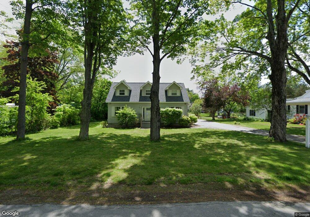
This home is located at 10 Old Littleworth Rd, Dover, NH 03820 and is currently estimated at $616,146, approximately $356 per square foot. 10 Old Littleworth Rd is a home located in Strafford County with nearby schools including Woodman Park School, Dover Middle School, and Dover Senior High School.
Ownership History
Date
Name
Owned For
Owner Type
Purchase Details
Closed on
Feb 26, 2020
Sold by
Roy Lisa L
Bought by
Lisa L Roy Ret
Current Estimated Value
Purchase Details
Closed on
Aug 26, 2002
Sold by
Pollak Peter M and Pollak Tracy E
Bought by
Roy Vaughn E and Roy Lisa L
Home Financials for this Owner
Home Financials are based on the most recent Mortgage that was taken out on this home.
Original Mortgage
$184,000
Interest Rate
6.57%
Create a Home Valuation Report for This Property
The Home Valuation Report is an in-depth analysis detailing your home's value as well as a comparison with similar homes in the area
Home Values in the Area
Average Home Value in this Area
Purchase History
| Date | Buyer | Sale Price | Title Company |
|---|---|---|---|
| Lisa L Roy Ret | -- | None Available | |
| Roy Lisa L | -- | None Available | |
| Roy Vaughn E | $230,000 | -- |
Source: Public Records
Mortgage History
| Date | Status | Borrower | Loan Amount |
|---|---|---|---|
| Previous Owner | Roy Vaughn E | $184,000 |
Source: Public Records
Tax History Compared to Growth
Tax History
| Year | Tax Paid | Tax Assessment Tax Assessment Total Assessment is a certain percentage of the fair market value that is determined by local assessors to be the total taxable value of land and additions on the property. | Land | Improvement |
|---|---|---|---|---|
| 2024 | $9,643 | $530,700 | $151,500 | $379,200 |
| 2023 | $8,733 | $467,000 | $129,800 | $337,200 |
| 2022 | $8,446 | $425,700 | $121,200 | $304,500 |
| 2021 | $8,693 | $400,600 | $121,200 | $279,400 |
| 2020 | $8,454 | $340,200 | $108,200 | $232,000 |
| 2019 | $8,451 | $335,500 | $108,200 | $227,300 |
| 2018 | $8,146 | $326,900 | $99,500 | $227,400 |
| 2017 | $7,836 | $302,900 | $82,200 | $220,700 |
| 2016 | $6,941 | $264,000 | $71,400 | $192,600 |
| 2015 | $6,903 | $259,400 | $71,400 | $188,000 |
| 2014 | $6,747 | $259,400 | $71,400 | $188,000 |
| 2011 | $6,174 | $245,800 | $65,500 | $180,300 |
Source: Public Records
Map
Nearby Homes
- 12 Zeland Dr
- 73 Rutland St
- 98 Silver St
- 5 Prospect St
- 26 Lenox Dr Unit D
- 23 Lenox Dr Unit A
- 34 Lenox Dr Unit D
- 29 Lenox Dr Unit B
- 16 Lenox Dr Unit C
- 21 Lenox Dr Unit A
- 32 Lenox Dr Unit D
- 15 Lenox Dr Unit A
- 25 Lenox Dr Unit A
- 17 Lenox Dr Unit A
- 35 Lenox Dr Unit B
- 20 Lenox Dr Unit c
- 31 Lenox Dr Unit B
- 22 Lenox Dr Unit D
- 1 Prospect Ct
- 181 Central Ave
- 4E Artisan Unit 4E
- 0 Private Unit 4682897
- 2D Artisan Unit D
- 2A Artisan
- 2A Pointe Place Artisan
- Unit 3,4 & Chapel
- 2A Artisan Way Pointe Place
- 00 Schooner Dr
- 46 43 Mast Road Extension Unit 46
- 7 River Run Unit 7
- 8 Old Littleworth Rd
- 12 Old Littleworth Rd
- 5 Beverly Ln
- 3 Beverly Ln
- 1 Chandler Way
- 16 Old Littleworth Rd
- 7 Beverly Ln
- 5 Old Littleworth Rd
- 3 Chandler Way
- 7 Old Littleworth Rd