10 Old Redding Rd Redding, CT 06896
Estimated Value: $1,139,293 - $1,396,000
4
Beds
4
Baths
3,770
Sq Ft
$338/Sq Ft
Est. Value
About This Home
This home is located at 10 Old Redding Rd, Redding, CT 06896 and is currently estimated at $1,273,073, approximately $337 per square foot. 10 Old Redding Rd is a home located in Fairfield County with nearby schools including Redding Elementary School, John Read Middle School, and Joel Barlow High School.
Ownership History
Date
Name
Owned For
Owner Type
Purchase Details
Closed on
Sep 28, 2005
Sold by
Ingersoll Joan S and Ingersoll David B
Bought by
Koorn Alla
Current Estimated Value
Home Financials for this Owner
Home Financials are based on the most recent Mortgage that was taken out on this home.
Original Mortgage
$796,000
Interest Rate
5.84%
Purchase Details
Closed on
Jun 9, 2003
Sold by
Gayonr Lawrence R
Bought by
Fngersoll Joan and Fngersoll David
Purchase Details
Closed on
Apr 19, 2001
Sold by
Hyatt Charles K
Bought by
Taynor Lawrence R
Create a Home Valuation Report for This Property
The Home Valuation Report is an in-depth analysis detailing your home's value as well as a comparison with similar homes in the area
Home Values in the Area
Average Home Value in this Area
Purchase History
| Date | Buyer | Sale Price | Title Company |
|---|---|---|---|
| Koorn Alla | $995,000 | -- | |
| Fngersoll Joan | $250,000 | -- | |
| Taynor Lawrence R | $180,000 | -- |
Source: Public Records
Mortgage History
| Date | Status | Borrower | Loan Amount |
|---|---|---|---|
| Open | Taynor Lawrence R | $808,000 | |
| Closed | Taynor Lawrence R | $796,000 | |
| Closed | Taynor Lawrence R | $199,000 |
Source: Public Records
Tax History
| Year | Tax Paid | Tax Assessment Tax Assessment Total Assessment is a certain percentage of the fair market value that is determined by local assessors to be the total taxable value of land and additions on the property. | Land | Improvement |
|---|---|---|---|---|
| 2025 | $21,038 | $712,200 | $149,700 | $562,500 |
| 2024 | $20,454 | $712,200 | $149,700 | $562,500 |
| 2023 | $19,721 | $712,200 | $149,700 | $562,500 |
| 2022 | $19,154 | $574,500 | $160,900 | $413,600 |
| 2021 | $18,867 | $574,500 | $160,900 | $413,600 |
| 2020 | $18,729 | $570,300 | $160,900 | $409,400 |
| 2019 | $18,729 | $570,300 | $160,900 | $409,400 |
| 2018 | $18,090 | $570,300 | $160,900 | $409,400 |
| 2017 | $17,434 | $588,600 | $153,700 | $434,900 |
| 2016 | $15,766 | $539,200 | $153,700 | $385,500 |
| 2015 | $15,588 | $539,200 | $153,700 | $385,500 |
| 2014 | $15,588 | $539,200 | $153,700 | $385,500 |
Source: Public Records
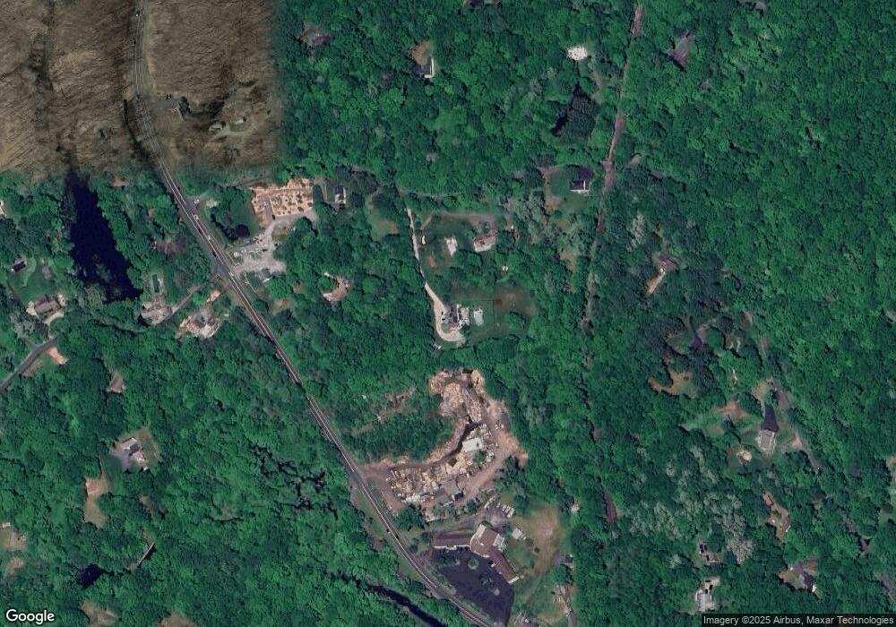
Map
Nearby Homes
- 15 Laurel Hill Rd
- 19 Mine Hill Rd
- 74 Seventy Acre Rd
- 123A Peaceable St
- 250 Ivy Hill Rd
- 26 Wilridge Rd
- 219 Redding Rd
- 229 Umpawaug Rd
- 31 Longview Dr
- 64 Portland Ave
- 25 Eustis Ln
- 36 Fox Run Rd
- 30 Rising Ridge Rd
- 17 Tall Oaks Rd
- 274 Nod Rd
- 28 Great Pond Rd
- 96 Norrans Ridge Dr
- 0 Mountain Rd
- 19 Prospect Ridge Unit 14
- 299 Redding Rd
- 2 Old Redding Rd
- 14 Old Redding Rd
- 155 Mountain Rd
- 22 Old Redding Rd
- 147 Mountain Rd
- 346 Ethan Allen Hwy Unit 1
- 346 Ethan Allen Hwy Unit 3
- 346 Ethan Allen Hwy
- 17 Old Redding Rd
- 11 Old Redding Rd
- 296 Ethan Allen Hwy Unit 207
- 296 Ethan Allen Hwy Unit 200
- 296 Ethan Allen Hwy Unit 107
- 296 Ethan Allen Hwy
- 9 Old Redding Rd
- 23 Old Redding Rd
- 145 Mountain Rd
- 343 Ethan Allen Hwy
- 280 Ethan Allen Hwy
- 135 Mountain Rd
Your Personal Tour Guide
Ask me questions while you tour the home.