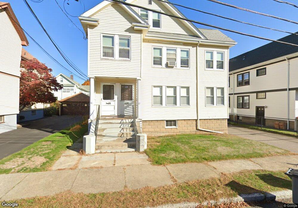
10 Parker St Unit 12 Arlington, MA 02474
East Arlington NeighborhoodEstimated Value: $1,225,000 - $1,478,321
4
Beds
2
Baths
2,827
Sq Ft
$465/Sq Ft
Est. Value
About This Home
This home is located at 10 Parker St Unit 12, Arlington, MA 02474 and is currently estimated at $1,315,330, approximately $465 per square foot. 10 Parker St Unit 12 is a home located in Middlesex County with nearby schools including Hardy Elementary School, Ottoson Middle School, and Arlington High School.
Ownership History
Date
Name
Owned For
Owner Type
Purchase Details
Closed on
Apr 10, 2015
Sold by
Daniel A Xenos T A and Daniel Xenos
Bought by
Xenox Parker Nt and Xenos
Current Estimated Value
Purchase Details
Closed on
Jan 20, 2009
Sold by
Xenos Daniel A and Xenos Katherine
Bought by
Xenos Daniel A
Purchase Details
Closed on
Apr 26, 2004
Sold by
Xenos Daniel A and Xenos Danny
Bought by
Xenos Daniel A and Xenos Katherine
Create a Home Valuation Report for This Property
The Home Valuation Report is an in-depth analysis detailing your home's value as well as a comparison with similar homes in the area
Home Values in the Area
Average Home Value in this Area
Purchase History
| Date | Buyer | Sale Price | Title Company |
|---|---|---|---|
| Xenox Parker Nt | -- | -- | |
| Xenos Daniel A | -- | -- | |
| Xenos Daniel A | -- | -- |
Source: Public Records
Tax History Compared to Growth
Tax History
| Year | Tax Paid | Tax Assessment Tax Assessment Total Assessment is a certain percentage of the fair market value that is determined by local assessors to be the total taxable value of land and additions on the property. | Land | Improvement |
|---|---|---|---|---|
| 2025 | $12,613 | $1,171,100 | $591,200 | $579,900 |
| 2024 | $11,648 | $1,099,900 | $562,800 | $537,100 |
| 2023 | $11,773 | $1,050,200 | $471,900 | $578,300 |
| 2022 | $11,739 | $1,027,900 | $454,800 | $573,100 |
| 2021 | $11,359 | $1,001,700 | $454,800 | $546,900 |
| 2020 | $11,080 | $1,001,800 | $454,800 | $547,000 |
| 2019 | $10,037 | $891,400 | $483,200 | $408,200 |
| 2018 | $9,204 | $758,800 | $352,500 | $406,300 |
| 2017 | $8,640 | $687,900 | $307,000 | $380,900 |
| 2016 | $8,223 | $642,400 | $261,500 | $380,900 |
| 2015 | $8,061 | $594,900 | $255,800 | $339,100 |
Source: Public Records
Map
Nearby Homes
- 31 Mott St Unit 31A
- 22 Hamilton Rd Unit 206
- 34 Hamilton Rd Unit 302
- 137-139 Thorndike St Unit 2
- 230 Massachusetts Ave Unit 6
- 128 Thorndike St Unit 2
- 18 Belknap St Unit 2
- 18 Belknap St Unit 1
- 215 Massachusetts Ave Unit 19 (34)
- 25-27 Adams St
- 3 Seagrave Rd
- 63 Loomis St Unit 63
- 42-44 Warren St Unit 42
- 41 Palmer St Unit 43
- 23 Loomis St Unit 23
- 55 S Normandy Ave
- 93 Griswold St Unit 93
- 95 Griswold St Unit 95
- 23 Brookford St
- 23 Brookford St Unit 2
- 6 Parker St
- 68 Parker St
- 24 Parker St
- 24 Parker St
- 2 Parker St
- 16 Parker St Unit 16
- 11 Burch St Unit 11
- 11 Burch St Unit 13
- 11 Burch St Unit 1
- 13 Burch St Unit 2
- 13 Burch St
- 44 Mary St Unit 44A
- 44 Mary St Unit 1
- 44 Mary St Unit 2
- 19 Burch St Unit 21
- 13 Mott St
- 15 Burch St Unit 17
- 23 Burch St Unit 25
- 23 Burch St Unit 2
- 33 Mary St Unit 35