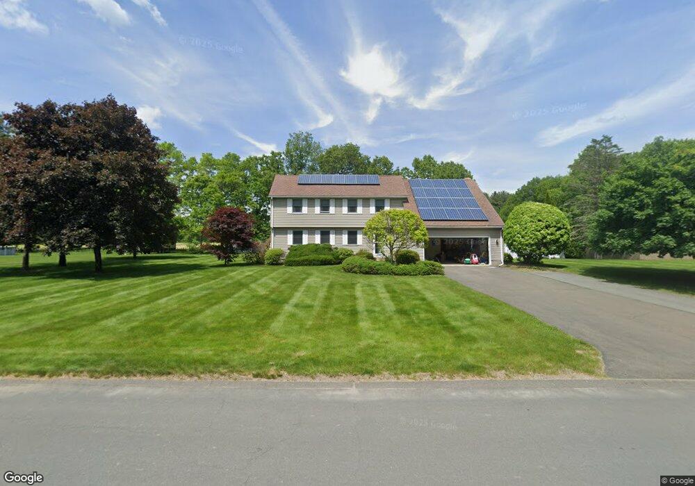
10 Parsons Way Southampton, MA 01073
Estimated Value: $575,686 - $677,000
4
Beds
3
Baths
2,449
Sq Ft
$255/Sq Ft
Est. Value
About This Home
This home is located at 10 Parsons Way, Southampton, MA 01073 and is currently estimated at $624,422, approximately $254 per square foot. 10 Parsons Way is a home located in Hampshire County with nearby schools including William E Norris School, Calvary Baptist Christian School, and White Oak School.
Ownership History
Date
Name
Owned For
Owner Type
Purchase Details
Closed on
Dec 1, 2000
Sold by
Menkel Allan N and Menkel Sally Watson
Bought by
Oconnor Michael J and Oconnor Teresa K
Current Estimated Value
Create a Home Valuation Report for This Property
The Home Valuation Report is an in-depth analysis detailing your home's value as well as a comparison with similar homes in the area
Home Values in the Area
Average Home Value in this Area
Purchase History
| Date | Buyer | Sale Price | Title Company |
|---|---|---|---|
| Oconnor Michael J | $235,000 | -- |
Source: Public Records
Mortgage History
| Date | Status | Borrower | Loan Amount |
|---|---|---|---|
| Closed | Oconnor Michael J | $98,033 | |
| Closed | Oconnor Michael J | $25,000 |
Source: Public Records
Tax History Compared to Growth
Tax History
| Year | Tax Paid | Tax Assessment Tax Assessment Total Assessment is a certain percentage of the fair market value that is determined by local assessors to be the total taxable value of land and additions on the property. | Land | Improvement |
|---|---|---|---|---|
| 2025 | $6,779 | $478,400 | $116,300 | $362,100 |
| 2024 | $6,591 | $462,500 | $116,300 | $346,200 |
| 2023 | $6,175 | $430,900 | $116,300 | $314,600 |
| 2022 | $6,067 | $402,600 | $116,600 | $286,000 |
| 2021 | $5,617 | $351,700 | $106,700 | $245,000 |
| 2020 | $6,788 | $363,100 | $106,700 | $256,400 |
| 2019 | $5,594 | $343,000 | $106,700 | $236,300 |
| 2018 | $6,515 | $316,300 | $95,900 | $220,400 |
| 2017 | $6,251 | $316,300 | $95,900 | $220,400 |
| 2015 | $4,886 | $311,000 | $87,200 | $223,800 |
Source: Public Records
Map
Nearby Homes
- 43 Pomeroy Meadow Rd
- 23 Wolcott Rd
- 216 College Hwy
- 17 Glendale Rd
- 68 College Hwy
- Lot 6 Gil Farm Rd
- Lot 5 Gil Farm Rd
- 12 Golden Cir
- 38 College Hwy
- 77 Crooked Ledge Rd
- 7 Quigley Rd
- 0 Glendale Rd
- 40 Strong Rd
- 19 Lead Mine Rd
- 26 Eastwood Ln
- 119 Brickyard Rd
- Lot 5 Brickyard Rd
- LOT 3 Brickyard Rd
- 23 John St
- 16 Pomeroy Meadow Rd