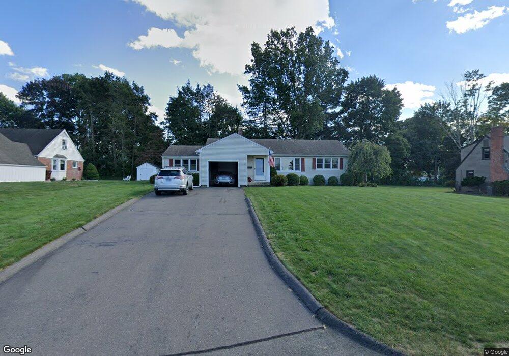
10 Pasture Trail Wethersfield, CT 06109
Estimated Value: $383,069 - $449,000
3
Beds
1
Bath
1,272
Sq Ft
$323/Sq Ft
Est. Value
About This Home
This home is located at 10 Pasture Trail, Wethersfield, CT 06109 and is currently estimated at $411,267, approximately $323 per square foot. 10 Pasture Trail is a home located in Hartford County with nearby schools including Highcrest School, Woodcrest Elementary School, and Silas Deane Middle School.
Ownership History
Date
Name
Owned For
Owner Type
Purchase Details
Closed on
Apr 16, 2018
Sold by
Bockstael Bruce T and Bockstael Carol M
Bought by
Hammond Michele P
Current Estimated Value
Purchase Details
Closed on
Sep 30, 2015
Sold by
Kucinskas Karen and Kucinskas Philip
Bought by
Bockstael Bruce T and Bockstael Carol M
Create a Home Valuation Report for This Property
The Home Valuation Report is an in-depth analysis detailing your home's value as well as a comparison with similar homes in the area
Home Values in the Area
Average Home Value in this Area
Purchase History
| Date | Buyer | Sale Price | Title Company |
|---|---|---|---|
| Hammond Michele P | -- | -- | |
| Bockstael Bruce T | $222,000 | -- |
Source: Public Records
Mortgage History
| Date | Status | Borrower | Loan Amount |
|---|---|---|---|
| Previous Owner | Bockstael Bruce T | $100,000 |
Source: Public Records
Tax History Compared to Growth
Tax History
| Year | Tax Paid | Tax Assessment Tax Assessment Total Assessment is a certain percentage of the fair market value that is determined by local assessors to be the total taxable value of land and additions on the property. | Land | Improvement |
|---|---|---|---|---|
| 2025 | $8,863 | $215,010 | $91,730 | $123,280 |
| 2024 | $6,377 | $147,550 | $74,210 | $73,340 |
| 2023 | $6,165 | $147,550 | $74,210 | $73,340 |
| 2022 | $6,061 | $147,550 | $74,210 | $73,340 |
| 2021 | $6,001 | $147,550 | $74,210 | $73,340 |
| 2020 | $6,004 | $147,550 | $74,210 | $73,340 |
| 2019 | $6,011 | $147,550 | $74,210 | $73,340 |
| 2018 | $5,921 | $145,200 | $72,600 | $72,600 |
| 2017 | $5,775 | $145,200 | $72,600 | $72,600 |
| 2016 | $5,492 | $142,500 | $72,600 | $69,900 |
| 2015 | $5,370 | $140,600 | $72,600 | $68,000 |
| 2014 | $5,166 | $140,600 | $72,600 | $68,000 |
Source: Public Records
Map
Nearby Homes
- 211 Fairlane Dr
- 37 Two Stone Dr
- 34 Clayton Dr
- 148 Raymond Rd
- 650 Maple St
- 268 Fox Hill Rd
- 231 Charter Rd
- 325 Fox Hill Rd
- 88 Highland St
- 45 Sandy Dr
- 0 Old Post Rd
- 19 Jacob Dr
- 1610 Silas Deane Hwy
- 155 Old Common Rd
- 27 Little Oak Ln Unit 27
- 36 Copper Beech Dr
- 50 Little Oak Ln Unit 50
- 46 Little Oak Ln Unit 46
- 5 Robeth Ln
- 59 Chapin Ave
- 18 Pasture Trail
- 119 Two Stone Dr
- 27 Fox Hill Rd
- 21 Fox Hill Rd
- 109 Two Stone Dr
- 35 Fox Hill Rd
- 15 Fox Hill Rd
- 15 Pasture Trail
- 28 Pasture Trail
- 124 Two Stone Dr
- 41 Fox Hill Rd
- 23 Pasture Trail
- 114 Two Stone Dr
- 135 Two Stone Dr
- 101 Two Stone Dr
- 144 Two Brook Rd
- 777 Maple St
- 104 Two Stone Dr
- 797 Maple St
- 49 Fox Hill Rd