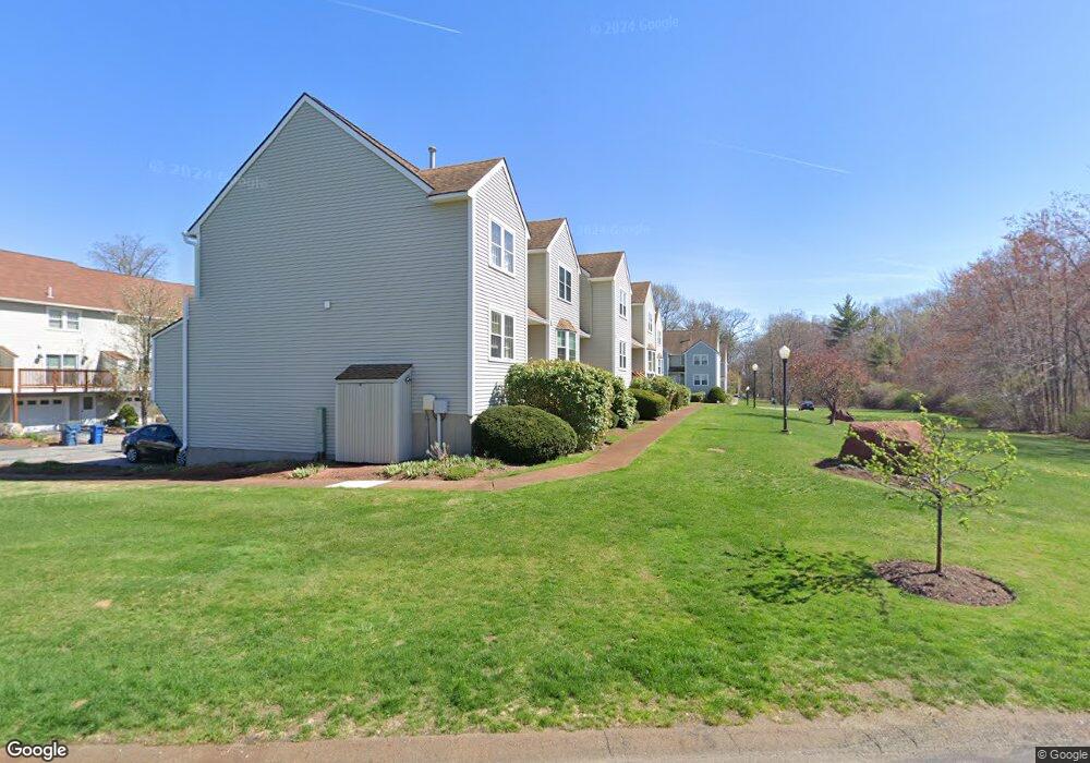
10 Patrick Rd Tewksbury, MA 01876
Estimated Value: $497,000 - $513,000
2
Beds
2
Baths
1,240
Sq Ft
$407/Sq Ft
Est. Value
About This Home
This home is located at 10 Patrick Rd, Tewksbury, MA 01876 and is currently estimated at $504,778, approximately $407 per square foot. 10 Patrick Rd is a home located in Middlesex County.
Ownership History
Date
Name
Owned For
Owner Type
Purchase Details
Closed on
Aug 23, 2021
Sold by
Alari Carol
Bought by
C Alari Ret 2021
Current Estimated Value
Purchase Details
Closed on
Apr 1, 2002
Sold by
Bourget Robertb
Bought by
Cote Carol A
Home Financials for this Owner
Home Financials are based on the most recent Mortgage that was taken out on this home.
Original Mortgage
$156,000
Interest Rate
6.88%
Mortgage Type
Purchase Money Mortgage
Purchase Details
Closed on
Jan 15, 1988
Sold by
F I C Assoc Inc
Bought by
Bourget Robert B
Home Financials for this Owner
Home Financials are based on the most recent Mortgage that was taken out on this home.
Original Mortgage
$114,300
Interest Rate
10.58%
Mortgage Type
Purchase Money Mortgage
Create a Home Valuation Report for This Property
The Home Valuation Report is an in-depth analysis detailing your home's value as well as a comparison with similar homes in the area
Home Values in the Area
Average Home Value in this Area
Purchase History
| Date | Buyer | Sale Price | Title Company |
|---|---|---|---|
| C Alari Ret 2021 | -- | None Available | |
| Cote Carol A | $195,000 | -- | |
| Bourget Robert B | $142,900 | -- |
Source: Public Records
Mortgage History
| Date | Status | Borrower | Loan Amount |
|---|---|---|---|
| Previous Owner | Bourget Robert B | $170,000 | |
| Previous Owner | Bourget Robert B | $156,000 | |
| Previous Owner | Bourget Robert B | $29,200 | |
| Previous Owner | Bourget Robert B | $114,300 |
Source: Public Records
Tax History Compared to Growth
Tax History
| Year | Tax Paid | Tax Assessment Tax Assessment Total Assessment is a certain percentage of the fair market value that is determined by local assessors to be the total taxable value of land and additions on the property. | Land | Improvement |
|---|---|---|---|---|
| 2025 | $5,670 | $428,900 | $0 | $428,900 |
| 2024 | $5,393 | $402,800 | $0 | $402,800 |
| 2023 | $5,303 | $376,100 | $0 | $376,100 |
| 2022 | $4,742 | $312,000 | $0 | $312,000 |
| 2021 | $4,645 | $295,500 | $0 | $295,500 |
| 2020 | $4,805 | $300,900 | $0 | $300,900 |
| 2019 | $4,071 | $257,000 | $0 | $257,000 |
| 2018 | $3,912 | $242,500 | $0 | $242,500 |
| 2017 | $3,673 | $225,200 | $0 | $225,200 |
| 2016 | $3,486 | $213,200 | $0 | $213,200 |
| 2015 | $3,127 | $191,000 | $0 | $191,000 |
| 2014 | $3,098 | $192,300 | $0 | $192,300 |
Source: Public Records
Map
Nearby Homes
- 61 Patrick Rd
- 43 Patrick Rd
- 11 Orchard St
- 1418 Main St Unit 201
- 1325 Main
- 172 Patrick Rd
- 1455 Main St Unit 8
- 12 Hillcrest Rd
- 20 Sophie Ruth Way
- 13 Berkeley
- 1 Tremblay Ave
- 14 Hinckley Rd
- 15 Pinewood Rd
- 9 Tomahawk Dr
- 107 Eagle Dr Unit 107
- 93 Fairway Dr
- 127 Caddy Ct
- 16 Eagle Dr
- 177 Apache Way Unit 177
- 910 Livingston St