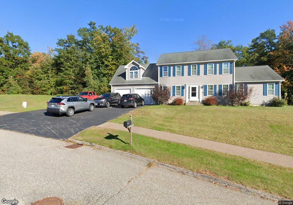
10 Patriot Ln Rutland, MA 01543
Estimated Value: $633,000 - $657,000
4
Beds
3
Baths
2,318
Sq Ft
$277/Sq Ft
Est. Value
About This Home
This home is located at 10 Patriot Ln, Rutland, MA 01543 and is currently estimated at $641,847, approximately $276 per square foot. 10 Patriot Ln is a home with nearby schools including Wachusett Regional High School.
Ownership History
Date
Name
Owned For
Owner Type
Purchase Details
Closed on
Dec 14, 2021
Sold by
Ladner Carol E Est and Desroches
Bought by
Belisle Robert S
Current Estimated Value
Home Financials for this Owner
Home Financials are based on the most recent Mortgage that was taken out on this home.
Original Mortgage
$260,000
Outstanding Balance
$238,080
Interest Rate
3.09%
Mortgage Type
Purchase Money Mortgage
Estimated Equity
$403,767
Purchase Details
Closed on
May 5, 2011
Sold by
Ccc Rt and Hopkins
Bought by
Desroches Holly J and Ladner Carol E
Create a Home Valuation Report for This Property
The Home Valuation Report is an in-depth analysis detailing your home's value as well as a comparison with similar homes in the area
Home Values in the Area
Average Home Value in this Area
Purchase History
| Date | Buyer | Sale Price | Title Company |
|---|---|---|---|
| Belisle Robert S | $240,000 | None Available | |
| Desroches Holly J | $359,000 | -- | |
| Desroches Holly J | $359,000 | -- |
Source: Public Records
Mortgage History
| Date | Status | Borrower | Loan Amount |
|---|---|---|---|
| Open | Belisle Robert S | $260,000 |
Source: Public Records
Tax History Compared to Growth
Tax History
| Year | Tax Paid | Tax Assessment Tax Assessment Total Assessment is a certain percentage of the fair market value that is determined by local assessors to be the total taxable value of land and additions on the property. | Land | Improvement |
|---|---|---|---|---|
| 2025 | $7,405 | $520,000 | $118,900 | $401,100 |
| 2024 | $7,330 | $494,300 | $107,300 | $387,000 |
| 2023 | $6,728 | $490,400 | $101,100 | $389,300 |
| 2022 | $6,302 | $399,100 | $85,800 | $313,300 |
| 2021 | $6,187 | $370,500 | $85,800 | $284,700 |
| 2020 | $6,266 | $355,800 | $80,900 | $274,900 |
| 2019 | $6,190 | $346,000 | $74,100 | $271,900 |
| 2018 | $5,945 | $327,900 | $74,100 | $253,800 |
| 2017 | $6,055 | $330,500 | $74,100 | $256,400 |
| 2016 | $5,557 | $319,900 | $70,500 | $249,400 |
| 2015 | $5,480 | $310,500 | $70,500 | $240,000 |
| 2014 | $5,313 | $310,500 | $70,500 | $240,000 |
Source: Public Records
Map
Nearby Homes
- 75 Barre Rd
- 45 Old Colony Rd
- 2 Simon Davis Dr
- 35 Brintnal Dr
- 81 Glenwood Place
- 73 Brintnal Dr
- 271 Glenwood Rd
- 101 Brintnal Dr
- 175 Glenwood Rd
- 40 Brunelle Dr
- 1 Barre Road Cut Off
- 56 Hubbardston Rd
- 105 Hale Rd
- 16 Richards Ave
- 7 Williamsville Rd
- 55 Pommogussett Rd
- 147 E County Rd Unit 149
- 25 Watson Ln
- 5 Miles Rd
- 51 Woodside Ave