10 Paul St Canton, MA 02021
Estimated Value: $837,916 - $1,031,000
4
Beds
3
Baths
2,145
Sq Ft
$421/Sq Ft
Est. Value
About This Home
This home is located at 10 Paul St, Canton, MA 02021 and is currently estimated at $903,979, approximately $421 per square foot. 10 Paul St is a home located in Norfolk County with nearby schools including Canton High School, St. John the Evangelist School, and Chabad Day School of School.
Ownership History
Date
Name
Owned For
Owner Type
Purchase Details
Closed on
Oct 10, 2008
Sold by
Rosenstein Jae and Rosenstein Steven
Bought by
Hung Joshua and Hung Kelly
Current Estimated Value
Purchase Details
Closed on
May 1, 2003
Sold by
Orkin Ellen J and Orkin Jonathan P
Bought by
Rosenstein Jae and Rosenstein Steven
Purchase Details
Closed on
Jun 21, 1996
Sold by
Epstein Dalia L
Bought by
Orkin Jonathan P and Orkin Ellen J
Purchase Details
Closed on
Aug 1, 1991
Sold by
Horan Harriet C
Bought by
Levine Martin E and Levine Dalia
Create a Home Valuation Report for This Property
The Home Valuation Report is an in-depth analysis detailing your home's value as well as a comparison with similar homes in the area
Home Values in the Area
Average Home Value in this Area
Purchase History
| Date | Buyer | Sale Price | Title Company |
|---|---|---|---|
| Hung Joshua | $457,000 | -- | |
| Rosenstein Jae | $400,000 | -- | |
| Orkin Jonathan P | $202,500 | -- | |
| Levine Martin E | $170,000 | -- |
Source: Public Records
Mortgage History
| Date | Status | Borrower | Loan Amount |
|---|---|---|---|
| Open | Levine Martin E | $100,000 | |
| Open | Levine Martin E | $414,000 | |
| Closed | Levine Martin E | $416,000 |
Source: Public Records
Tax History
| Year | Tax Paid | Tax Assessment Tax Assessment Total Assessment is a certain percentage of the fair market value that is determined by local assessors to be the total taxable value of land and additions on the property. | Land | Improvement |
|---|---|---|---|---|
| 2025 | $7,392 | $747,400 | $327,100 | $420,300 |
| 2024 | $7,514 | $753,700 | $343,100 | $410,600 |
| 2023 | $7,425 | $702,500 | $343,100 | $359,400 |
| 2022 | $6,896 | $607,600 | $326,800 | $280,800 |
| 2021 | $6,462 | $529,700 | $272,300 | $257,400 |
| 2020 | $6,220 | $508,600 | $259,400 | $249,200 |
| 2019 | $6,189 | $499,100 | $235,700 | $263,400 |
| 2018 | $5,963 | $480,100 | $226,700 | $253,400 |
| 2017 | $6,023 | $470,900 | $222,200 | $248,700 |
| 2016 | $5,926 | $463,300 | $216,800 | $246,500 |
| 2015 | $5,786 | $451,300 | $210,500 | $240,800 |
Source: Public Records
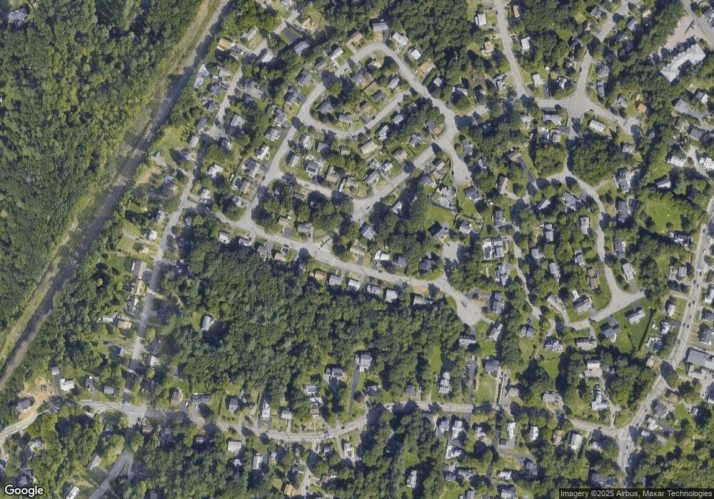
Map
Nearby Homes
- 265 Norfolk St
- 353 Washington St
- 77 Neponset St Unit 77
- 84 Walpole St Unit 1C
- 59 Walpole St Unit 116
- 59 Walpole St Unit 210
- 69 Pond St
- 1 Revolution Way Unit 208
- 1 Revolution Way Unit 307
- 651 Washington St
- 356 Neponset St Unit E
- 30 Coppersmith Way Unit 209
- 30 Coppersmith Way Unit 313
- 30 Coppersmith Way Unit 112
- 30 Coppersmith Way Unit 207
- 30 Coppersmith Way Unit 109
- 30 Coppersmith Way Unit 206
- 30 Coppersmith Way Unit 110
- 30 Coppersmith Way Unit 113
- 30 Coppersmith Way Unit 104
Your Personal Tour Guide
Ask me questions while you tour the home.