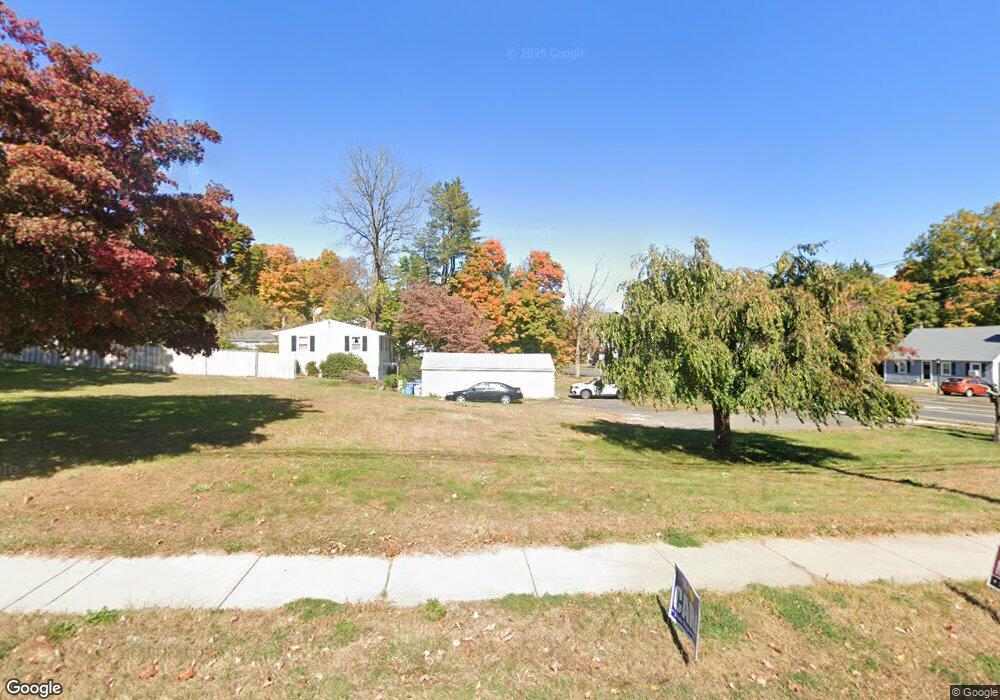
10 Peacedale St Bristol, CT 06010
North Bristol NeighborhoodEstimated Value: $359,116 - $385,000
--
Bed
2
Baths
--
Sq Ft
0.32
Acres
About This Home
This home is located at 10 Peacedale St, Bristol, CT 06010 and is currently estimated at $372,058. 10 Peacedale St is a home located in Hartford County with nearby schools including Edgewood School, Chippens Hill Middle School, and Bristol Central High School.
Ownership History
Date
Name
Owned For
Owner Type
Purchase Details
Closed on
Jun 4, 2015
Sold by
Vazquez Jose C
Bought by
Connecticut State Of
Current Estimated Value
Purchase Details
Closed on
Mar 22, 2004
Sold by
Gangl George and Gangl Amanda
Bought by
Vazquez Jose C and Johnson Cindy A
Purchase Details
Closed on
Nov 7, 2003
Sold by
Card Cheryl
Bought by
Gangl George and Gangl Amanda
Purchase Details
Closed on
Feb 16, 1993
Sold by
Wong Eugene K and Wong Ruth Ann
Bought by
Card Cheryl and Card Janis
Create a Home Valuation Report for This Property
The Home Valuation Report is an in-depth analysis detailing your home's value as well as a comparison with similar homes in the area
Home Values in the Area
Average Home Value in this Area
Purchase History
| Date | Buyer | Sale Price | Title Company |
|---|---|---|---|
| Connecticut State Of | $190,000 | -- | |
| Vazquez Jose C | $174,000 | -- | |
| Gangl George | $126,500 | -- | |
| Card Cheryl | $124,500 | -- |
Source: Public Records
Mortgage History
| Date | Status | Borrower | Loan Amount |
|---|---|---|---|
| Previous Owner | Card Cheryl | $192,500 | |
| Previous Owner | Card Cheryl | $201,000 | |
| Previous Owner | Card Cheryl | $195,000 |
Source: Public Records
Tax History Compared to Growth
Tax History
| Year | Tax Paid | Tax Assessment Tax Assessment Total Assessment is a certain percentage of the fair market value that is determined by local assessors to be the total taxable value of land and additions on the property. | Land | Improvement |
|---|---|---|---|---|
| 2025 | $123 | $3,640 | $3,640 | $0 |
| 2024 | $116 | $3,640 | $3,640 | $0 |
| 2023 | $110 | $3,640 | $3,640 | $0 |
| 2022 | $132 | $3,430 | $3,430 | $0 |
| 2021 | $132 | $3,430 | $3,430 | $0 |
| 2020 | $132 | $3,430 | $3,430 | $0 |
| 2019 | $0 | $27,300 | $27,300 | $0 |
| 2018 | $0 | $58,030 | $58,030 | $0 |
| 2017 | $0 | $55,300 | $55,300 | $0 |
| 2016 | $4,465 | $55,300 | $55,300 | $0 |
| 2015 | $4,465 | $129,010 | $55,300 | $73,710 |
| 2014 | -- | $129,010 | $55,300 | $73,710 |
Source: Public Records
Map
Nearby Homes
- 39 Pine Meadow Dr
- 51 Pine Meadow Dr
- 6 El Toro Dr
- 118 Ashley Rd
- 123 El Toro Dr
- 0 Hart St Unit 170255530
- 120 Round Hill Rd
- 15 Jan Rd
- 48 Boivin St
- 276 Hart St
- 286 Fern Hill Rd
- 62 (Lot 13-1) James P Casey Rd
- 164 Fox Den Rd
- 36 Henderson St
- 75 Sturbridge Ct
- 116 Larkspur Ln
- 51 Sharon St
- 240 Burlington Ave Unit 27
- 1970 Perkins St
- 68 Hart St
- 9 Peacedale
- 0 Peacedale St Unit N343724
- 0 Peacedale St Unit 170275848
- 825 Burlington Ave
- 24 Peacedale St
- 801 Burlington Ave
- 801 Burlington Ave
- 25 Peacedale St
- 839 Burlington Ave
- 826 Burlington Ave
- 836 Burlington Ave
- 785 Burlington Ave
- 34 Peacedale St
- 540 Maple Ave
- 840 Burlington Ave
- 851 Burlington Ave
- 46 Peacedale St
- 516 Maple Ave
- 45 Peacedale St
- 769 Burlington Ave